Imagine a construction project where every contour, elevation, and structural detail is not just considered but accurately mapped from the outset. This is where the significance of topographical surveys comes into play.
As professionals working on-site, you understand the importance of informed decision-making, timely execution, and a seamless construction process.
In this blog, we discuss topographical surveys—a fundamental tool that goes beyond conventional mapping. We aim to shed light on what a topographical survey involves, why it is indispensable in construction planning, and how its precision can be the key to unlocking a streamlined and successful project.
Firstly, let’s define a topological survey.
What Is A Topological Survey?
A topographical survey, also known as a land survey, provides a comprehensive and accurate record of both the natural and man-made elements that define a specific piece of terrain.
It captures details such as:
- Elevation changes
- Contours
- Structures
- Vegetation
- Plus any other distinctive attributes that shape the landscape
This mapping goes beyond the surface, offering a three-dimensional representation of the terrain, which is invaluable for various industries, particularly in construction planning.
Let’s delve a little deeper into topographical surveys and what they can do for you.
Key Components Of A Topographical Survey
To fully appreciate topological surveys and their value in construction planning, it's essential to understand the key components that make up this detailed mapping process.
Elevation Data
At the core of a topographical survey lies the precise measurement of elevation points across the site.
This data forms the foundation for understanding the vertical variations in the terrain, allowing for accurate representation in the final survey map.
Contour Lines
Contour lines connect points of equal elevation, creating a visual representation of the land's shape.
These lines are crucial for identifying slopes, hills, and valleys, providing valuable insights for designing structures that seamlessly integrate with the natural topography.
Structural Details
A comprehensive topographical survey includes the mapping of existing structures on the site.
This can range from buildings and roads to utility lines, offering a holistic view of the current state of the land.
Vegetation and Land Cover
The survey captures details about vegetation, trees, and other land cover elements.
Understanding the existing vegetation aids in both environmental impact assessments and landscape design, ensuring a strong relationship between the constructed environment and nature.
Water Bodies
Topographical surveys account for the presence and characteristics of water bodies, such as rivers, lakes, and ponds.
This information is vital for assessing flood risks, planning drainage systems, and designing structures in proximity to water features.
Surveying Tools and Technologies
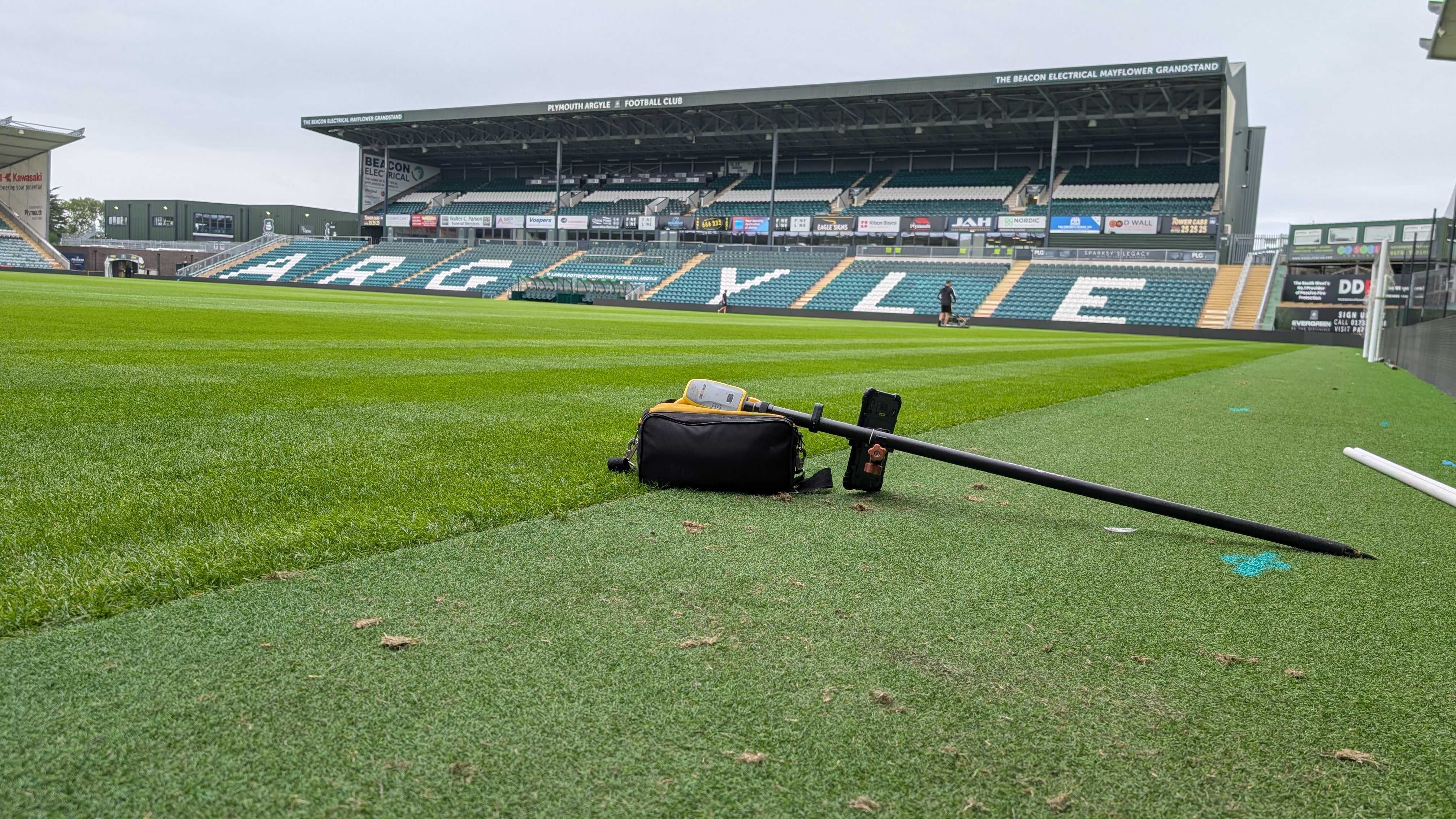
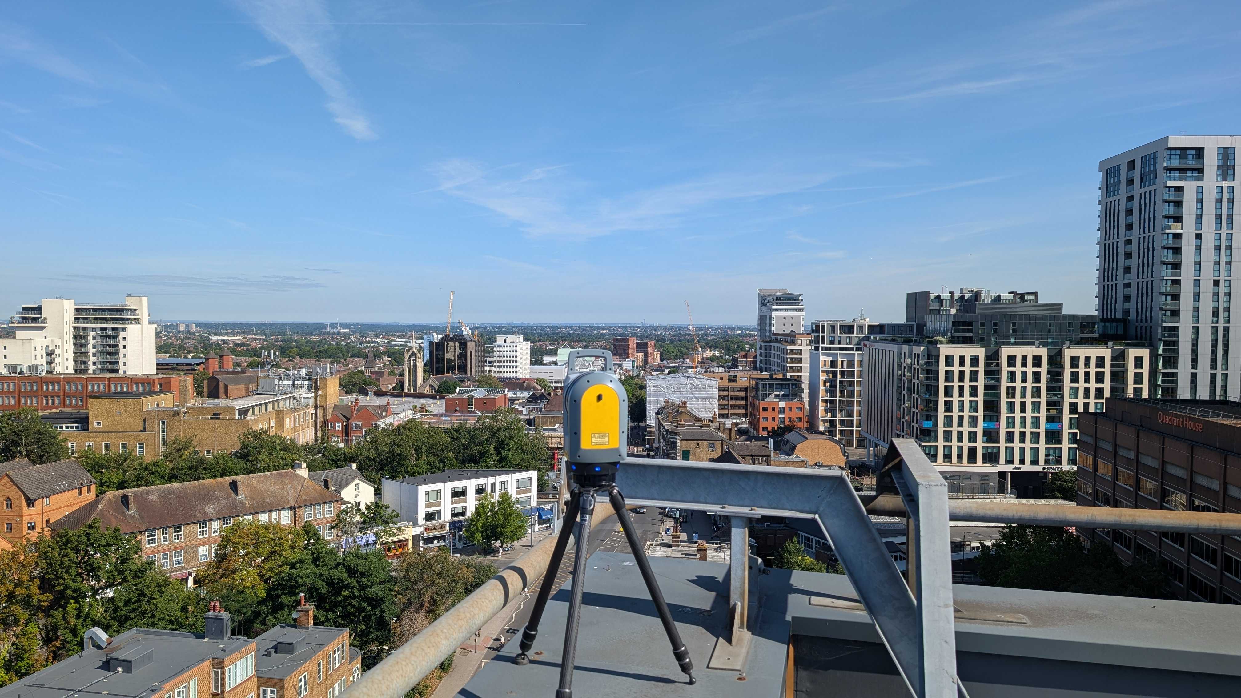
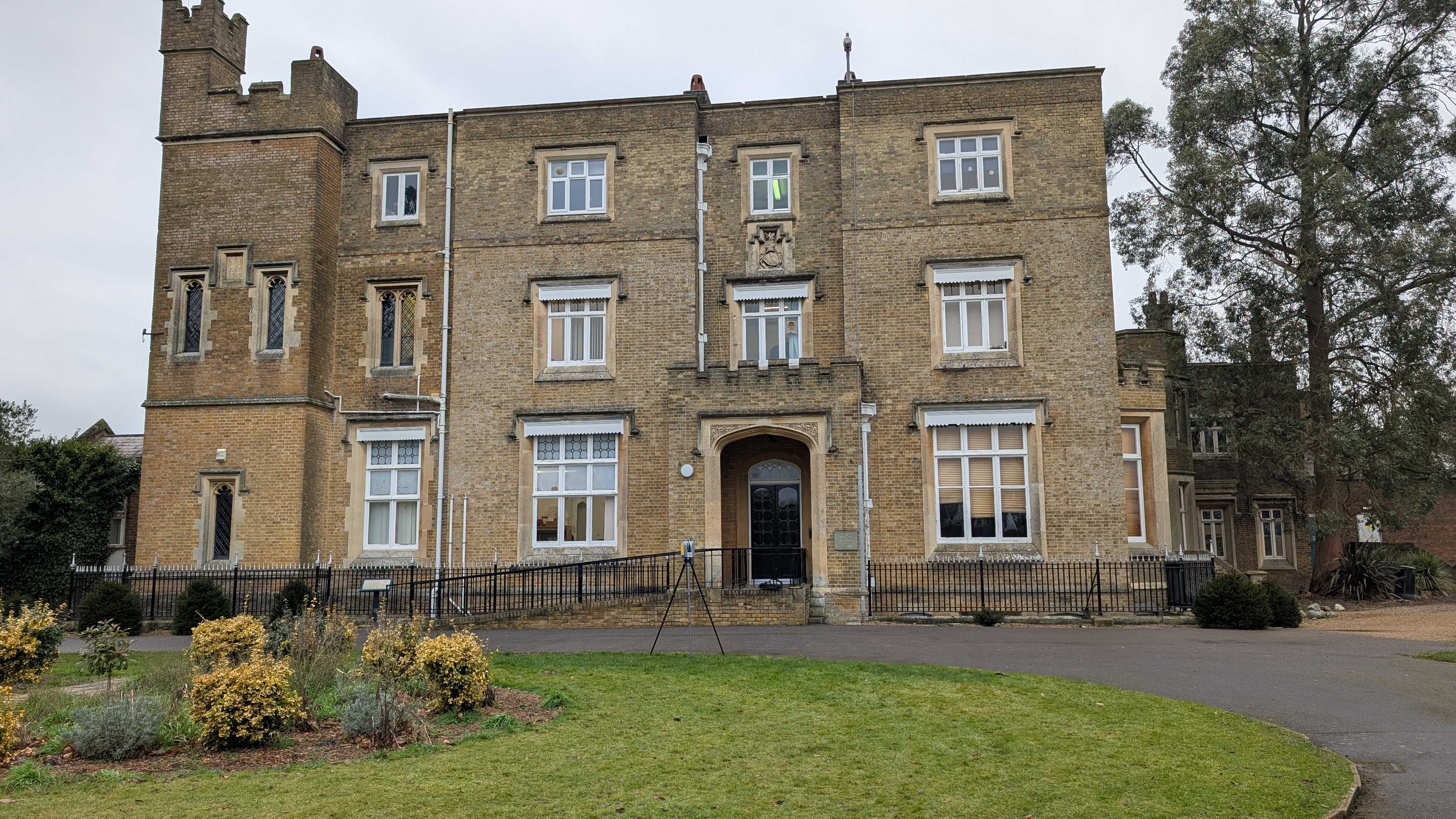
The use of advanced surveying tools and technologies, such as the integrated Leica Robotic Total Stations, GNSS and 3D laser scanning that we use at Intersect Surveys, is to efficiently capture survey data in two or three dimensions.
So, why might you need one for your next project?
Why Topographical Surveys Matter In Construction Planning
No one wants their project to get behind on schedule, or encounter costly mistakes.
Topographical surveys help in achieving project precision, giving you the ability to transform the planning landscape.
How do they do this?
- Informed Decision-Making
Topographical surveys give project stakeholders accurate and detailed data about the existing terrain.
This wealth of information enables architects, engineers, and construction professionals to make well-informed decisions, considering the specific characteristics and challenges of the site.
- Risk Mitigation
The precision of topographical surveys aids in identifying potential risks early in the planning phase.
By uncovering hidden challenges, such as uneven terrain or drainage issues, these surveys allow for proactive measures to mitigate risks before they escalate into costly problems during construction.
- Optimised Design
With a clear understanding of the topography, you can optimise your plans to work with the natural features of the land.
This results in more efficient designs that consider elevation changes, water flow, and other factors, contributing to the overall success and sustainability of the project.
- Cost Efficiency
Accurate topographical surveys contribute to cost-effective construction by preventing unforeseen issues that could lead to budget overruns.
The upfront investment in a topographical survey proves to be a strategic move, saving both time and resources over the course of the project.
- Timeline Management
Construction projects often operate on tight schedules, and delays can have cascading effects.
Topographical surveys provide a foundation for realistic project timelines, reducing the likelihood of unexpected setbacks and ensuring smoother project execution.
Ultimately, for professionals immersed in the complexities of on-site construction, the incorporation of topographical surveys into the planning stage becomes a strategic choice.
Why Choose Intersect Surveys For Your Topological Survey Needs
When you are looking for a company to take on your surveying work, it’s important to work with a company you can trust.
Intersect Surveys offers robust survey practice, combined with the latest technology, allowing our team to deliver highly accurate Topographical Surveys for small & large-scale engineering projects, architectural design phases, & planning developments.
Offering a competitive price and a quick turnaround time, you can be sure to look no further for all of your topographical survey needs.
Make sure to get in touch with a member of the team today to discuss your individual project needs with one of our surveying experts!
FAQs
- What is the primary purpose of a topographical survey in construction planning?
A topographical survey serves as a detailed mapping of the natural and man-made features of a piece of land. Its primary purpose is to provide accurate data on elevation, contours, structures, vegetation, and other relevant details, empowering informed decision-making during construction planning.
- How does precision in topographical surveys contribute to cost-effective construction?
Precision in topographical surveys minimises the risk of unforeseen issues during construction. By identifying potential challenges early in the planning phase, the surveys help prevent costly corrections or modifications later, contributing to cost-effectiveness in construction projects.
- What are the key components captured in a topographical survey?
A comprehensive topographical survey includes elevation data, contour lines, structural details, information about vegetation and land cover, and details about water bodies. Additionally, modern surveying tools and technologies such as GPS, LiDAR, and drones are often employed to enhance precision and data collection.
- How does a topographical survey optimize design in construction projects?
Topographical surveys provide precise information about the existing terrain, enabling designers to optimize their plans. This includes considerations for elevation changes, contour lines, and other topographical features, resulting in more efficient designs that work harmoniously with the natural landscape.
- Why should construction professionals consider topographical surveys an essential tool in their projects?
Topographical surveys offer a wealth of benefits, including accurate decision-making, early issue identification, efficient design optimisation, cost-effective construction, certainty in project timelines, enhanced environmental considerations, optimised resource allocation, and streamlined project execution.


