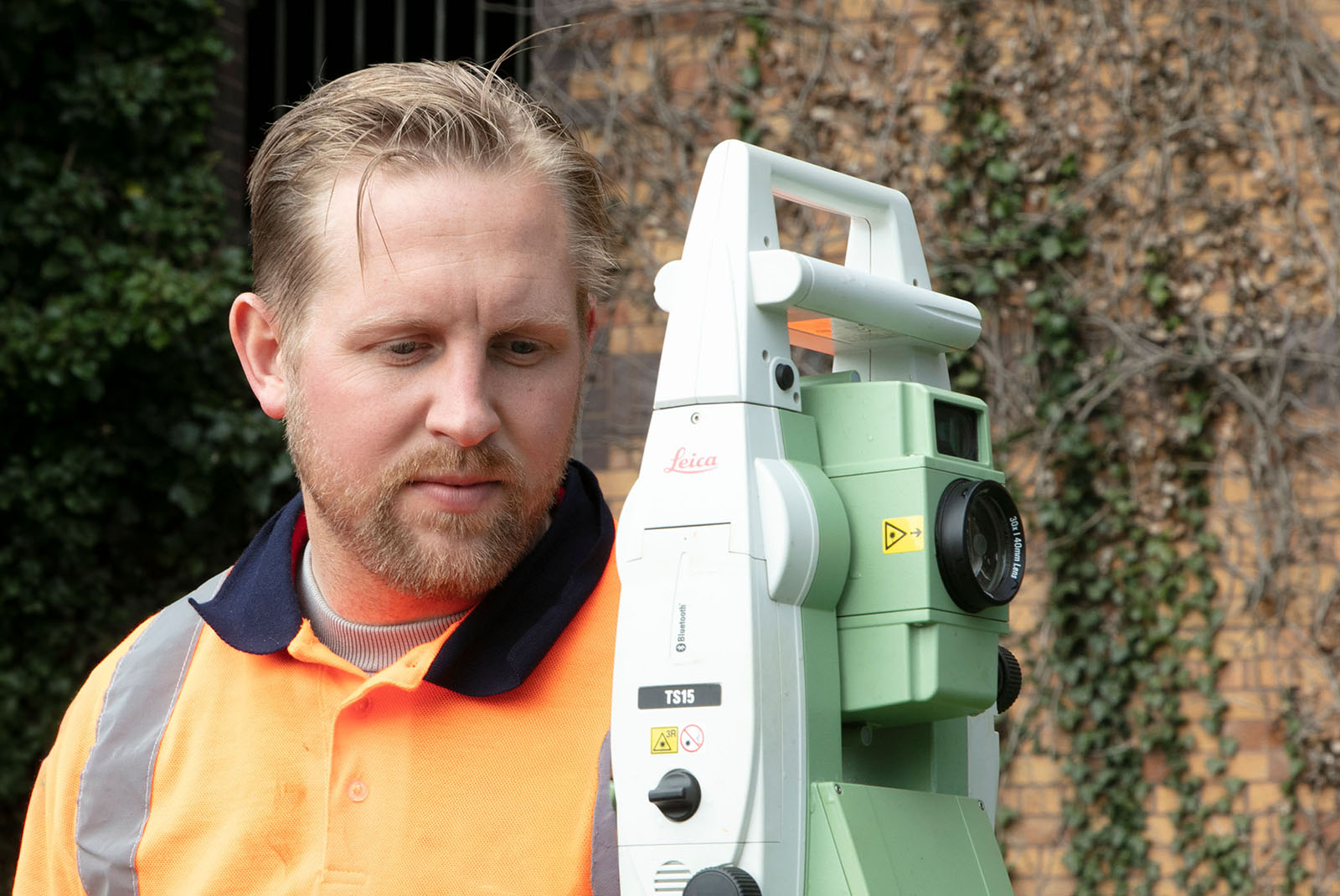
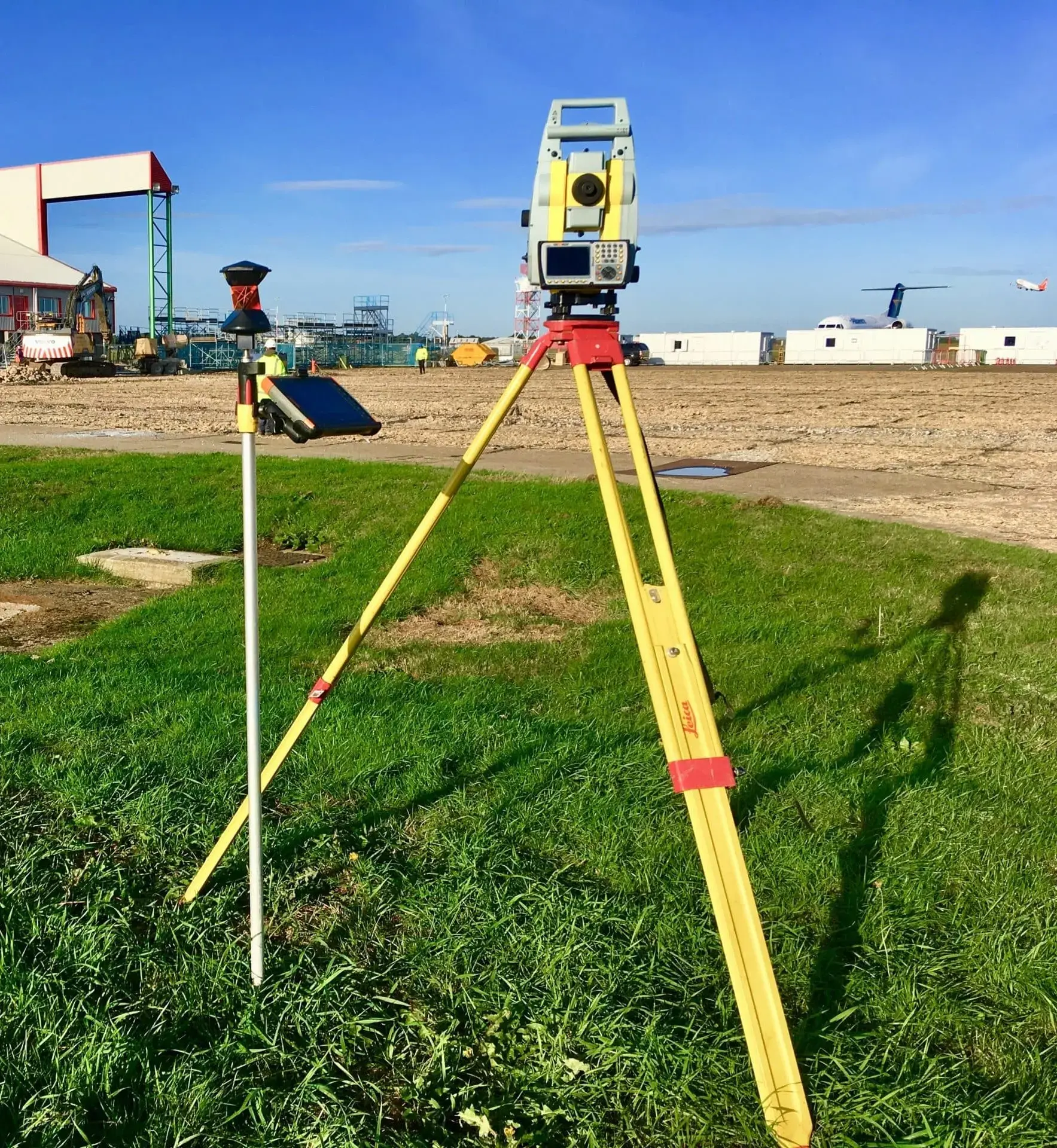
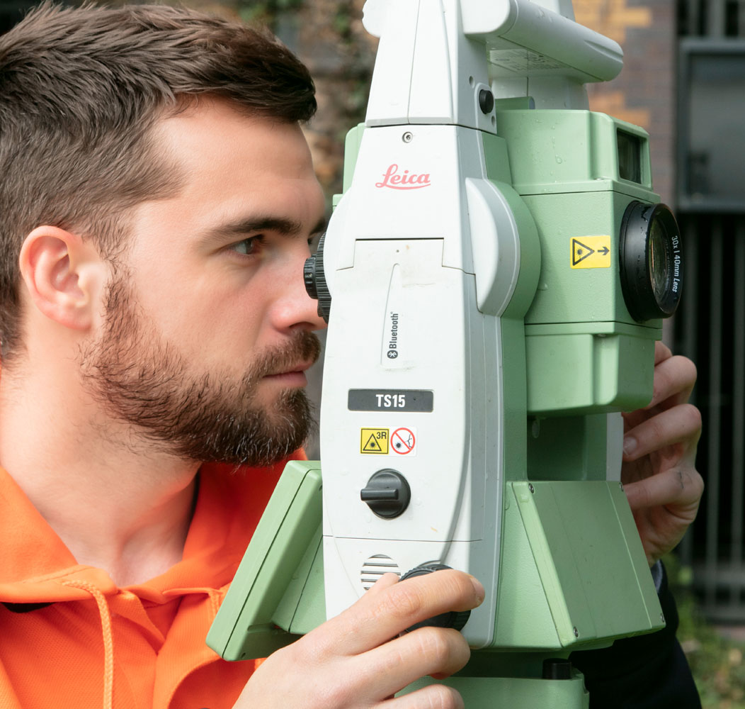
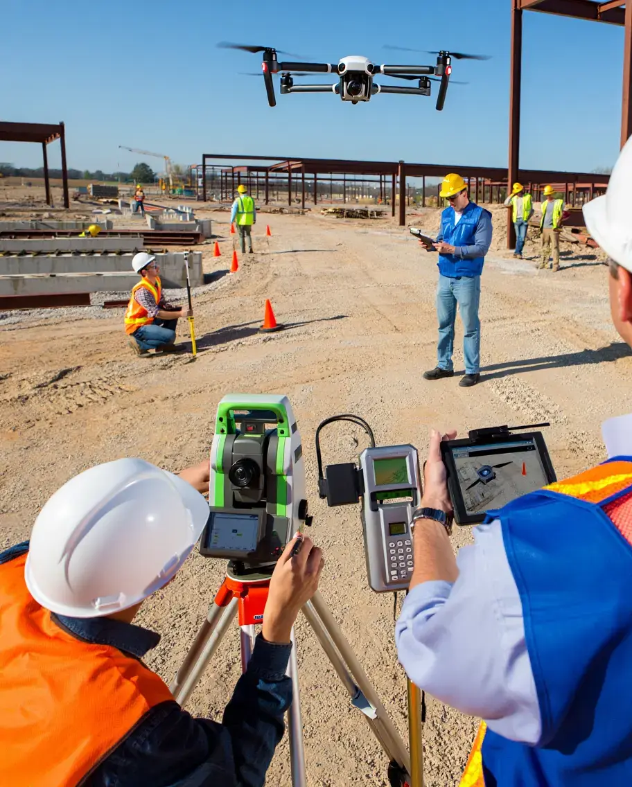
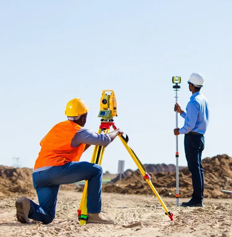
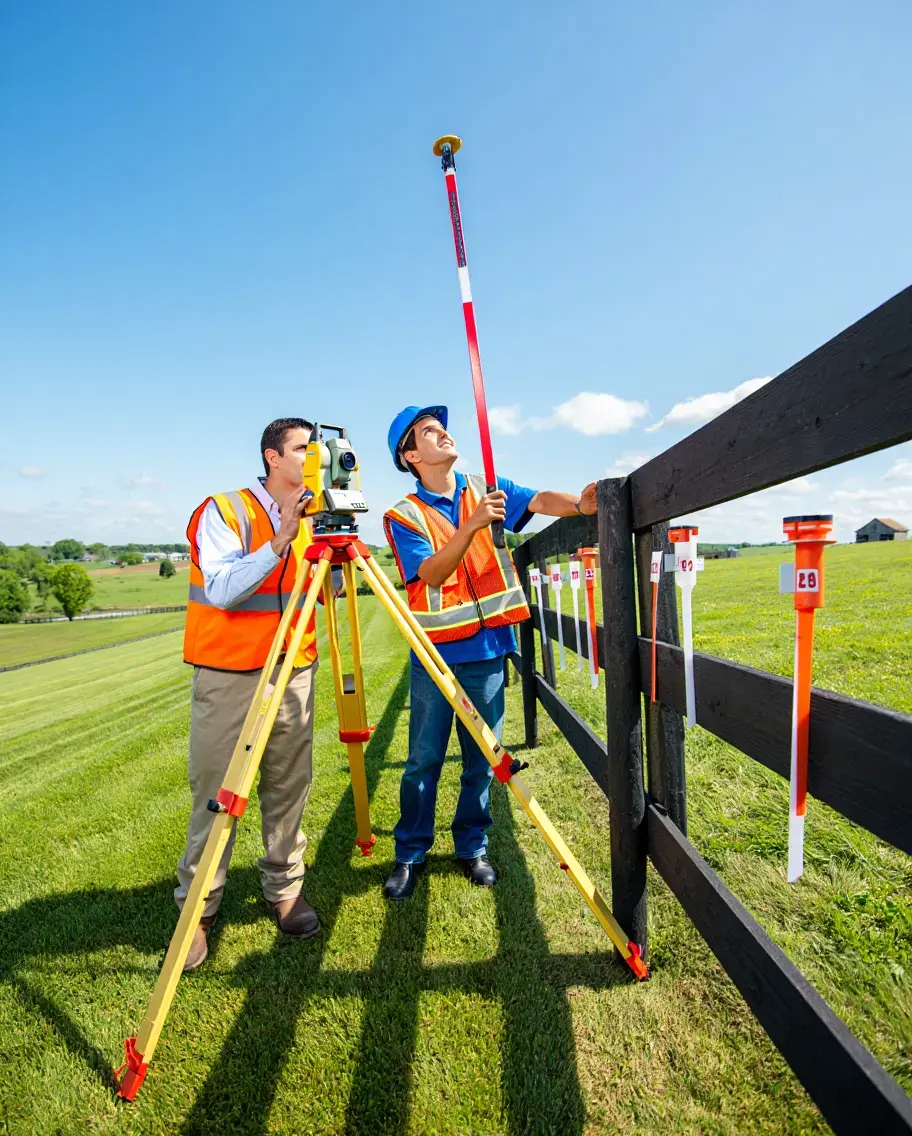
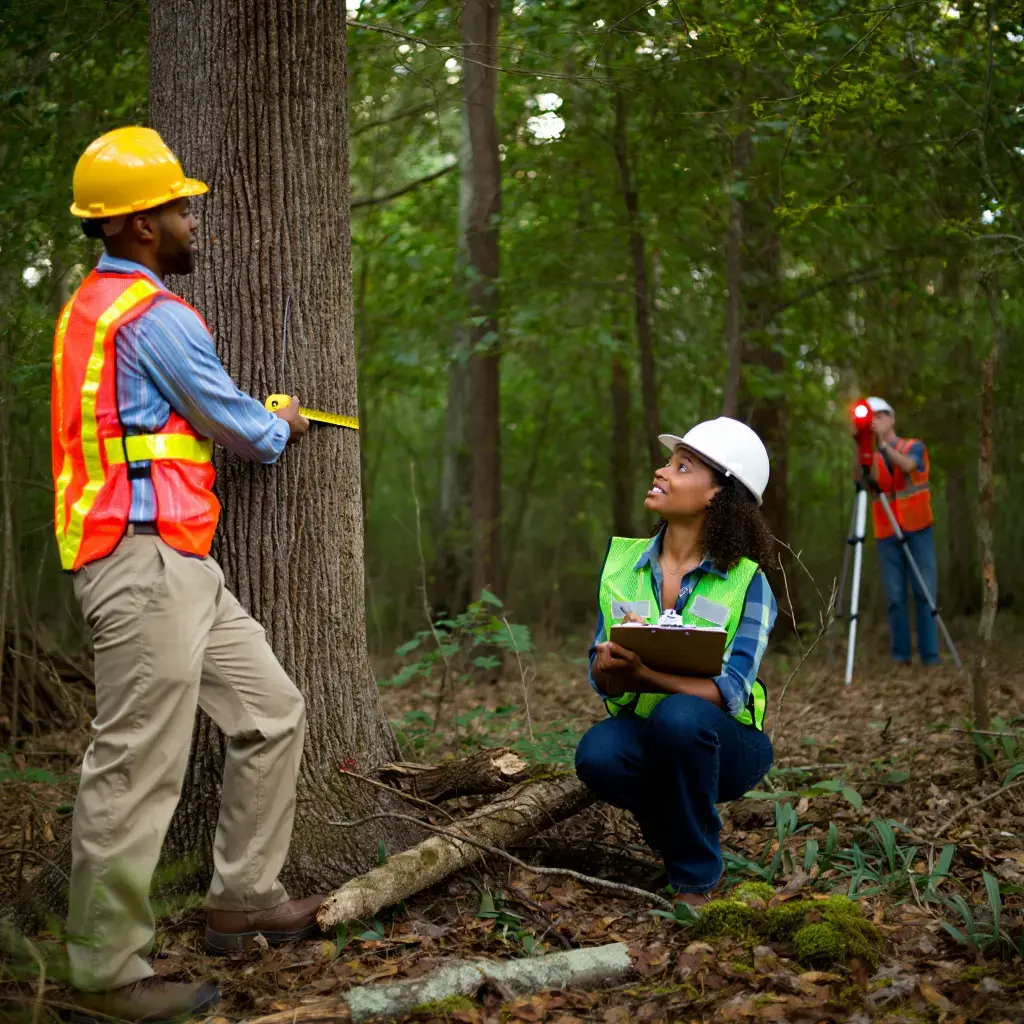
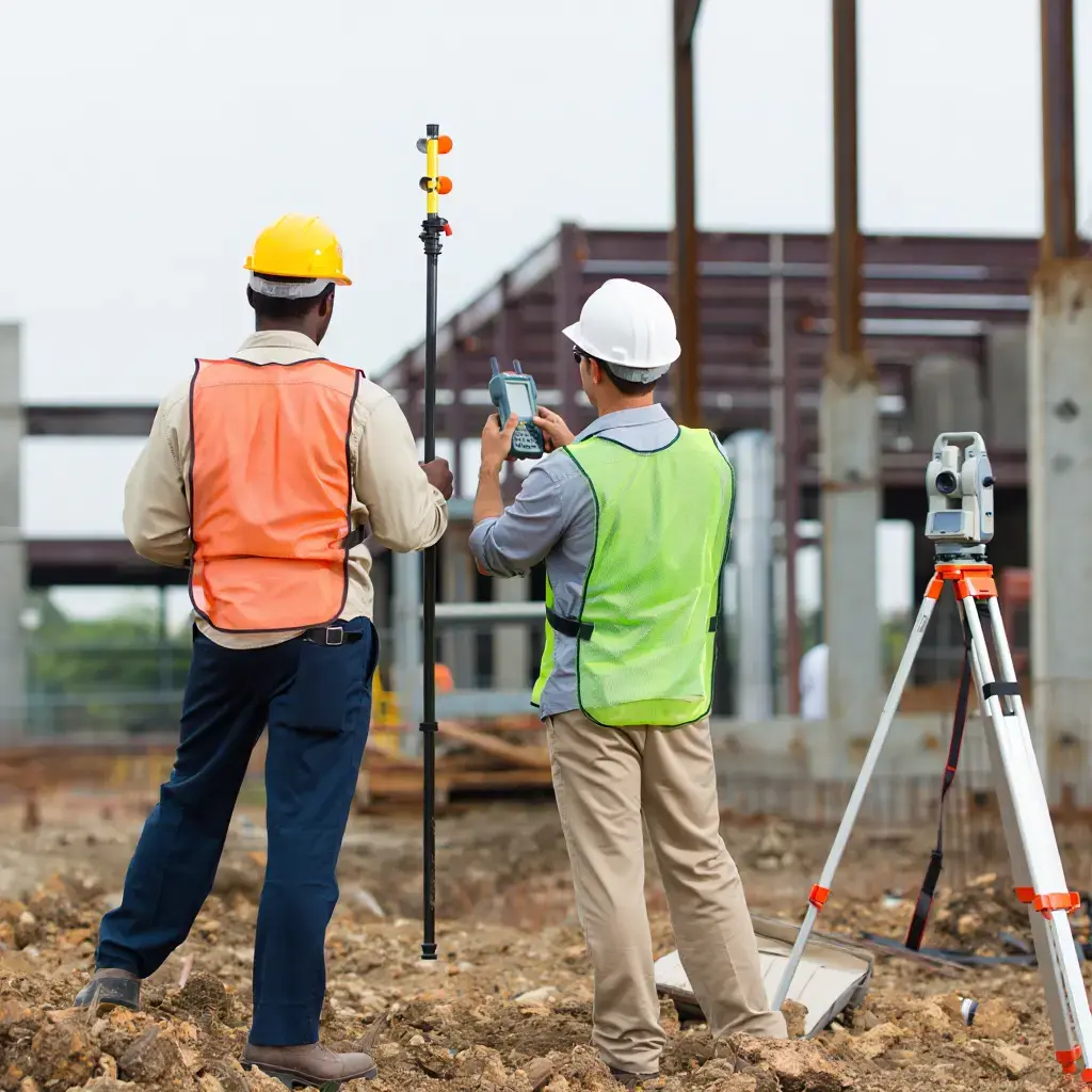
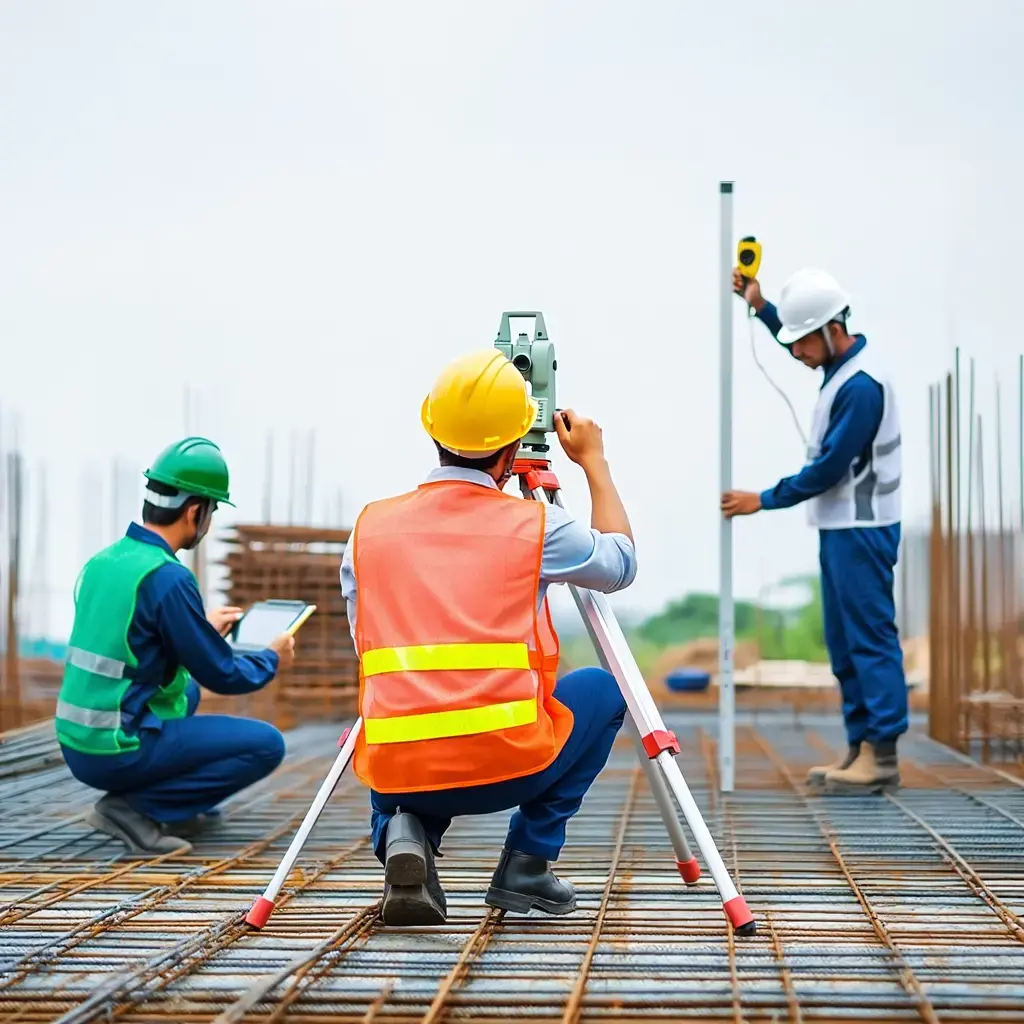
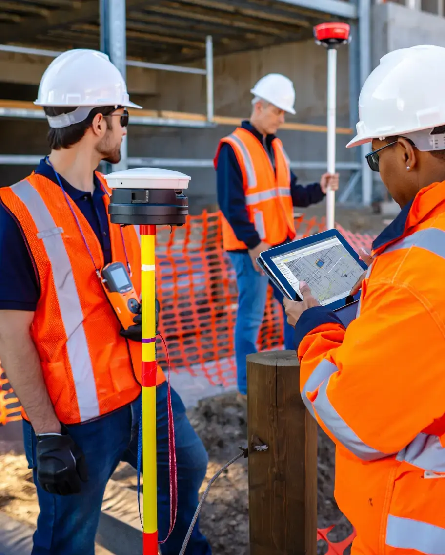
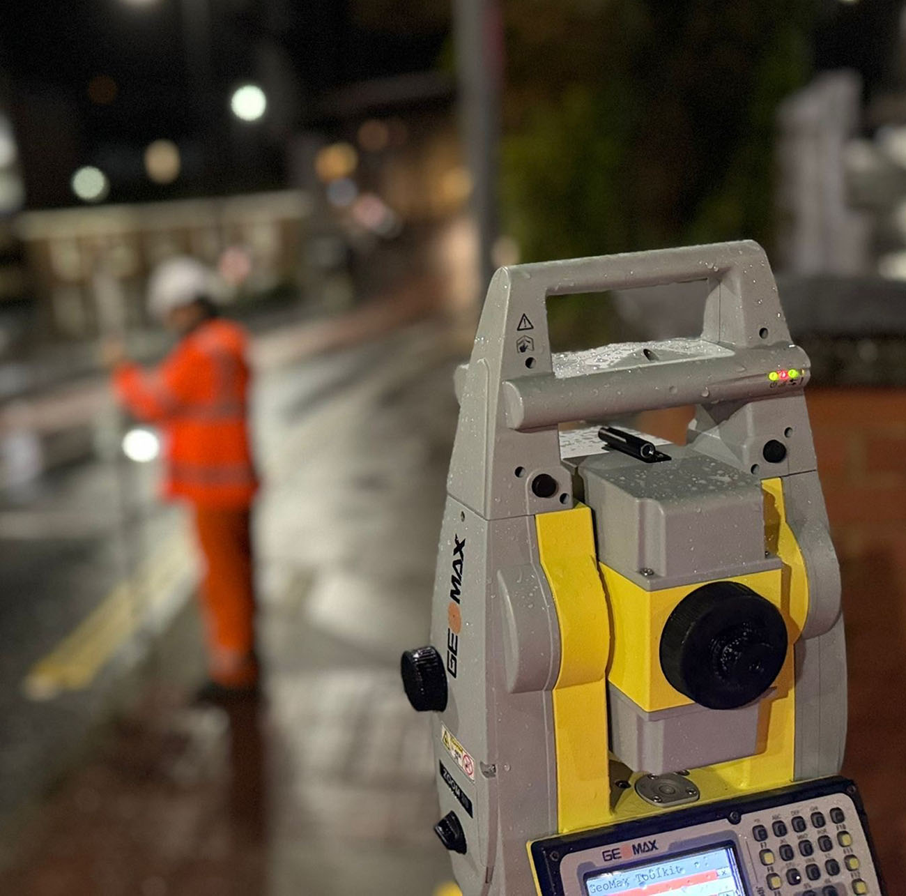
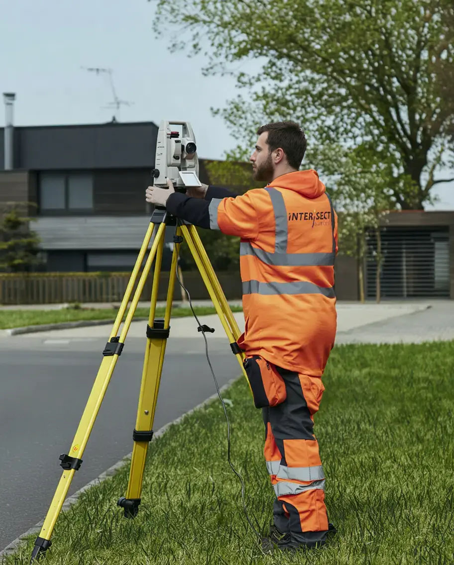
Topographical Surveys

Topographical Surveys provide detailed data for small & large-scale engineering projects, architectural design phases, & planning developments.

Topographical Surveys

9-topographical-survey
Topographic Survey

Captures terrain features with total station and GNSS.

19-3d-cad-survey-renders
3D Renders

Survey data delivered in accurate 2D or 3D formats.

18-construction-worker-surveys
Construction Surveys

Supports design, engineering, and planning processes.

20-architect-designs
Architect Designs

Essential data for architects and development teams.

At Intersect Surveys, we provide highly accurate topographical surveys that capture the full layout of your site, ensuring precise data. Using the latest survey technology, we deliver detailed site maps that showcase both natural and man-made features, helping you make informed decisions before construction or planning begins.

Robust survey practice combined with the latest technology allows Intersect Surveys to deliver highly accurate Topographical Surveys for small & large-scale engineering projects, architectural design phases, & planning developments.

As one of our core services, these surveys provide a comprehensive overview of the terrain’s characteristics. Topographical Surveys produced include both natural and man-made features.

surveyors using topographical survey equipment

How We Can Help You

We use integrated Leica Robotic Total Stations, GNSS and 3D laser scanning to efficiently capture survey data in two or three dimensions, with the output available in a range of industry formats to meet any requirement.
 
Topographical Survey maps aid in the planning & design process, and we can provide any level of detail, accurately surveyed, edited, & presented to suit your needs.
 

All our survey data can be delivered in a variety of industry standard 2D & 3D digital formats.

Talk to us today and we will provide you with an efficient & cost-effective solution to all your Topographical Survey requirements.

topographical survey equipment being used outside

Frequently Asked Questions


What is a topographical survey?

+ -

A topographical survey is a detailed mapping technique used to accurately represent the physical features and contours of a piece of land or site.

Do I need a topographical survey?

+ -

If your project involves any form of land development, construction, or engineering design, a topographical survey is highly recommended. These surveys provide crucial data about the existing terrain, features, and infrastructure of a site.

What are the benefits of a topographical survey at my project?

+ -
Topographical surveys offer several key benefits, so here are Intersect Surveys' top 5:
  1. Accurate Planning and Design
  2. Risk Reduction
  3. Cost Savings
  4. Regulatory Compliance
  5. Project Efficiency
content library CTA

A reliable and efficient company

”We've been working with Intersect for several years and have always found them to be reliable, efficient and good value for money. I can honestly recommend them."

testimonial-image

Peter F , Commercial Director

Excellent customer care

”The whole process was very smooth from start to finish, with excellent communication and customer care. We'll definitely be working with Intersect in the future."

testimonial-image

Henry P , Director

Efficient and knowledgeable

”The in-depth knowledge which Intersect Surveys have in their field is second to none. They're efficient, helpful and in my opinion, excellent value. "

testimonial-image

Robert M , Site Manager

What Our
Clients Say

Who We
Work With

News & Blogs

What Does 'Topographical' Mean? A Plain English Guide to Survey Terms)

Alex Shiels 2 Jun, 2025

Have you ever looked at a survey report and felt like you don’t understand?

How Can I Read a Survey Plan?

Alex Shiels 16 May, 2025

A Beginner’s Guide to Understanding Survey Drawings Have you ever looked at a survey plan and thought, “What does all...

The Role of Surveying in Site Planning

Alex Shiels 8 May, 2025

In our previous blogs, we've explored the process and timing of surveys, but in this post, we're diving into how...

Get in touch

Choose Intersect Surveys as your preferred provider. Simply fill out the form and an expert will be in touch to handle your enquiry. We always aim to get back to you within 24 hours.


Indicate the Area for Surveying

Show us the area you would like us to survey, by firstly adding the postcode to search, then click on the black circle icon and circle your area on the map.