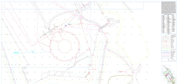
As-Built Surveys are integral to the design process, offering vital information for project managers and design teams to track positional accuracy and design tolerances across diverse projects.
As-Built Surveys

3D Renders
Captures and delivers real-world data in 3D formats.

Camera Scanning
High-definition scanning for accurate site documentation.

Report
Provides detailed, specification-aligned verification outputs.

Architect Designs
Supports design validation and coordination throughout.
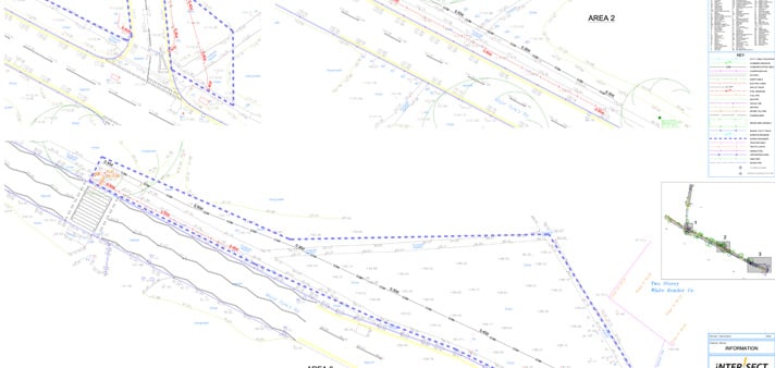
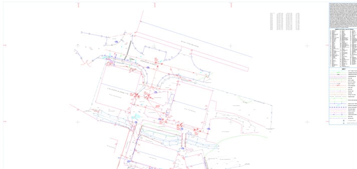
Accurate survey data enables the comparison of constructed elements against the intended design, ensuring adherence to specifications.
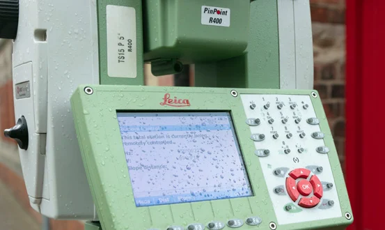
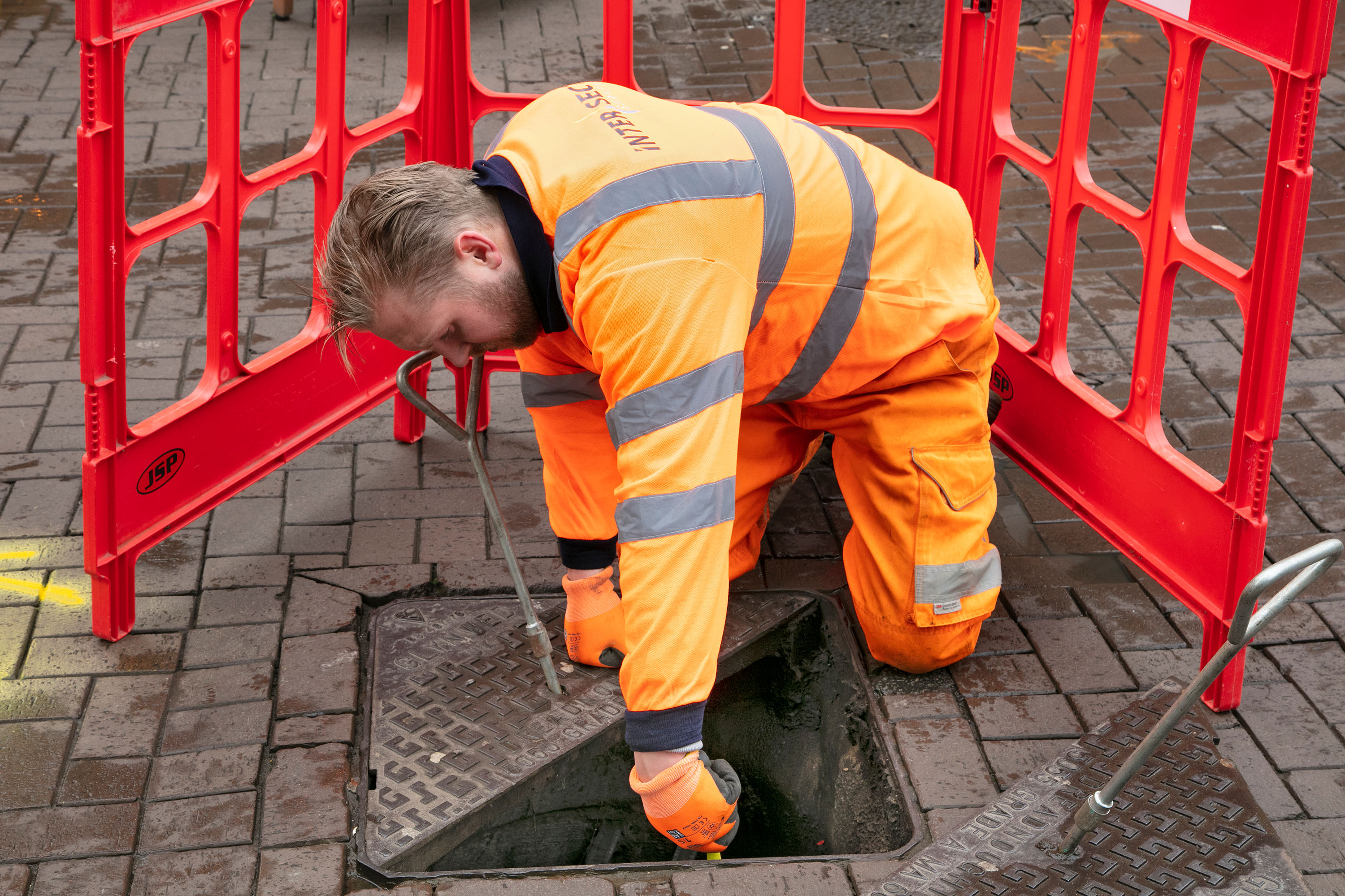
Intersect Surveys employs advanced technology including high-definition 3D laser scanning, robotic total stations, and handheld tablets to capture highly accurate data efficiently.
Accurate as-built surveys ensure that every element of a construction project adheres to its intended design, from structural components to underground utilities. These surveys are essential for quality assurance, regulatory compliance, and project efficiency.
How We Can Help You
We deliver survey data in a range of industry-standard 2D and 3D digital formats, ensuring seamless integration into design software workflows. This makes the data easily accessible to architects, engineers, and project managers, streamlining decision-making throughout the project’s lifecycle.
At Intersect Surveys, we are committed to delivering accurate, reliable, and cost-effective construction verification and as-built survey solutions. Get in touch with our team today to ensure your project is built to the highest standards with precise, real-world data.
Talk to us today and we will provide you with an efficient & cost-effective solution to all your survey requirements.

Recent Projects
Specialising in the management of risk associated with all of engineering tasks throughout a project.
A reliable and efficient company
”We've been working with Intersect for several years and have always found them to be reliable, efficient and good value for money. I can honestly recommend them."

Excellent customer care
”The whole process was very smooth from start to finish, with excellent communication and customer care. We'll definitely be working with Intersect in the future."
Efficient and knowledgeable
”The in-depth knowledge which Intersect Surveys have in their field is second to none. They're efficient, helpful and in my opinion, excellent value. "
What Our
Clients Say
Who We
Work With

News & Blogs

Monitoring in Real-Time: How Live Alerts Reduce Structural and Environmental Risk
On a busy construction site, things can change in an instant. A small shift in a retaining wall, a spike in dust...

Structural vs. Environmental Monitoring: What's the Difference and When Do You Need Both?
Why Environmental Monitoring Can’t Be Ignored As urban development grows more complex, project teams face rising...

Why Environmental Monitoring Is No Longer Optional for Construction Sites
Why Environmental Monitoring Can’t Be Ignored Construction sites today operate in a climate of increased...