Generic survey solutions often fall short when it comes to accuracy, failing to meet the unique needs of individual projects.
Without accurate data, your project can quickly become unsuccessful.
This blog explores a solution: customised topographical surveys.
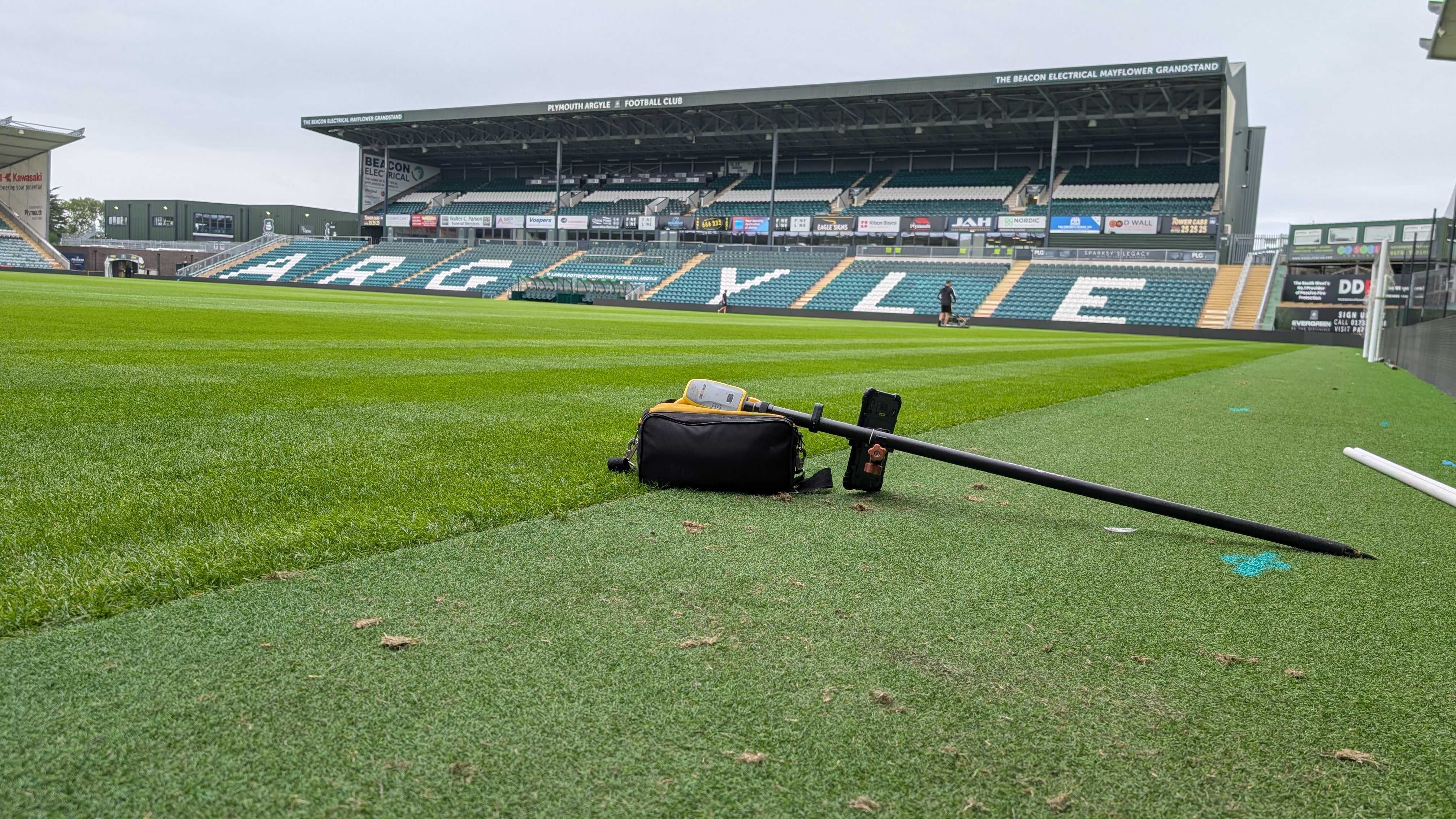
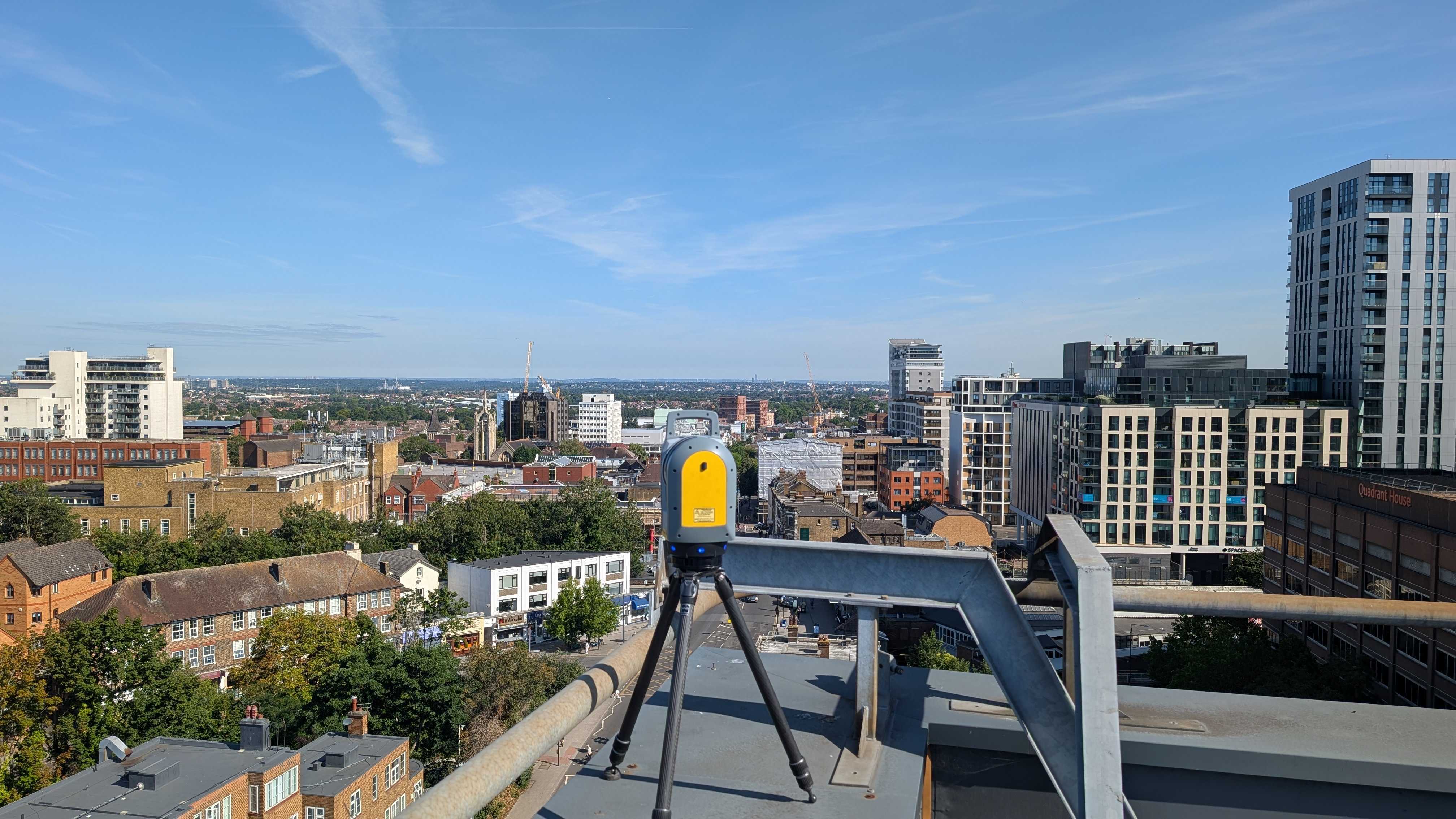
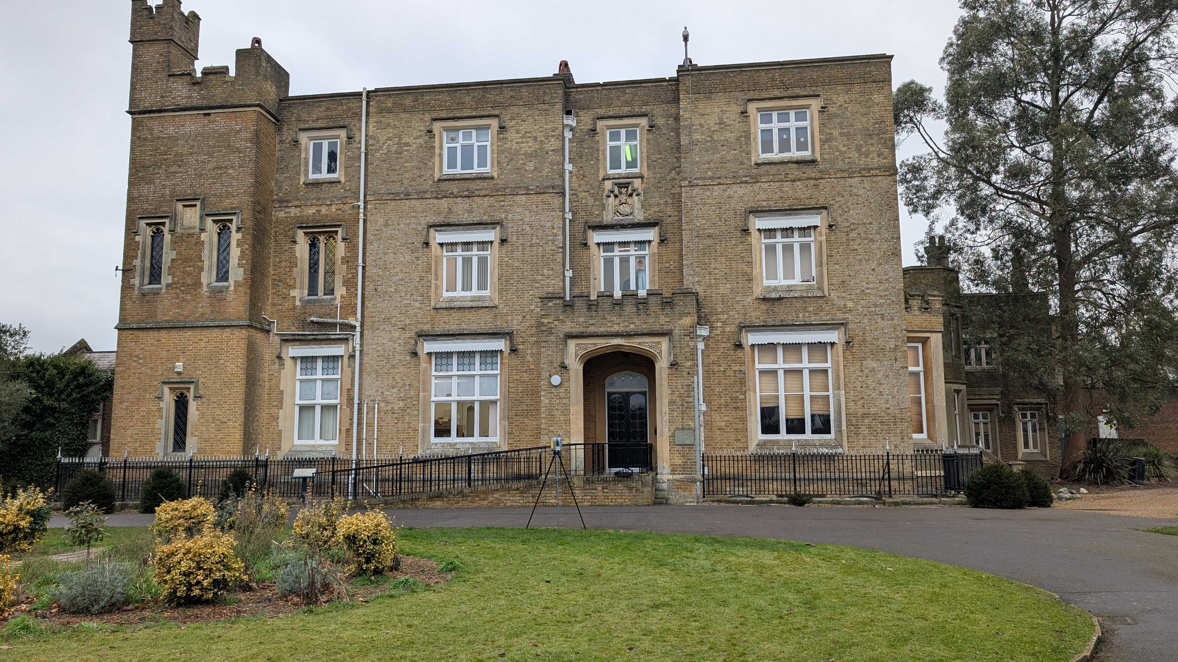
A topographical survey (also known as a topo survey) is undertaken using specialist measuring equipment such as Leica Robotic Total Stations, GNSS and 3D laser scanning to efficiently capture survey data in two or three dimensions.
With these instruments a land surveyor can measure the location of features on the land with precision.
Tailored to fit the specific requirements of each project, these surveys offer a distinct advantage in construction planning.
So, what are the surveys you might currently be turning to, missing out?
Understanding The Limitations Of Generic Surveys
Generic surveys, while convenient, often fail to capture the intricate details crucial for precise construction planning.
Let’s delve into the shortcomings of these one-size-fits-all approaches:
- Lack of Specificity
Generic surveys often provide generalised data that may not accurately reflect the unique features of a site.
This lack of specificity can lead to oversight of critical details essential for informed decision-making.
- Inefficiency in Addressing Complex Terrain:
Complex terrain poses challenges that generic surveys may not adequately address.
Steep slopes, irregular contours, or unusual geological features may be overlooked, potentially resulting in costly errors during construction.
- Limited Adaptability:
Generic surveys offer limited adaptability to the specific needs and challenges of individual projects.
They often follow standardised methodologies, making it difficult to tailor the survey approach to suit the intricacies of each site.
- Risk of Inaccuracies:
Without customisation, generic surveys run the risk of inaccuracies that can have significant repercussions.
Inaccurate data may lead to misinterpretations, miscalculations, and ultimately, delays or complications during the construction process.
By understanding the limitations inherent in generic surveys, we can appreciate the importance of customised topographical surveys tailored to the unique requirements of each project.
The Power Of Customisation In Topographical Surveys
Customisation lies at the heart of topographical surveys, offering precision and successful project outcomes.
Why risk using a survey that gives incorrect information?
Customised topographical surveys are crafted to precisely align with the specific requirements of each project. By focusing on the unique characteristics of the site, these surveys ensure accuracy and relevance in data collection and analysis.
Whether utilising advanced technologies like LiDAR or traditional surveying techniques, the approach is chosen strategically to yield the most accurate results.
Plus, customisation enables a detailed analysis of site features, including elevation changes, contours, and structural elements.
By providing precise, relevant data, customized surveys empower stakeholders to make informed decisions with confidence.
How We Tailor Topographical Surveys To Your Needs
At Intersect Surveys we understand that every project is unique, with its own set of challenges and requirements.
That's why we tailor our topographical surveys to meet your specific needs. Here's how we do it…
- Initial Consultation
We begin by conducting a thorough consultation to understand the intricacies of your project.
This allows us to gain insight into your objectives, constraints, and any specific considerations that need to be addressed.
- Customised Survey Design:
Based on the information gathered during the consultation, we design a survey approach that is customised to fit your project's requirements.
We carefully select the most appropriate surveying techniques, tools, and technologies to ensure accurate and comprehensive data collection.
- On-Site Expertise:
Our team of experienced surveyors brings a wealth of knowledge and expertise to the field.
With a keen eye for detail and a commitment to excellence, we execute the survey, paying close attention to every aspect of the site.
Generic survey solutions may fall short in meeting the unique needs of your project, but with customised topographical surveys from Intersect Surveys, you can gain a competitive edge.
Work with us and experience the power of topographical surveys. Contact us today to learn more!
FAQs
- What is a customised topographical survey?
A customised topographical survey is a surveying approach tailored to meet the specific needs and requirements of a particular project. It involves designing the survey methodology, data collection techniques, and analysis processes to address the unique characteristics of the site and project objectives.
- How does a customised topographical survey differ from a generic survey?
Unlike generic surveys that follow standardised approaches, customised topographical surveys are personalised to fit the exact requirements of each project. They offer precision and relevance by focusing on the specific features and challenges of the site, ensuring accurate data collection and analysis.
- What are the benefits of opting for a customised topographical survey?
Customised topographical surveys offer several advantages, including:
- Enhanced accuracy and precision tailored to the project's needs.
- Detailed analysis of site features, leading to informed decision-making.
- Flexibility to address complex terrain and project requirements.
- Streamlined project planning and execution, reducing the risk of errors and delays.
- How do you determine the scope of a customised topographical survey for my project?
We begin by conducting a thorough consultation to understand your project objectives, constraints, and specific requirements. Based on this information, we design a survey approach tailored to fit your needs, selecting the most appropriate surveying techniques and technologies to ensure comprehensive data collection.
- Can a customised topographical survey accommodate unique project challenges or constraints?
Yes, absolutely. One of the key advantages of customised topographical surveys is their flexibility to address unique project challenges and constraints. Whether it's complex terrain, tight timelines, or specific environmental considerations, our surveying approach is designed to adapt and overcome these obstacles, ensuring accurate and relevant data collection tailored to your project's needs.


