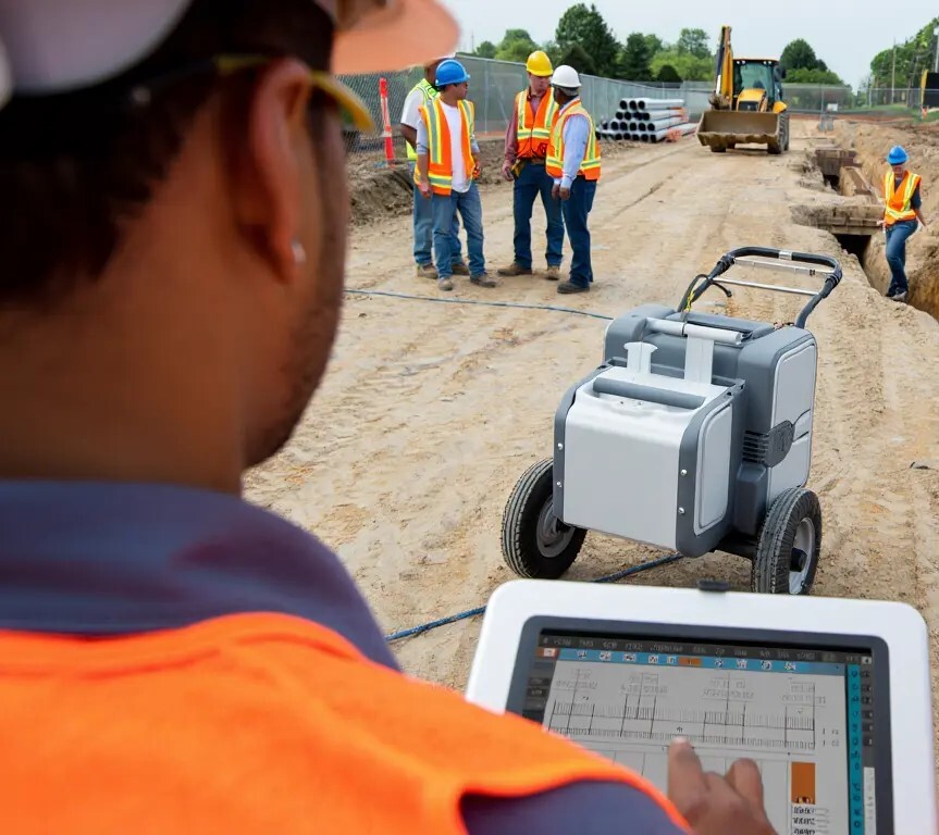
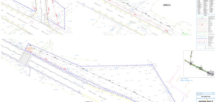
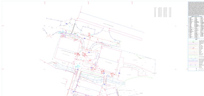
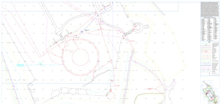
You might not see them, but underground utilities are everywhere, and ignoring them can be costly. One stray pipe or cable can halt your project, damage property, or even create safety hazards.
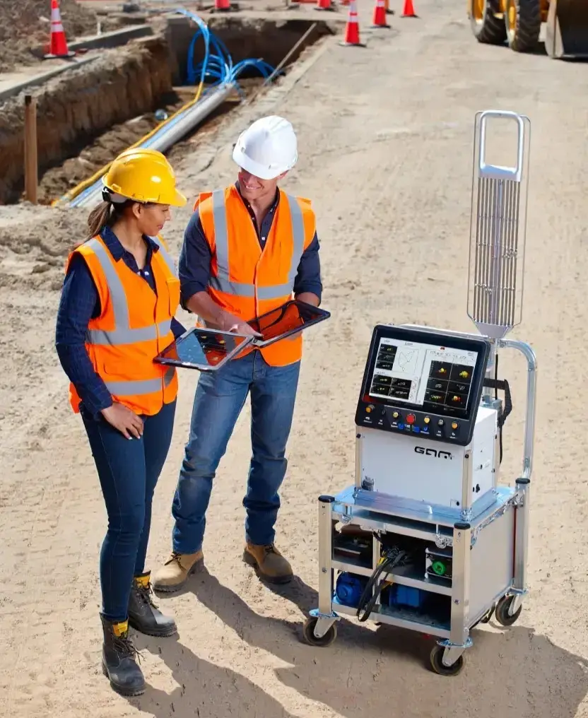
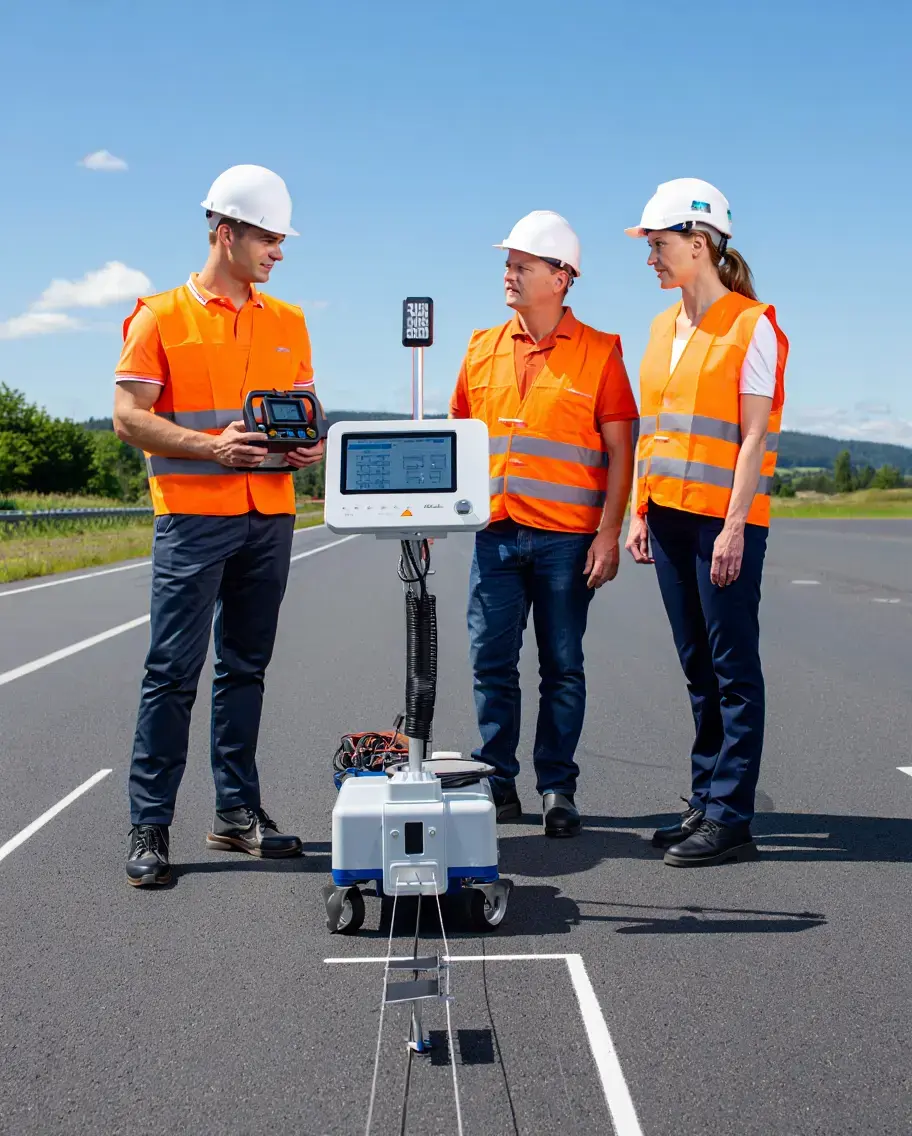
That’s why a professional Utility Survey is essential. At Intersect, we combine experience, advanced equipment, and technical know-how to give you data you can actually trust.
Our surveys are tailored for architects, civil engineers, contractors, and project managers across the UK, so you can move forward with confidence before a single spade hits the ground.