Ensure your project runs smoothly throughout its entire lifecycle with early detection of underground utilities.
Ground Penetrating Radar Surveys
GPR Surveys
Aside from buried services, Intersect Surveys Ltd understand that there are other underground features a client may require information about on-site.
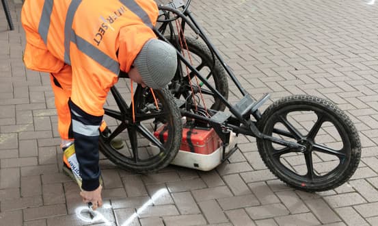
Using GPR surveys allows for a comprehensive coverage of a site and, as a standalone service, a GPR survey can be used to target these specific features.
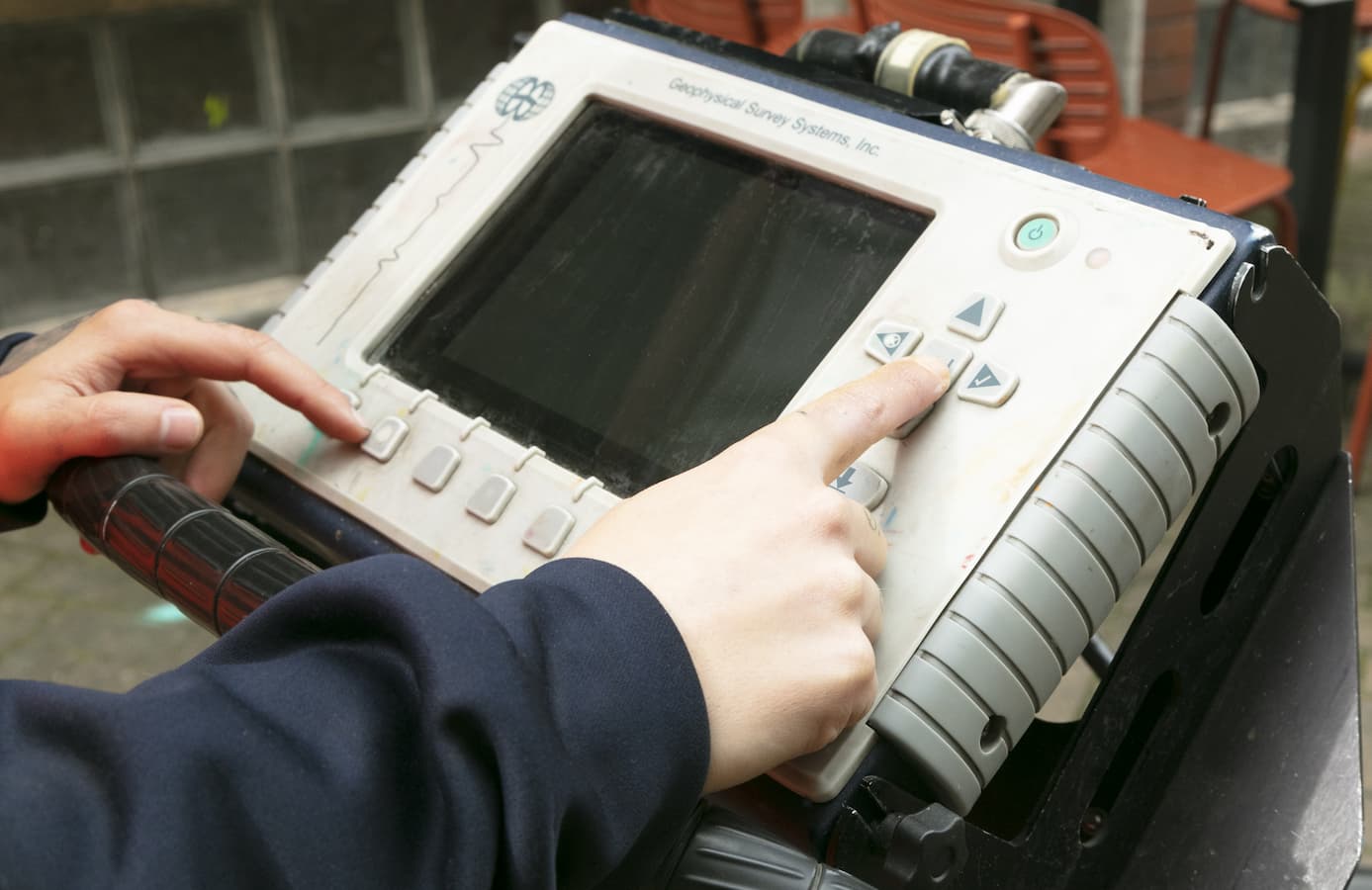
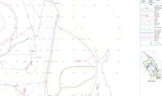
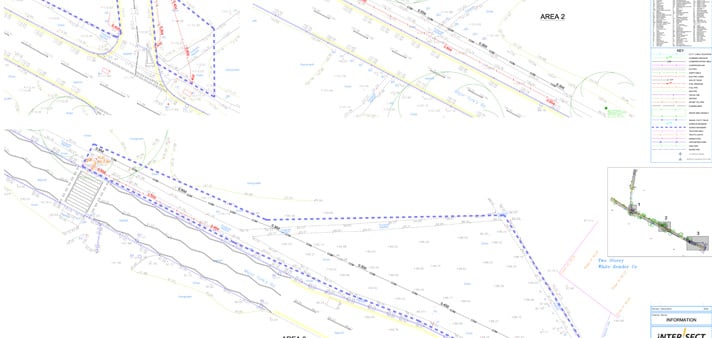
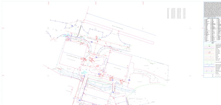
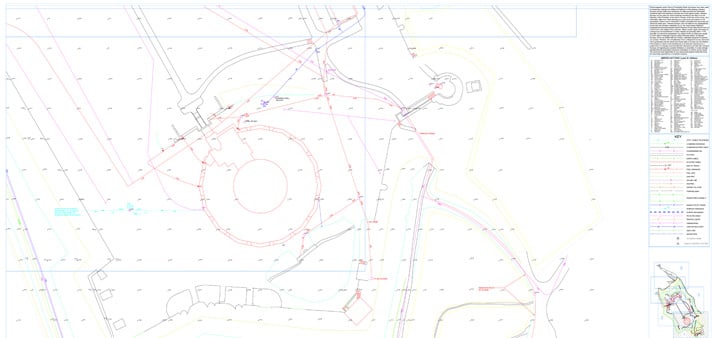
The method for this is to scan the entire site in a grid pattern, record the images, and then post-process the information using specialist software. A full report or an annotated site plan will then be drawn up to the client’s specification detailing the findings on the target features.
Uses of a GPR Survey
GPR Surveys can be used to investigate an array of buried features, including, but not limited to:
- Voids
- Buried structures
- Underground fuel/utility tanks
- Non-metallic utilities (plastic/fibre optic services)
- Pile cap
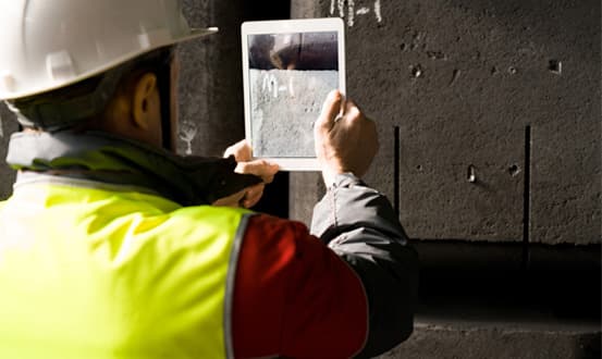
Concrete Scanning
Scanning of concrete structures includes:
- Mapping of reinforcing bars
- Determining concrete slab thickness
- Locating and mapping of conduits and pipework
- Detection of voids and other structural anomalies
GPR is completely non-intrusive/destructive and will usually only require access to one side of the structure being investigated.
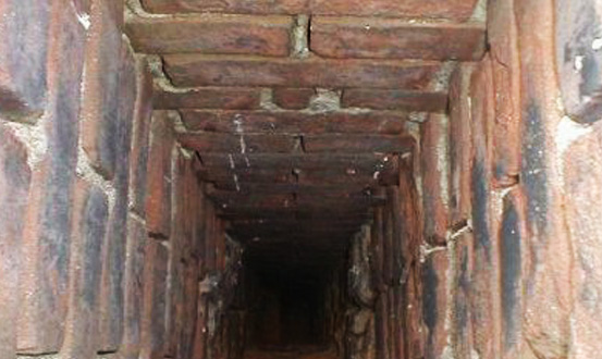
Chimney Flue Location
GPR scans can be used to locate and map out the positions of chimney flues. This is achievable without the need for destructive or intrusive work, causing minimal disruption to the everyday workings of the structure.
The positions of the flues can be marked out on-site, or they can be presented in CAD format.
Utility Surveys
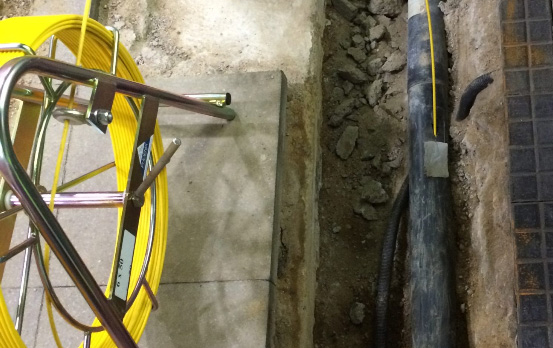
Providing a complete picture of the utilities beneath a given area without the need to manually excavate the area, a utility survey is a must.
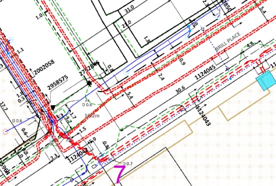
Intersect Surveys Ltd can locate and map out the utilities using electromagnetic detection and ground penetrating radar to provide a location and depth to each individual service within an area, providing cross sectional information and photos for key areas.
This information can be simply marked up on site or produced as a scale drawing in 2D or 3D format.
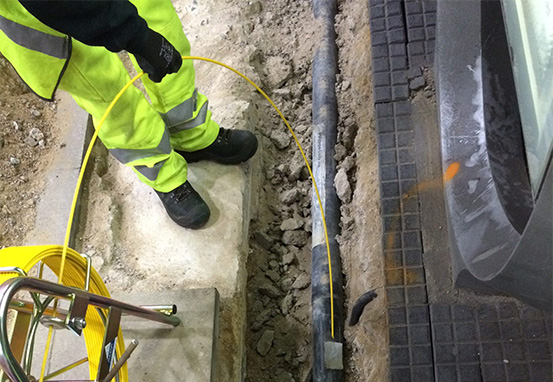
Electromagnetic Detection
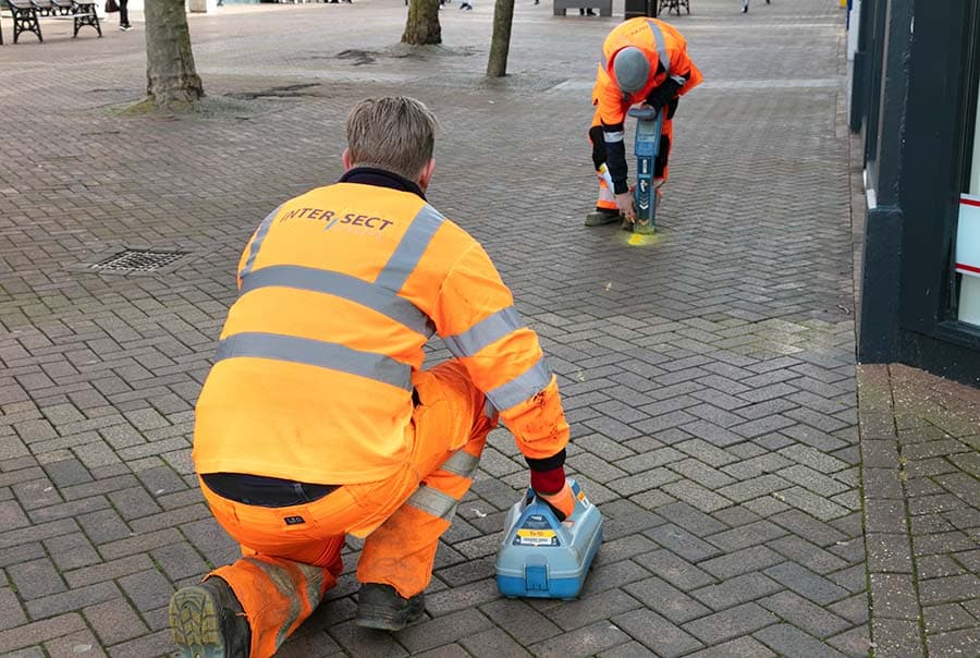
With electromagnetic detection methods, a known frequency is induced onto a metallic service, which can then be located from above ground along with the depth of the service. Where inspection chambers are accessed, probes can be inserted into ducting and drainage pipes in order to provide the most concise picture of what is under the ground.
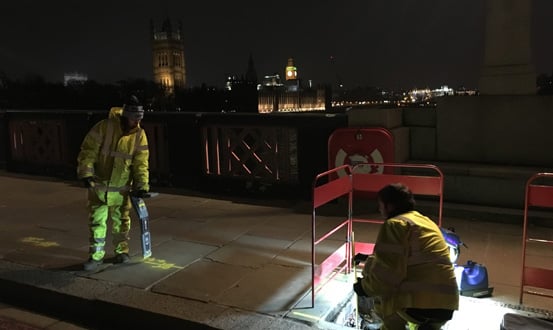
Radar in Utility Surveys
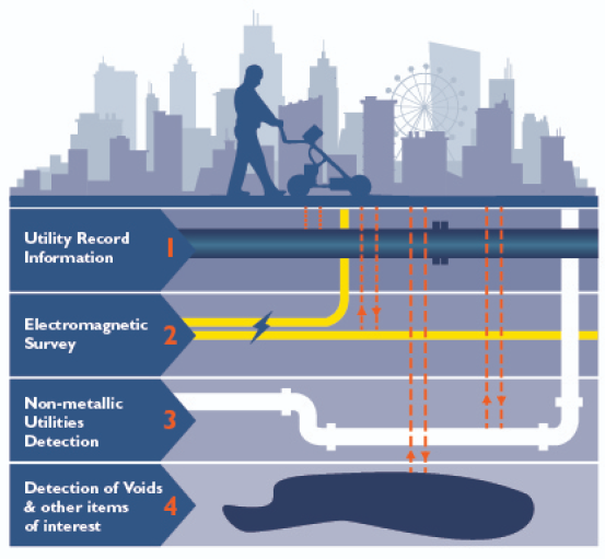
With the increased presence of plastic and fibre optic underground services, and with many gas and water authorities replacing existing metal pipework with newer plastic infrastructure, there is an ever-growing need for radar, along with electromagnetic detection.
Radar provides a picture of everything under the ground, including the metallic services, and the interpretation of this data by our experienced surveyors on site is how we complete the picture and provide the most comprehensive utility survey.
Desktop Utility Record Search
Prior to carrying out a GPR survey, we always recommend carrying out a desktop utility record search to obtain the statutory record information for the site, particularly if there is a possibility of public utilities passing through the site boundary.
These drawings can help to identify any buried services located during the survey that are not able to be accessed or identified on site. Also, in the case of buried services that cannot be located, the record information can then be used to fill in the blanks and help provide the best all round result.
When you commission us to carry out a desktop utility record search, we will contact all of the utility providers that operate within the given area. We will provide you with a clear indication of any buried services shown that could have an effect on your area of interest. To give you better peace of mind, we will also provide you with information on any utility providers that we have contacted who do not show any buried services in the area.
The search results will be sent to you digitally, along with a full report of the results in PDF format.
Our search will cover all utility providers within the given area, including but not limited to:
- HV & LV Electricity
- Water Mains
- Gas Mains
- Fould Water & Surface Water Drainage
- Telecoms Cables
- Other Communication Cables/Fibre Optic Cables
CCTV Drainage Survey
A CCTV Drainage Survey documents the condition of all accessible drainage runs within a given site area.
When you commission us to carry out a CCTV Drainage Survey of your site, we lift all manhole covers on site and record the pipe/chamber information and depth. We then insert a camera unit which we push along the pipe and record the footage for our report.
This camera unit also enables us to trace the route of the drainage run using a built-in ‘sonde’, which gives us a position and depth at any given point along the drainage route when coupled with our RD8000 cable locator.
Recent Projects
Specialising in the management of risk associated with all of engineering tasks throughout a project.
A reliable and efficient company
”We've been working with Intersect for several years and have always found them to be reliable, efficient and good value for money. I can honestly recommend them."

Excellent customer care
”The whole process was very smooth from start to finish, with excellent communication and customer care. We'll definitely be working with Intersect in the future."
Efficient and knowledgeable
”The in-depth knowledge which Intersect Surveys have in their field is second to none. They're efficient, helpful and in my opinion, excellent value. "
What Our
Clients Say
Who We
Work With

News & Blogs

Monitoring in Real-Time: How Live Alerts Reduce Structural and Environmental Risk
On a busy construction site, things can change in an instant. A small shift in a retaining wall, a spike in dust...

Structural vs. Environmental Monitoring: What's the Difference and When Do You Need Both?
Why Environmental Monitoring Can’t Be Ignored As urban development grows more complex, project teams face rising...

Why Environmental Monitoring Is No Longer Optional for Construction Sites
Why Environmental Monitoring Can’t Be Ignored Construction sites today operate in a climate of increased...