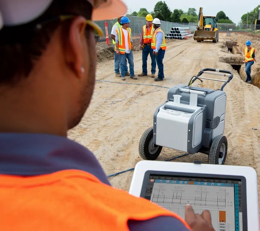
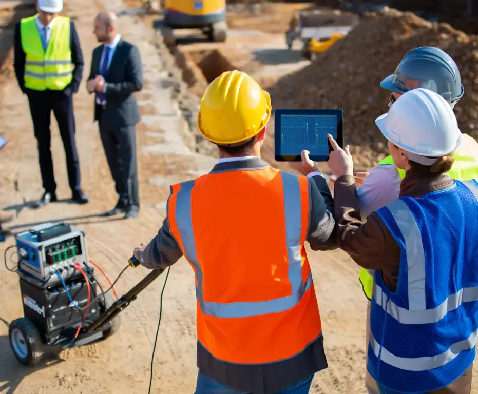
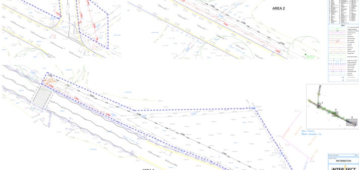
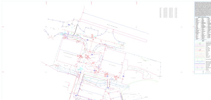
Roadway and Pavement Radar Surveys
Highways and pavements need to carry weight day after day. But weak construction layers or hidden moisture can cause failures. Our roadway GPR surveys map layer thickness, detect soft spots, and flag potential trouble areas. That gives highway engineers what they need to plan targeted repairs, saving money and keeping roads open longer.
Railway Infrastructure GPR Surveys
Rail corridors are under constant stress. Our railway GPR surveys assess ballast fouling, trackbed voids, and subgrade variation. This helps operators prioritise maintenance and avoid downtime. The data means longer track life and fewer unexpected service disruptions.
Archaeological and Heritage Radar Scanning
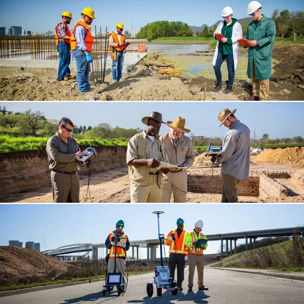
On heritage sites, you can’t just dig and hope for the best. Our archaeological GPR surveys allow teams to map buried walls, floors, and artefacts without breaking ground. It keeps projects on schedule while protecting what’s historically valuable. Archaeologists use our scans to guide careful excavation, preserving history for future study.
Environmental and Geological Ground Investigations
From groundwater tables to contaminated soil, environmental issues run deep. Our geophysical surveys use radar penetration to map conditions without disturbing the site. The results support remediation work, compliance checks, and long-term environmental planning.