Have you ever looked at a survey report and felt like you don’t understand?
You’re not alone.
Terms like “topographical,” “datum,” and “contour lines” can leave property owners, developers, and first-time clients scratching their heads. But these words aren’t just technical jargon—they describe essential details that shape how land is used, developed, and built upon.
In this blog, we’re focusing on one of the most common terms you’ll hear in surveying: “topographical.” We’ll explain what it means, why it matters, and break down other commonly used survey language.
Whether you’re reviewing a site plan, planning a build, or just want to feel more confident when talking to your surveyor, this guide will give you the clarity you need.
Why Surveying Has Its Own Language
Surveying isn’t just about measuring land—it’s about communicating complex, technical information in a clear and consistent way.
Over time, the industry has developed its own specialised language to ensure accuracy and avoid misinterpretation when working across multiple professions, from architects and engineers to planning officials and builders.
These terms help surveyors describe land features, elevations, boundaries, and structures in a standardised way that others in the construction and development process can rely on. While that’s great for professionals, it can be confusing for clients who are new to the process.
Understanding a few key terms—especially ones like topographical, which comes up frequently—can make it much easier to follow reports, interpret site plans, and ask informed questions.
What Does “Topographical” Mean in Surveying?
In surveying, the term topographical refers to the detailed mapping and recording of the natural and man-made features on a parcel of land. A topographical survey (often called a topo survey) captures not just the layout of the land, but also its shape, contours, and elevation—essentially, how the land looks and behaves in three dimensions.
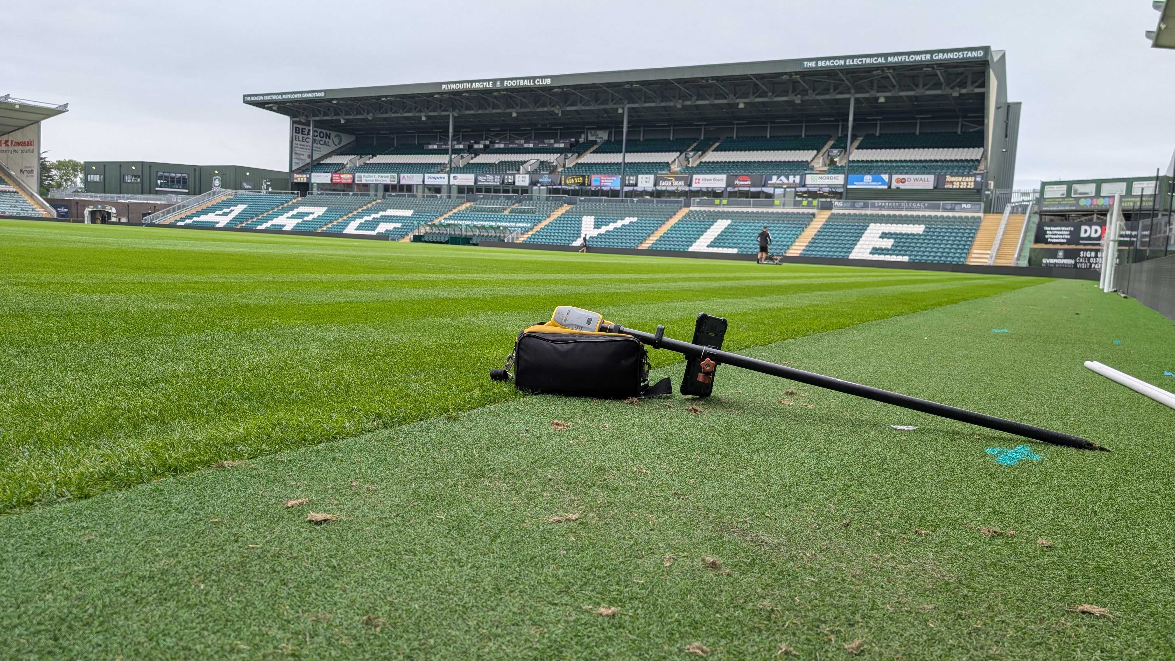
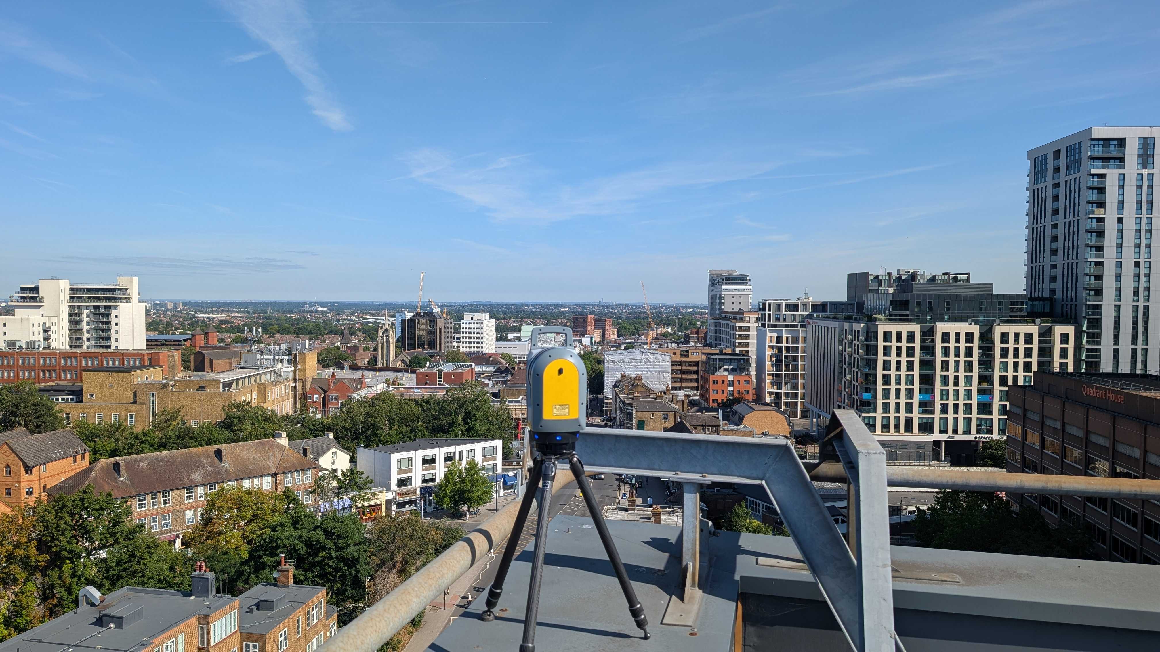
This includes features such as hills, valleys, trees, fences, buildings, paths, roads, and drainage systems. Surveyors use specialised equipment like GPS, total stations, and drones to collect data points that are then turned into a topographic map or digital model.
It’s the combination of natural form and existing structures that make your site unique. And understanding that is critical for everything from drainage planning to construction design.
Common Survey Terms Decoded
Surveying comes with its own set of technical jargon, but understanding a few key terms can go a long way in making sense of survey reports and plans. Here’s a breakdown of some common terms you might encounter:
Benchmark: A fixed reference point with a known position and elevation, used to ensure accuracy in surveys. Think of it as a reliable starting point for all measurements.
Datum: A standard reference surface, like sea level, used to measure elevations. It helps ensure consistency across different surveys and locations.
Contour Lines: These wavy lines on a map show elevation and land shape. The closer they are, the steeper the land. Farther apart means flatter ground.
Easement: A legal right allowing someone to use part of your land for a specific purpose, such as utility access or drainage.
Boundary Line: The defined legal edge of a property. This is crucial for ownership, development, and avoiding disputes with neighbours.
Spot Levels: Individual elevation points marked on a topographic plan. These help planners understand high and low points on a site.
GPR (Ground Penetrating Radar): A technology used in surveys to detect what’s underground, such as pipes, voids, or buried structures.
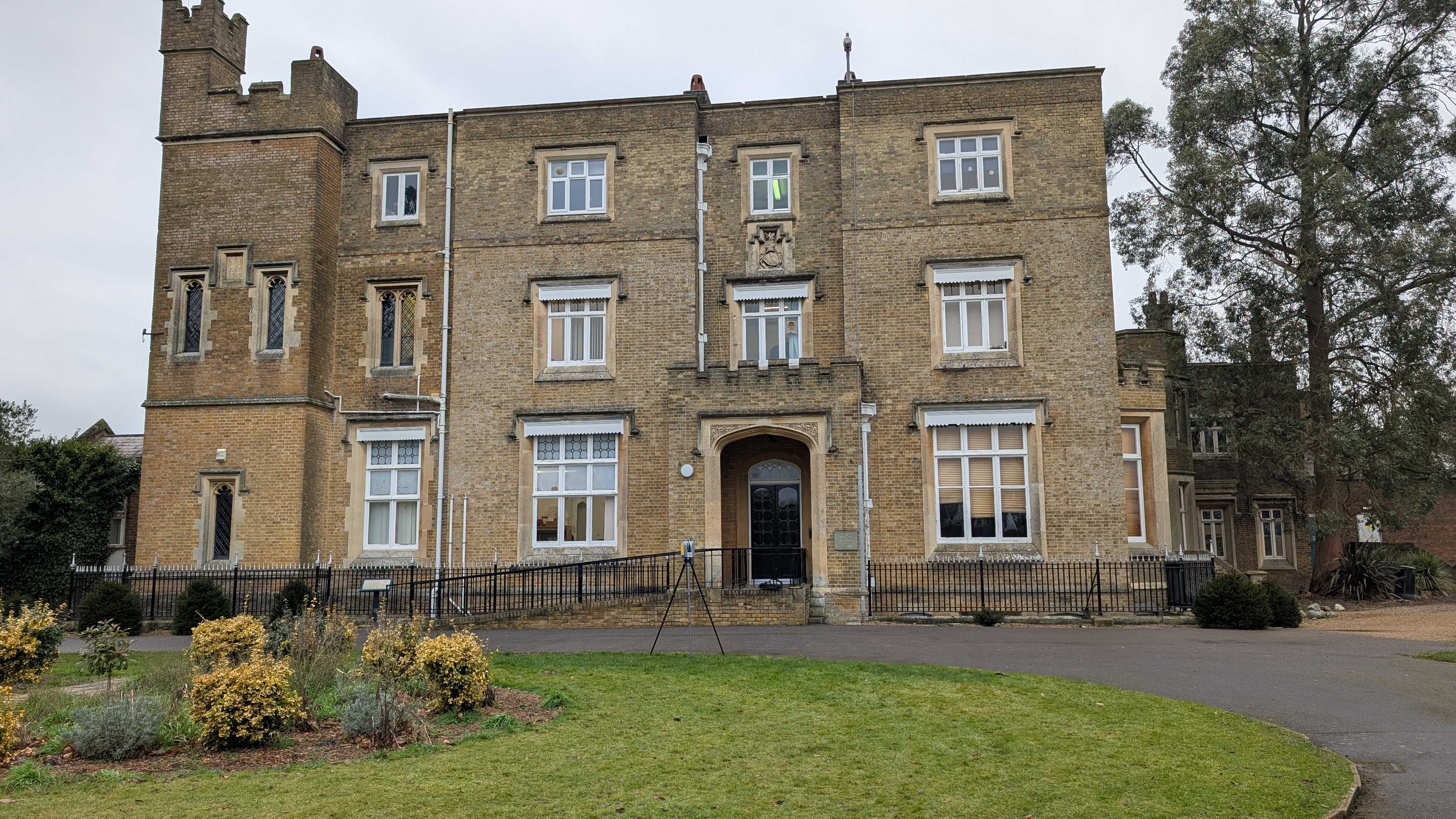
Measured Building Survey: A highly detailed internal and external survey of a building, showing dimensions, fixtures, and layout. Often used in renovations or extensions.
How Understanding These Terms Helps You
You don’t need to be a surveyor to benefit from understanding basic survey terminology. Knowing what terms like topographical, benchmark, or easement mean gives you a clearer picture of what’s happening on your site—and why it matters.
When you understand survey terms:
✅ You can read survey reports and drawings with confidence, avoiding confusion or misinterpretation that could delay your project.
✅ You’ll communicate more effectively with professionals, from architects to contractors, helping decisions get made faster and more accurately.
✅ You can spot potential issues early, such as boundary conflicts or ground level challenges, before they become costly mistakes.
✅ You’ll feel more in control of your development, renovation, or property purchase—because you’ll know what’s being measured, marked, or planned.
In short, a little knowledge goes a long way. Whether you’re managing a construction site or simply curious about markings in your garden, understanding survey language helps you stay informed, avoid pitfalls, and make better choices for your project.
Get In Touch
Surveying might seem like a field reserved for technical experts, but understanding basic terms—like "topographical"—can make a big difference when you're planning a project, reviewing a site report, or simply trying to make sense of what's happening on your property.
By learning a few key concepts, you’ll be better equipped to ask the right questions, avoid miscommunication, and stay one step ahead during your project.
Whether you’re a homeowner, developer, or just curious about your land, clarity starts with the right information. If you’ve come across a term you don’t understand or need help interpreting a survey report, Intersect Surveys is here to help.
Need help decoding your survey documents or planning your next project? Get in touch with us today for straightforward, expert advice.


