Are you looking to survey your land to stop unwelcomed surprises during your project?
A topographical survey is your answer.
In this blog, we're diving into topographical surveys and looking into the equipment that makes this possible: integrated Leica Robotic Total Stations, GNSS, and 3D laser scanning.
Let’s start with a look into why this technology benefits you.
The Need For Advanced Technology in Surveying
When it comes to construction projects, the demand for precision and efficiency has never been higher.
Traditional surveying methods, while reliable, often fall short in meeting the evolving needs of modern projects.
Here, we explore why advanced technology is essential in reshaping the surveying landscape:
Rising Complexity of Projects:
Construction projects today are becoming increasingly complex, with intricate designs and challenging terrain.
Traditional surveying methods may struggle to accurately capture the nuances of these projects, leading to potential errors and setbacks.
Demand for Higher Accuracy:
In an era where every millimetre counts, there is a growing demand for higher levels of accuracy in surveying daa.
Advanced technology offers the precision needed to meet these stringent requirements, ensuring reliable and trustworthy data for decision-making.
Time and Cost Pressures:
Time and cost pressures are ever-present in the construction industry, driving the need for more efficient surveying solutions.
Advanced technology streamlines the surveying process, reducing time spent on data collection and processing, ultimately saving both time and money.
Accessibility to Challenging Areas:
Many construction sites present challenges in accessibility, such as hazardous terrain or restricted areas.
Integrated Leica Robotic Total Stations, GNSS, and 3D laser scanning, offer the flexibility to access and survey these areas safely and efficiently.
Let’s dive into these solutions a little more.
The Solution: Advanced Technology For Superior Results
Innovation in the field of surveying has revolutionised the way topographical surveys are conducted. At Intersect Surveys, we use advanced technology to deliver superior results that meet the latest industry standards.
Here's how our integrated approach with Leica Robotic Total Stations, GNSS, and 3D laser scanning provides the solution.
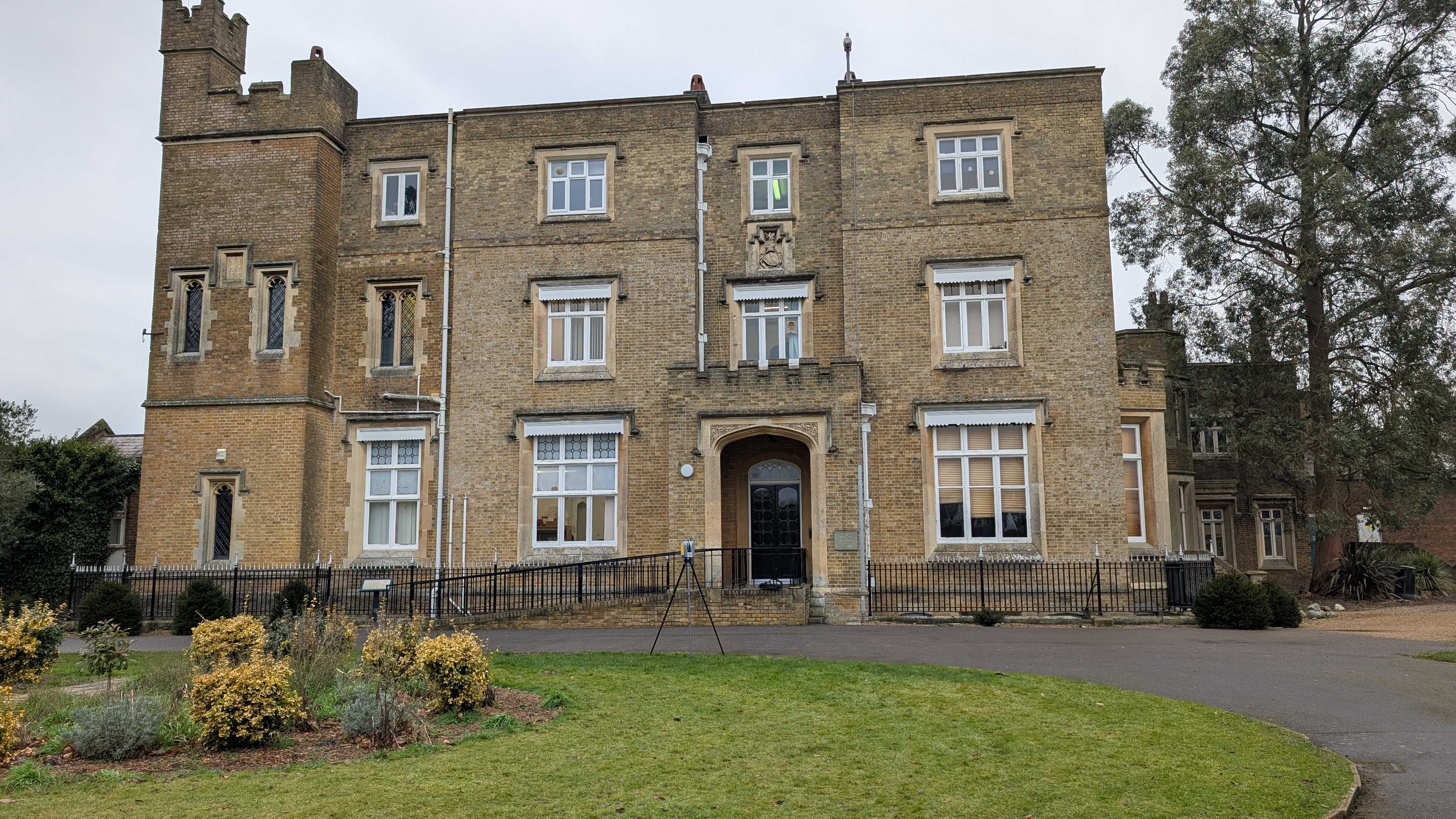
- Integrated Leica Robotic Total Stations
Our Leica Robotic Total Stations are equipped with cutting-edge automation features, allowing for precise measurements and data collection.
These robotic instruments streamline the surveying process, reducing manual errors and enhancing overall efficiency.
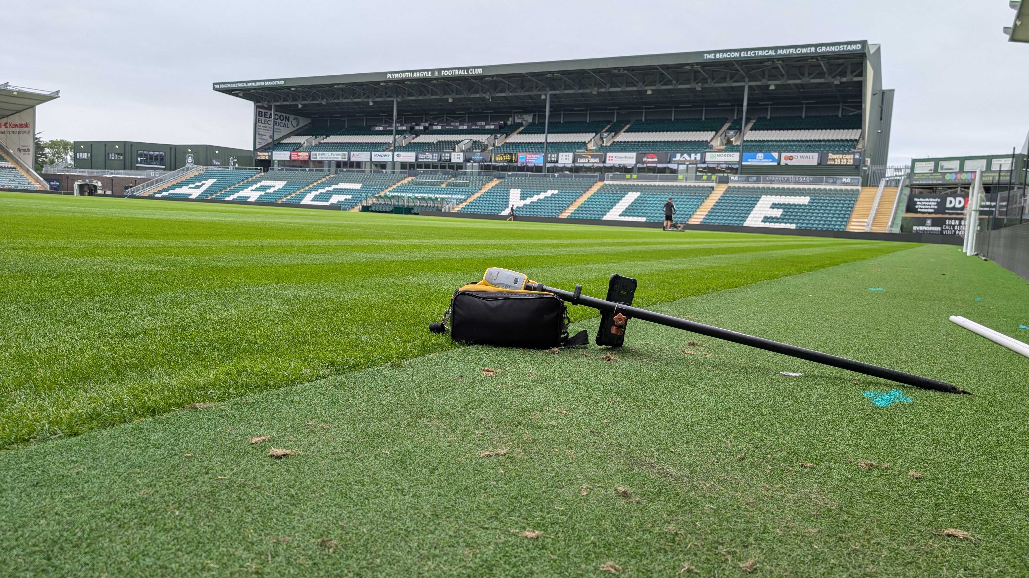
- GNSS (Global Navigation Satellite Systems)
GNSS technology provides real-time positioning data, ensuring accuracy and reliability even in challenging environments.
By leveraging GNSS receivers, we achieve precise location information, enabling us to map the terrain with exceptional detail.
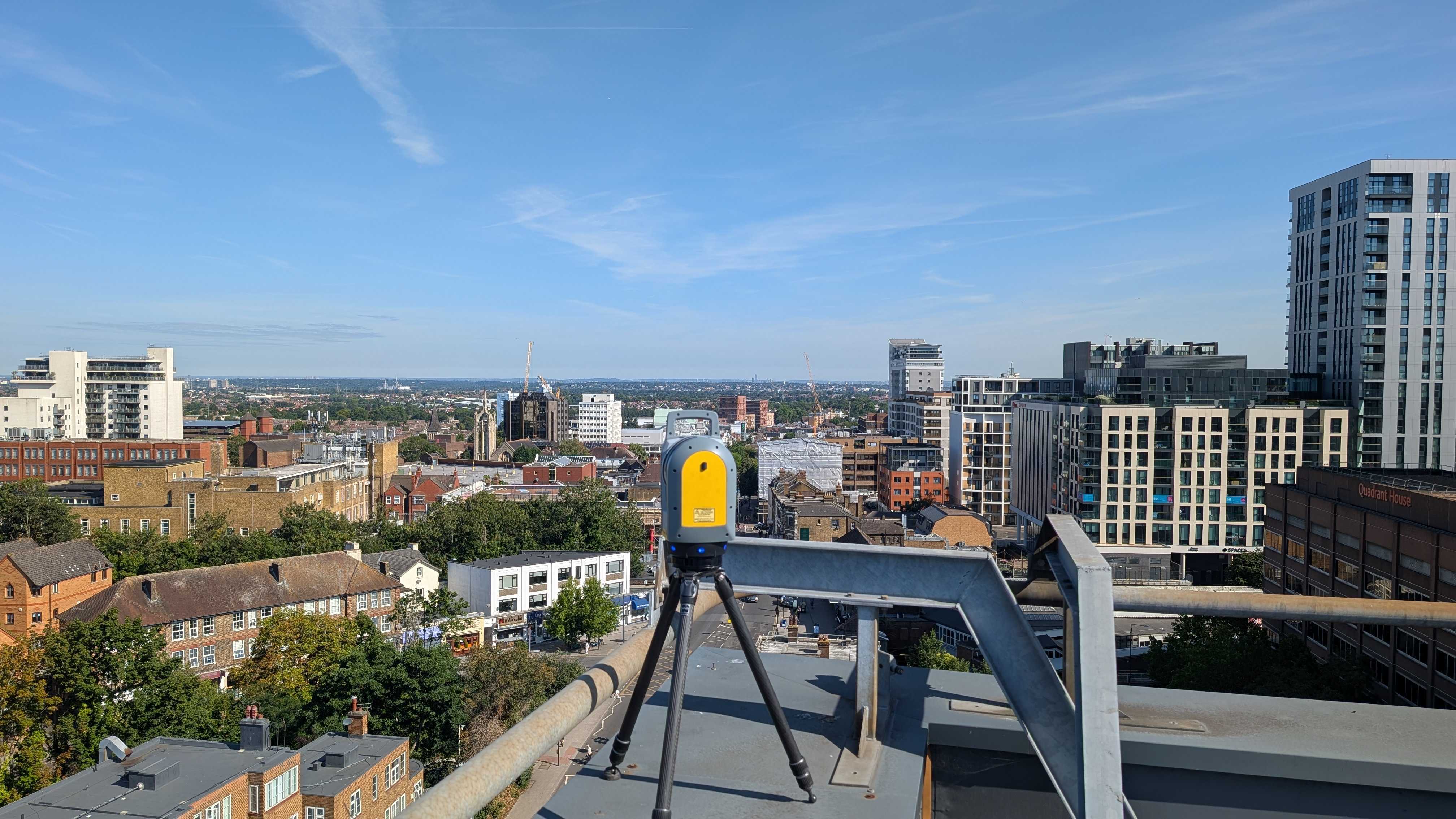
- 3D Laser Scanning
Our 3D laser scanning technology captures detailed, high-resolution point cloud data of the surveyed area.
This non-contact scanning method offers unparalleled accuracy and completeness, providing comprehensive data for analysis and visualisation.
Superior Results And Efficiency
The integration of technology in topographical surveys isn't just about innovation; it's about delivering tangible benefits that translate into superior results and efficiency.
Here's how our integrated approach with Leica Robotic Total Stations, GNSS, and 3D laser scanning achieves this, and combats the pain points that surveyors have on a regular basic.
Unprecedented Precision
The combination of Leica Robotic Total Stations and GNSS technology ensures unparalleled precision in measurements and positioning.
With accuracy levels reaching centimetre-scale, our surveys provide detailed and reliable data that forms the foundation for informed decision-making.
Comprehensive Data Capture
3D laser scanning captures millions of data points per second, resulting in highly detailed point cloud representations of the surveyed area.
This comprehensive data capture allows for thorough analysis and visualisation of the terrain, revealing intricate features and nuances that may be overlooked with traditional methods.
Streamlined Workflows and Project Efficiency
The automation capabilities of Leica Robotic Total Stations streamline the surveying process, reducing manual labour and minimising the potential for errors.
Integrated GNSS technology enables real-time positioning, optimising fieldwork efficiency and allowing for rapid data collection across large areas.
This increased efficiency translates into shorter project timelines, reduced costs, and improved overall project management.
Topographical Surveys With Intersect Surveys
At Intersect Surveys, we're committed to bettering the surveying industry by harnessing the power of advanced technology to deliver unparalleled precision, efficiency, and reliability in topographical surveys.
Our integrated approach with Leica Robotic Total Stations, GNSS, and 3D laser scanning sets us apart, ensuring that every project benefits from the latest innovations and cutting-edge tools.
Experience the difference with Intersect Surveys and unlock the full potential of your projects. Whether you're embarking on a new construction project, conducting environmental assessments, or planning infrastructure developments, trust Intersect Surveys to provide the advanced surveying solutions you need to succeed.
Contact us today to learn more!
FAQS
2. How does Intersect Surveys achieve superior precision in topographical surveys?
Intersect Surveys utilises advanced technology, including integrated Leica Robotic Total Stations, GNSS, and 3D laser scanning, to achieve unparalleled precision in topographical surveys. These cutting-edge tools ensure accurate data collection and comprehensive analysis, leading to superior results.3. What are the benefits of using advanced technology like Leica Robotic Total Stations and GNSS in topographical surveys?
The use of advanced technology offers several benefits, including increased accuracy, streamlined workflows, enhanced efficiency, and informed decision-making. Leica Robotic Total Stations and GNSS enable real-time positioning and precise measurements, optimising the surveying process.4. How does 3D laser scanning contribute to the accuracy and detail of topographical surveys?
3D laser scanning captures millions of data points per second, creating highly detailed point cloud representations of the surveyed area. This comprehensive data capture ensures accuracy and detail, providing valuable insights for analysis, visualisation, and design optimisation.5. Can Intersect Surveys customise topographical surveys to meet specific project requirements?
Yes, absolutely. Intersect Surveys offers customised topographical surveys tailored to fit the specific needs and challenges of each project. Our experienced team works closely with clients to understand their objectives and constraints, designing survey approaches that align with their requirements and deliver superior results.
