Imagine buying a home and starting a construction project, only to be forced to halt because you unknowingly built on protected land. These kinds of surprises can be costly, frustrating, and time-consuming—but they can be avoided with a professional land survey.
Many property owners assume they know exactly where their land begins and ends, but without a precise survey, boundaries and features may not be as clear as they seem. Whether you're purchasing property, planning renovations, or starting a business expansion, a survey ensures you have the accurate data needed to move forward with confidence.
In this blog, we’ll break down what a land survey is, the different types available, and why having one is essential for avoiding disputes, staying compliant with regulations, and making informed property decisions.
If you're a homeowner, first-time buyer, or small business owner navigating property matters for the first time, this guide will help you understand why a survey is a step you shouldn’t skip.
What Is A Land Survey?
A land survey is a precise measurement and mapping of a property’s boundaries, features, and legal details. It provides an accurate picture of the land, showing where property lines begin and end, the location of structures, and any easements or restrictions that may apply.
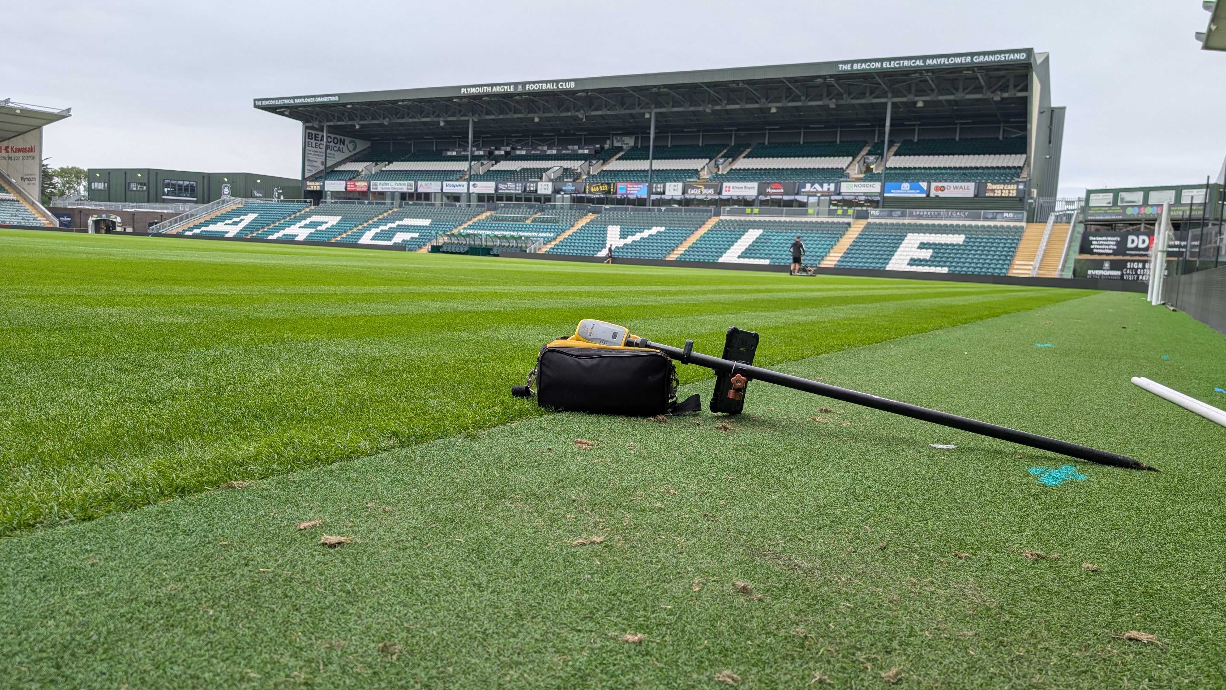
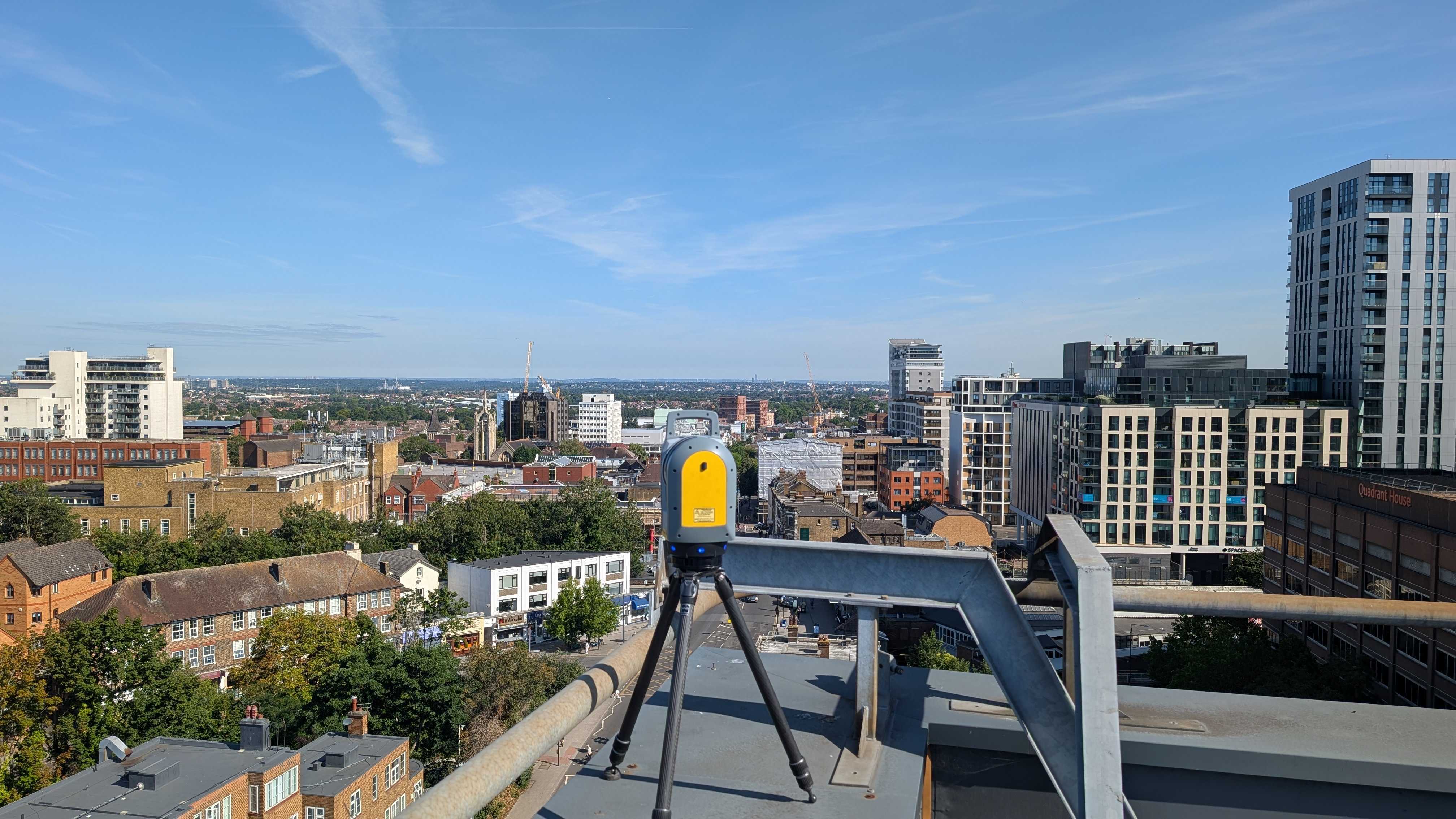
Surveying combines advanced tools like GPS, laser scanning, and total stations with legal research to create a clear and reliable representation of a property. Professional surveyors, such as us at Intersect Surveys, gather data from historical records, previous surveys, and physical measurements taken on-site to ensure the results are as precise as possible.
Types of Surveys and What They Cover
Not all land surveys are the same—different types serve different purposes depending on the project. Whether you’re buying property, planning construction, or ensuring compliance with regulations, choosing the right survey is key.
- Topographic Surveys
Topographic surveys map the elevation and natural or man-made features of a property, including hills, trees, buildings, and drainage systems.
- Construction Surveys
Before construction begins, a construction survey ensures that buildings, roads, and utilities are placed correctly according to approved site plans.
- Utility Surveys
Utility surveys locate underground utilities such as water, gas, electrical, and telecommunications lines.
- Site Planning Surveys
For projects that require planning permission or regulatory approval, site planning surveys provide detailed land data, including property boundaries, topography, and existing structures.
Why Do You Need a Survey?
Many property owners assume they know where their land begins and ends, but without a professional survey, these assumptions can lead to costly mistakes. A land survey is more than just a technical measurement—it’s a crucial tool for protecting your investment, ensuring compliance, and avoiding disputes.
Here are 5 key reasons to get a survey done:
- Avoid Boundary Disputes
- Ensure Compliance with Regulations
- Support Construction and Development
- Protect Your Investment
- Uncover Hidden Issues Before They Become Problems
A professional survey is one of the best ways to protect your property and ensure smooth project planning. Without one, you’re left to rely on outdated records, assumptions, or even verbal agreements—all of which can lead to disputes, delays, or financial losses.
How to Get a Survey and Plan for the Future with Confidence
The first step in getting a professional survey is finding a qualified surveyor, like those at Intersect Surveys. Different projects require different types of surveys, so it’s important to work with a surveyor who specialises in your specific needs.
Being proactive about getting a survey can save you time, money, and potential legal trouble down the line.
If you need a professional, reliable survey, Intersect Surveys is here to help. Contact us today to discuss your needs and get started.
FAQs
1. Do I need a land survey if I already have a property deed?
Yes, while a property deed provides a legal description of your land, it may not include precise boundary measurements or reflect any recent changes to the property. A land survey ensures that you have accurate, up-to-date data about your property’s boundaries, structures, and any encroachments, helping to prevent disputes or legal issues.
2. How often should I get a land survey?
You should get a land survey whenever you buy a property, plan a major construction project, or need to resolve a boundary dispute. Additionally, if local regulations change or if neighbouring developments might impact your property, an updated survey can help ensure accuracy and compliance.
3. What happens if I don’t get a survey before buying or developing a property?
Skipping a land survey can lead to costly mistakes, such as building over property lines, violating regulations, or discovering unexpected easements or utility lines after construction begins. A survey helps you avoid legal disputes, fines, and project delays by providing clear and precise property data upfront.


