If you’re an architect, engineer, developer or planner, one of the most critical steps in your project is getting a topographical survey done correctly. It's the foundation for everything that follows, from design to construction. Without accurate, detailed survey data, you risk making decisions based on incomplete or incorrect information, which can cost you time, money and credibility.
We’ll walk you through everything you need to know about getting a topographical survey done right, from understanding what it is to how to budget for it.
What is a Topographical Survey?
A topographical survey is a precise mapping of the land’s features. It shows elevations, contours, existing structures and natural features, like rivers, slopes and trees. Whether you’re designing a new building or planning a land development project, a topographical survey is essential for making informed decisions. It helps you understand the lay of the land, identify potential challenges and make sure your project meets legal and regulatory requirements.
Key Features of a Topographical Survey:
- Elevation data: Critical for designing foundations and grading.
- Boundaries and legal property lines: Define your land and what you’re working with.
- Natural and man-made features (buildings, roads, trees, etc.): Helps plan your development to work with the existing environment.
- Survey points and contours for accurate measurements: Ensures precision when designing layouts, structures, and landscaping.
Why a Topographical Survey is Essential for Your Project
You might wonder if a topographical survey is necessary for your project. The simple answer: yes. Here's why:
- Accurate Planning: A topographical survey gives you the accurate data needed to make sound decisions during the planning phase. For instance, without detailed elevation data, you might overlook how water will drain, resulting in potential flooding issues.
- Reduce Risks: Poor planning can lead to costly mistakes during construction. By having the right data, you can avoid things like miscalculating drainage, underestimating excavation or missing underground utilities. It can also reduce the risk of encountering unexpected geological issues or natural barriers that weren’t originally considered.
- Compliance: Many municipalities require a topographical survey before approving permits. It ensures that your project complies with zoning laws, building codes, and environmental regulations. In the UK, the Town and Country Planning Act 1990 outlines the legal framework for planning and zoning permissions, which often requires a topographical survey to ensure compliance with local rules and regulations.
Steps to Get a Topographical Survey Done Right
Getting a topographical survey involves several key steps. Here’s a breakdown of what to expect.
Step 1: Define Your Survey Needs
Before reaching out to a surveyor, clarify your project’s needs.
- Survey Area: What’s the size of the site?
- Data Required: Are you just interested in elevation data, or do you need information about boundaries, vegetation, utilities or existing structures? Knowing the complexity of the site helps the surveyor deliver the right kind of data.
For example, if you're working on a residential project, you may only need basic contour lines and elevation data. But for a large commercial development, you might require comprehensive information about watercourses, vegetation and man-made structures on the property.
Step 2: Find the Right Surveyor
When it comes to a topographical survey, not just any surveyor will do.
- Experience Matters: Choose a surveyor with experience working on similar projects. If you're working in a challenging terrain, such as mountainous or coastal areas, ensure the surveyor has handled these conditions before.
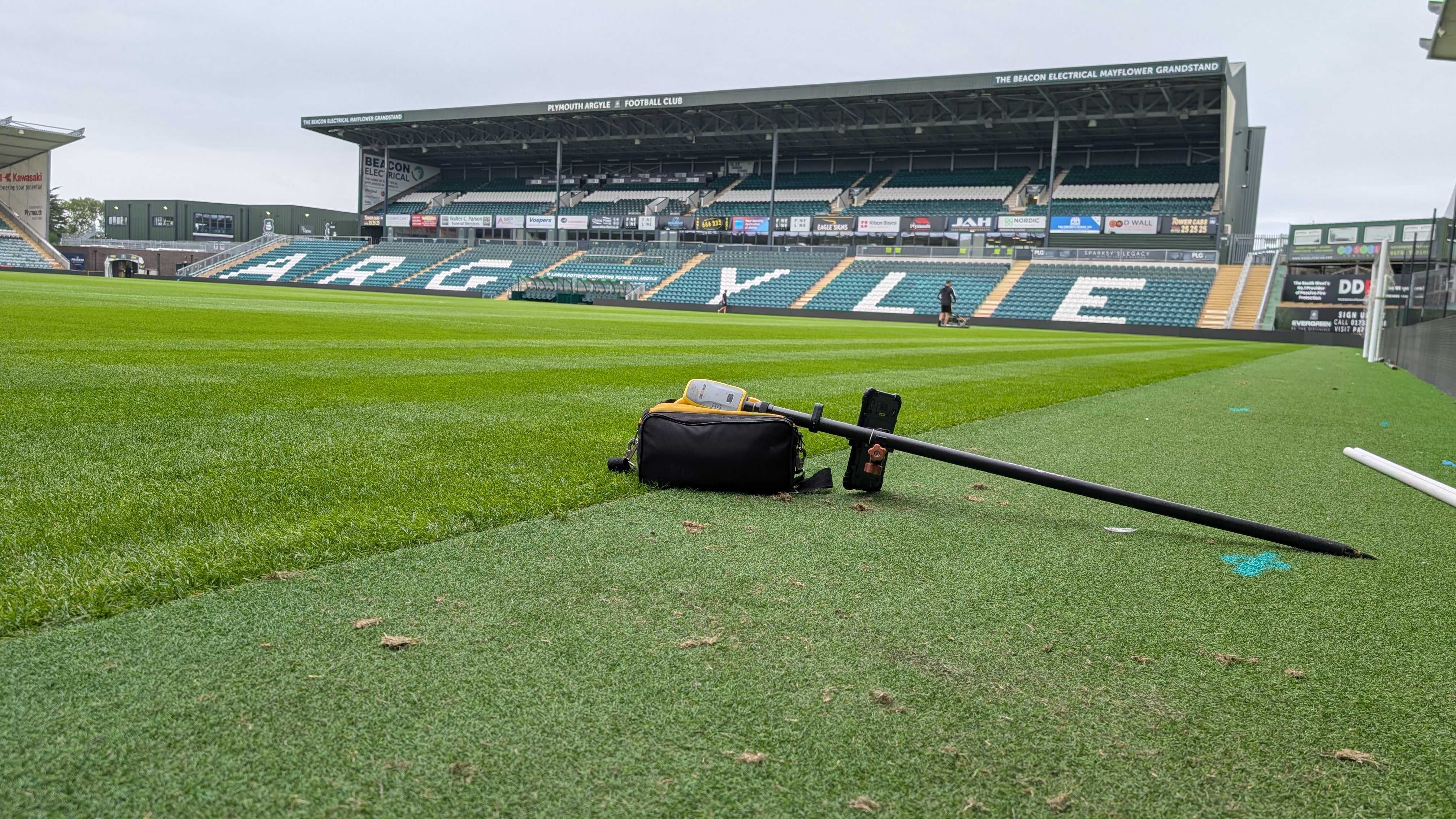
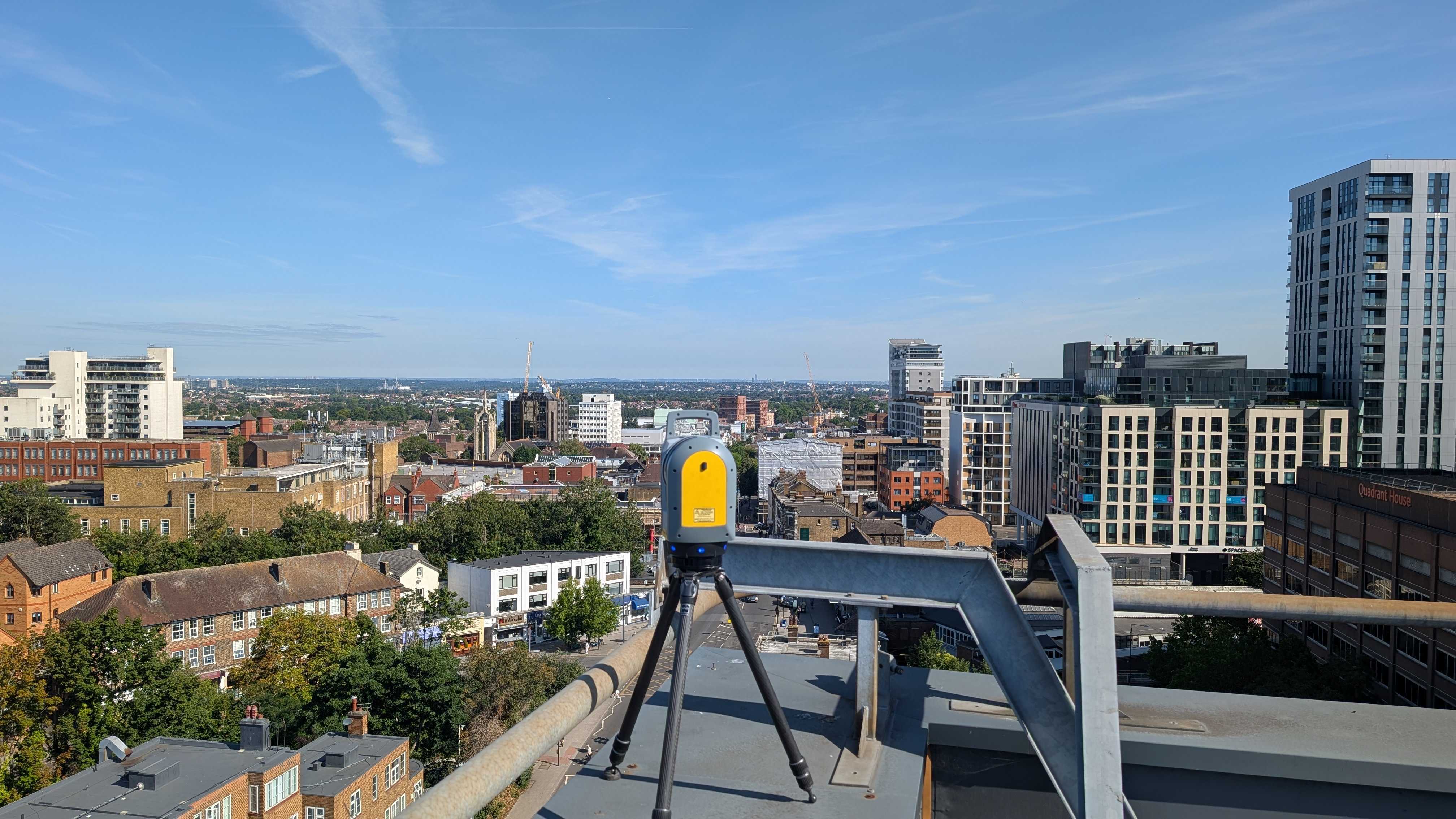
- Use the Right Tools: Ensure they have access to advanced equipment like LiDAR, GPS technology, and drones. Modern surveying technologies can provide greater accuracy and higher-resolution data, which traditional tools may lack.
Step 3: Survey Process
The surveyor will visit your site to collect the required data. Expect them to:
- Measure Elevations: They’ll take precise measurements of the land’s slopes, ridges, and valleys, which are crucial for construction planning.
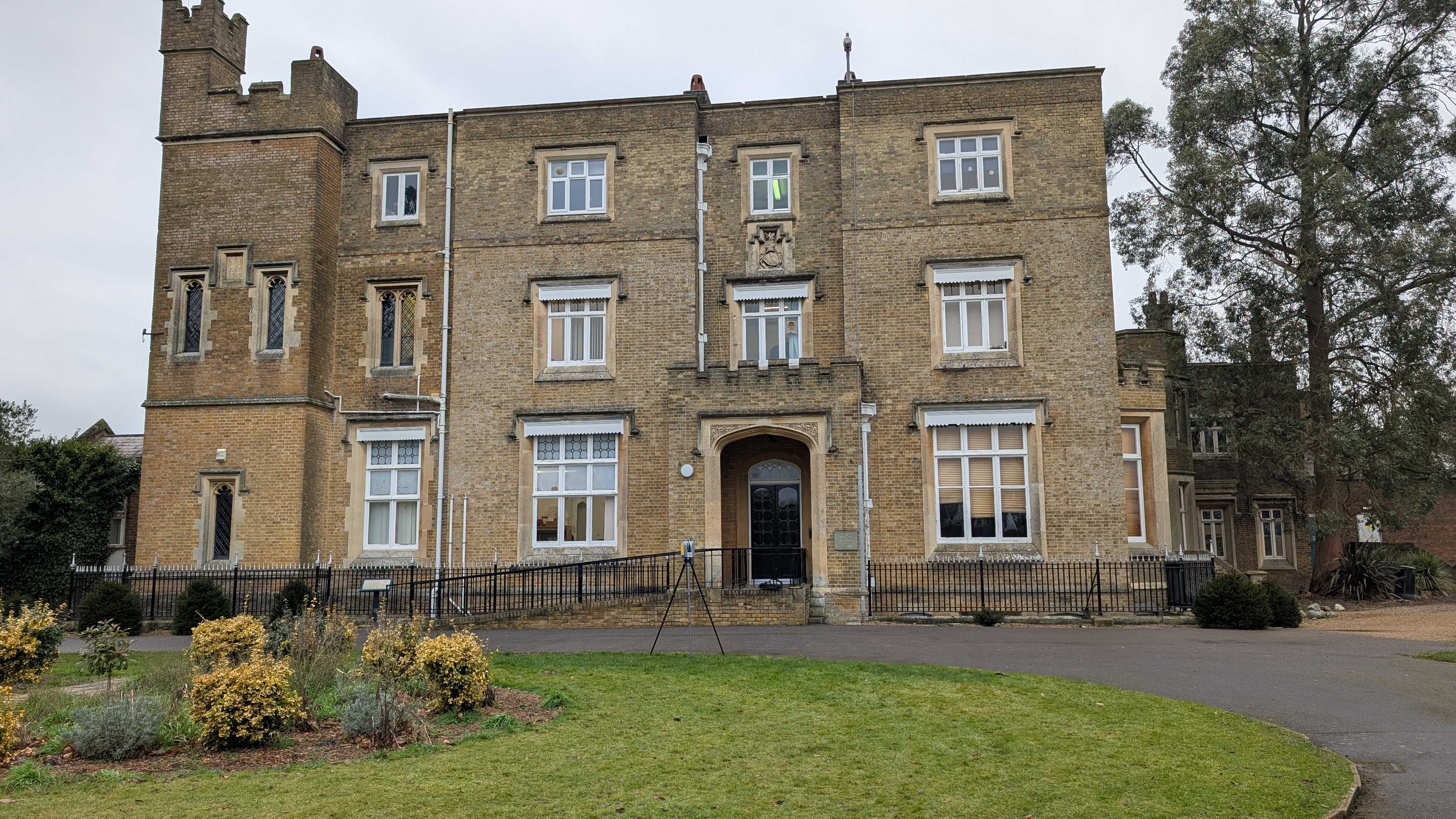
- Map Features: They’ll document existing structures, trees, roads and other significant features on the site. This helps determine where your project can be built without interference from existing features.
During the survey, they may also check for things like underground utilities, which can significantly affect construction costs and timelines if not identified in advance.
Step 4: Review and Receive Results
Once the data is collected, you’ll receive a survey report. This typically includes:
- Contour Lines: Showing elevation changes across the site. This is vital for understanding how the land will interact with water flow and foundation placement.
- Legal Boundaries: Marking the limits of the land. This is essential for ensuring your project doesn’t encroach on neighbouring properties.
- Key Features: Noting anything relevant to your project, like water drainage paths or existing buildings, which could be important for design decisions.
Costs of a Topographical Survey
The cost of a topographical survey can vary widely based on several factors. Understanding these will help you budget effectively.
Factors Affecting the Cost
- Size of the Site: Larger sites naturally require more time and effort. A 1-acre site will likely cost less than a 50-acre parcel.
- Survey Complexity: If your site has a complex topography (like steep slopes, uneven terrain, or dense vegetation), the survey will take more time and require more advanced tools.
- Technological Requirements: Using advanced methods like LiDAR or drone surveys may increase the cost but provide more accurate and detailed data, which can ultimately save costs in the long run by reducing errors in planning.
Typical Costs
- Basic Surveys: For smaller, relatively flat sites, expect to pay between £500 to £1,500. These are typical for small residential lots or simple development projects.
- Comprehensive Surveys: For large or complex sites, costs can range from £2,000 to £5,000, depending on the level of detail required. Commercial developments or areas with challenging terrain may push this cost even higher.
Budgeting Tips
- Get Multiple Quotes: Don’t settle for the first quote you receive. Different surveyors may offer different pricing structures, so getting multiple quotes ensures you make an informed choice.
- Clarify the Scope: Make sure the cost covers everything you need, including updates or revisions to the survey. Additional costs may arise if you request extra data or need the survey updated at a later date.
How to Choose the Right Surveyor
Choosing the right surveyor is critical to ensuring the success of your topographical survey. Here’s how to make the best decision.
Experience and Qualifications
Look for surveyors who are licensed and have experience in projects similar to yours. Check reviews, ask for references, and see if they specialise in the type of data you need.
A reputable surveyor will be transparent about their experience, especially when working with architects and engineers. Make sure the surveyor understands how to align their data with design criteria and building codes for your project.
Use of Technology
Modern surveying equipment can drastically improve the accuracy and efficiency of a topographical survey. Surveyors using LiDAR, 3D scanners and drones can capture detailed data that traditional methods may miss. If you’re working on a large site or have a complex design, these advanced technologies will provide better, more reliable results.
Red Flags to Avoid
Avoid choosing a surveyor based solely on price. Cheap surveys often lead to subpar results that cost more to fix down the line. Also, beware of surveyors who don’t offer guarantees on their work. If a surveyor is unwilling to correct errors, it’s a red flag.
Best Practices for Using Your Topographical Survey Data
Once you’ve received your topographical survey, it’s time to put it to work. Here are the best ways to use your data:
Incorporate It into Your Design Process
Engineers and architects use topographical survey data to inform everything from site grading to drainage and building layout. The data will help in identifying potential issues and finding solutions before construction starts. For example, poor drainage planning can be avoided by studying water flow paths in the survey report.
Planning for Site Development
Topographical data can also be used to predict potential challenges during construction, such as high water tables, erosion, or unstable soils. By planning for these issues, you can save money and time on costly rework later in the process.
Updating Data
If your project extends over a long period, you may need to update the survey data to reflect changes. For example, new buildings or roads might change the land’s elevation or contours.
FAQs about Topographical Surveys
How long does a topographical survey take?
The duration depends on the size and complexity of the site. A simple survey could take one to two days, while more intricate surveys may take up to a week. Larger, more detailed surveys can take even longer, depending on the terrain and technology used.
What if I skip a topographical survey?
Skipping a topographical survey can lead to poor planning and costly mistakes down the road. For instance, inaccurate elevation data could lead to improper drainage design, causing water damage during construction.
Can I use a topographical survey for legal purposes?
Yes. A topographical survey can be used to determine land boundaries, which is crucial in land disputes or property sales. Legal professionals often use it to verify property lines, easements, and zoning regulations.
Get in Touch with Intersect Surveys Today!
Are you ready to get started with your topographical survey? Intersect Surveys is the leading expert in delivering precise, detailed survey data that will set your project on the right track. From land evaluations to detailed design solutions, our team ensures that you get the most accurate data available.
Don't let inaccuracies derail your project! Contact Intersect Surveys now and ensure your next project is set up for success. Fill out our online contact form and get in touch with our experts today!


