Why Accuracy in Topographical Surveys Determines Project Success
Every development, design, or engineering project depends on reliable ground data. When a Topographical Survey is inaccurate, incomplete, or mismanaged, it can cause cascading problems, incorrect designs, construction delays, and costly rework.
At Intersect Surveys, we’ve seen first-hand how a single oversight can impact planning, compliance, and build execution. This guide outlines the top five mistakes to avoid in Topographical Surveys, and how to prevent them through better planning, quality control, and communication.
Mistake 1: Poor Survey Specification
Why does poor specification cause problems?
A weak or unclear survey specification is the most common cause of downstream errors. When the project brief doesn’t clearly define the survey’s purpose, the level of detail required, or the final deliverables, data gaps or irrelevant measurements are inevitable.
For example, a high-level feasibility survey may not provide the same level of precision required for engineering design. If these expectations aren’t clarified before work begins, teams may discover missing data only after designs have been developed, forcing rework and additional site visits.
How can this mistake be avoided?
Start with a clear scope. Define:
- The survey purpose (planning, design, or verification).
- The required accuracy and file format.
- Specific features to include, such as kerb heights, manholes, or vegetation.
- Coordinate system and georeferencing requirements.
At Intersect Surveys, we always confirm the full specification before starting any Topographical Surveys, ensuring every dataset supports the client’s exact design needs.
Mistake 2: Inadequate Ground Control
Why is ground control critical for survey accuracy?
Ground control points form the foundation of any accurate survey. They tie measurements to a fixed coordinate system, allowing all data to align consistently. When control points are missing or incorrectly set up, every subsequent reading risks being offset, meaning maps and models no longer match real-world positions.
This issue often goes unnoticed until different project datasets are combined and inconsistencies appear between design layers.
How do professional surveyors manage control effectively?
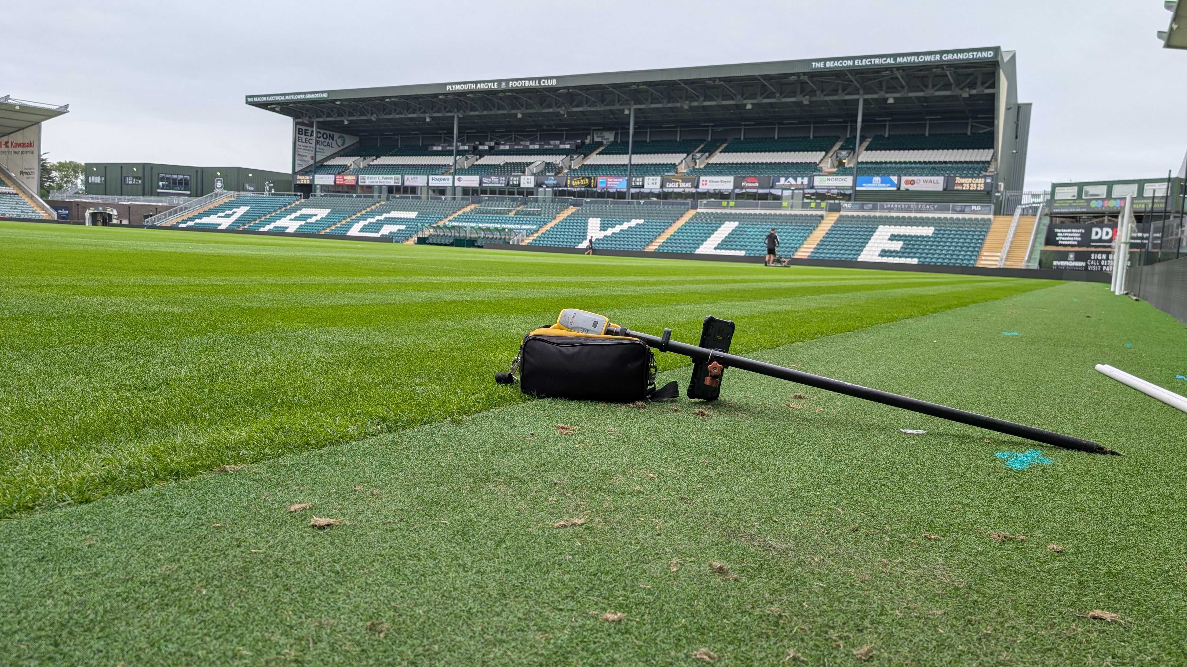
At Intersect Surveys, we establish permanent control points across the site using GPS and Total Station equipment. Each point is checked against Ordnance Survey benchmarks and verified through multiple readings.
This method ensures positional accuracy typically within 10–15 millimetres horizontally and 5–10 millimetres vertically, allowing consistent alignment between all project stakeholders’ data.
Mistake 3: Incomplete Site Coverage
Why does missing coverage create design errors?
Incomplete site coverage occurs when survey teams fail to capture every area relevant to design or construction. It might happen due to restricted access, time pressure, or challenging terrain.
These omissions can lead to incorrect assumptions about slopes, drainage, or boundary features, forcing engineers to base design work on partial information. The result? Expensive adjustments once construction begins.
How can this issue be prevented?
Thorough planning and reconnaissance are essential. Before fieldwork starts, surveyors should review access routes, visibility, and obstacles.
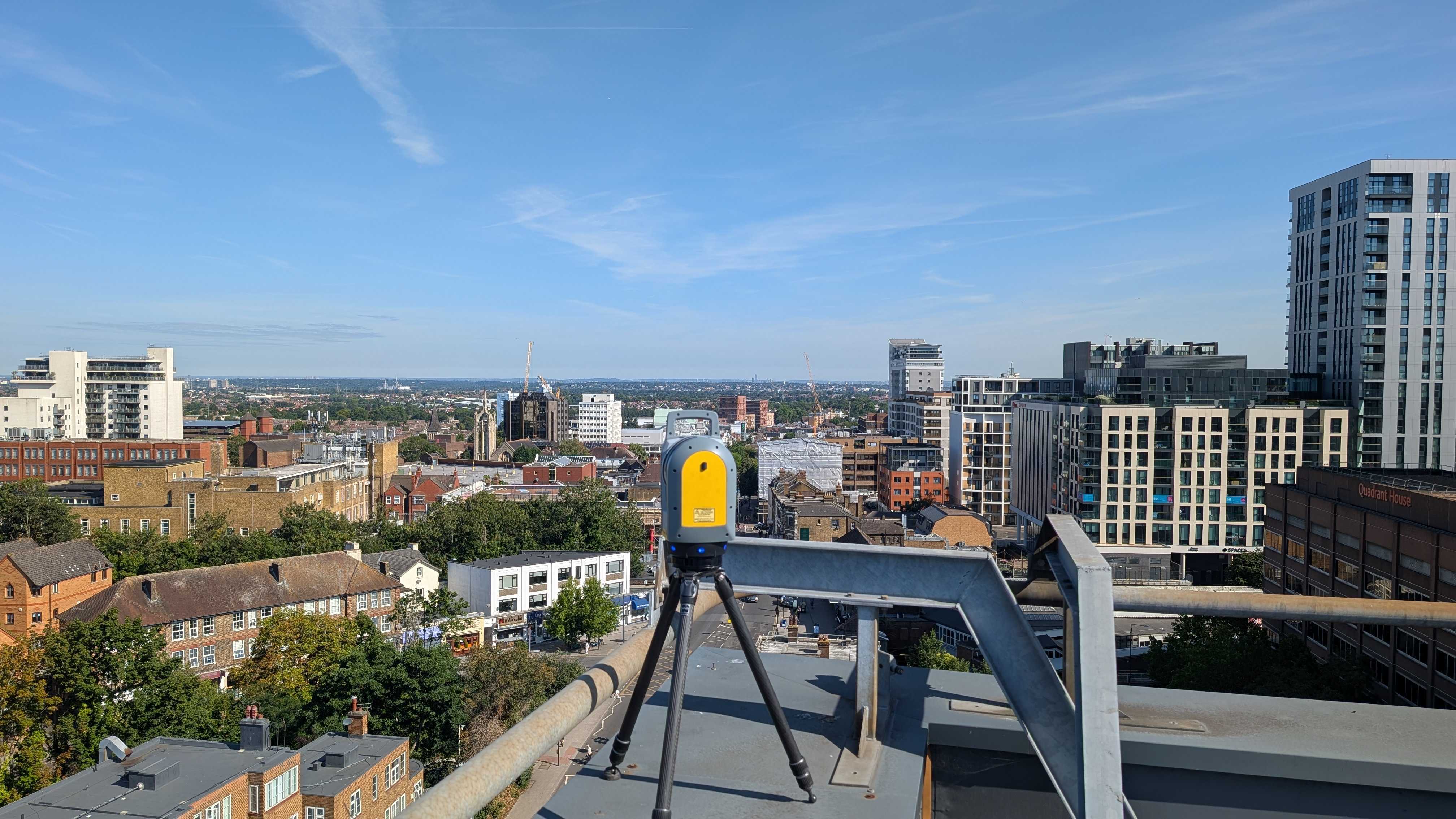
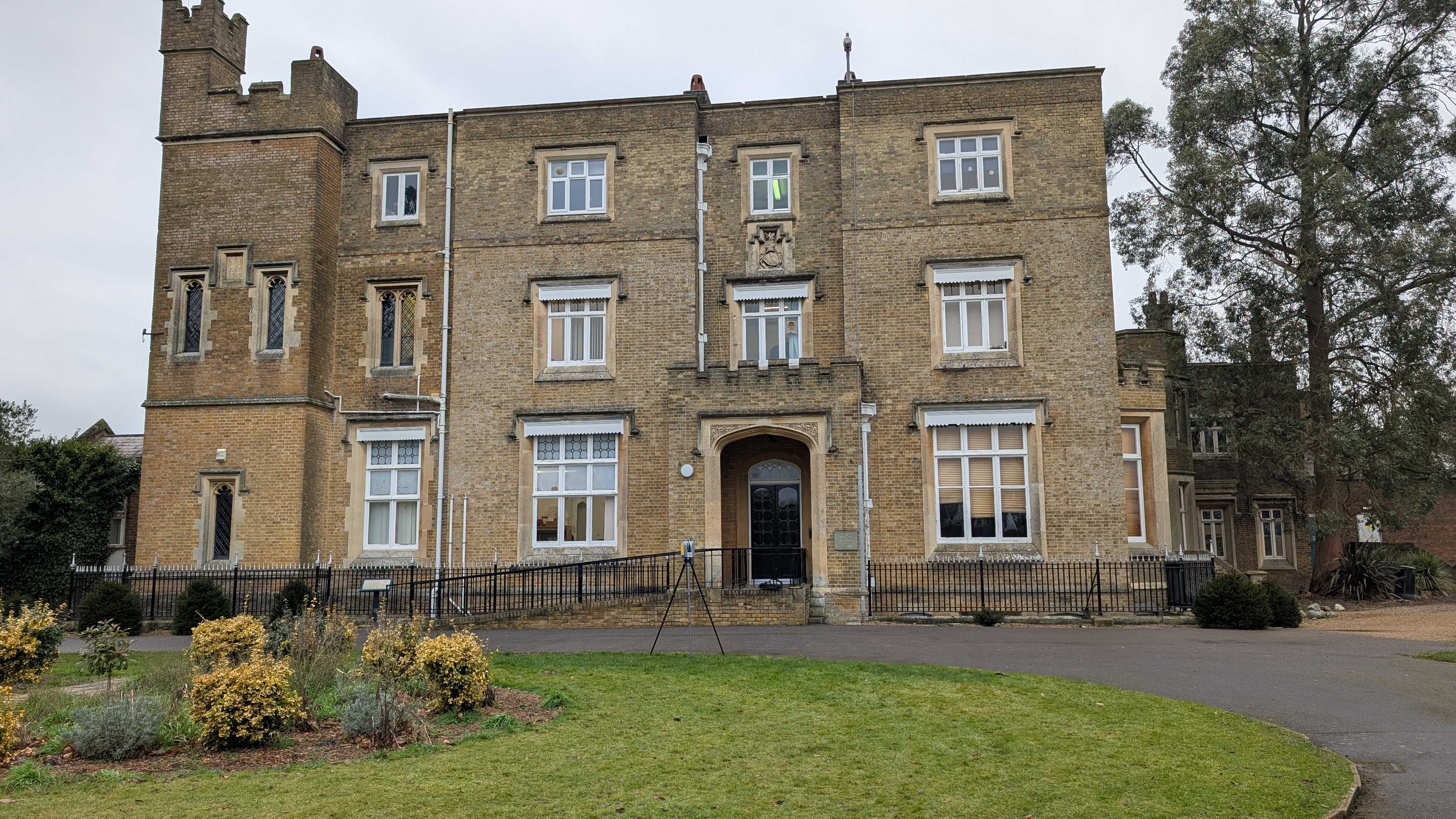
At Intersect Surveys, we combine multiple technologies, GPS, Total Station, and 3D laser scanning, to ensure comprehensive data capture. In complex or inaccessible areas, we deploy drones to complete coverage safely and efficiently. This hybrid approach removes guesswork and guarantees complete visibility of the site.
Mistake 4: Lack of Quality Control and Verification
What happens when data isn’t properly checked?
Skipping verification is one of the most damaging shortcuts in surveying. Even small measurement discrepancies can introduce major errors in elevation or boundary alignment. These issues may not appear until the design is integrated into CAD or BIM systems, at which point corrections become time-consuming and costly.
Poorly verified surveys can also compromise compliance, particularly when data is used for drainage or planning submissions.
How do professionals ensure quality assurance?
At Intersect Surveys, every Topographical Survey undergoes a structured quality control process:
- Comparison of GPS and Total Station datasets.
- Cross-checking of levels between control points.
- Automated error detection using specialist software.
- Final peer review by senior surveyors before delivery.
This disciplined approach ensures that the delivered dataset is accurate, traceable, and ready for direct use in design environments.
Mistake 5: Poor Communication Between Teams
How does weak communication affect project outcomes?
Even technically correct surveys can fail to meet project expectations when communication breaks down between surveyors, designers, and engineers. If coordinate systems, layering formats, or file conventions aren’t aligned early, data integration becomes a bottleneck.
Designers may spend hours manually adjusting or reformatting survey data, increasing the chance of errors and delaying progress.
How can effective communication prevent this?
Successful projects begin with collaboration. At Intersect Surveys, we liaise directly with architects and engineers before fieldwork begins. We confirm preferred CAD or BIM formats, coordinate systems, and layer naming conventions, ensuring that data integrates seamlessly with downstream design processes.
By maintaining open communication, we eliminate surprises at handover and reduce the risk of misalignment between design disciplines.
How Can Project Teams Eliminate These Mistakes Entirely?
Avoiding these five issues comes down to planning and process. The most successful projects follow a disciplined approach:
- Define clear objectives and scope before fieldwork.
- Establish verified control points tied to national coordinate systems.
- Ensure full data coverage through reconnaissance and multi-technology capture.
- Apply rigorous quality checks before final delivery.
- Maintain direct communication between surveyors and design teams.
At Intersect Surveys, every one of our Topographical Surveys follows this exact workflow to guarantee dependable, consistent results for architects, engineers, and developers.
How Does Professional Surveying Add Long-Term Value to Projects?
Investing in high-quality Topographical Surveys saves money over the lifecycle of a project. Accurate data minimises design risk, prevents boundary disputes, and ensures efficient use of resources.
Poor data, by contrast, can lead to construction errors that far exceed the cost of a professional survey. One misplaced level or unrecorded slope can alter drainage behaviour, foundation design, and overall project safety.
Reliable surveys protect budgets, timelines, and reputations, a measurable return on investment for any developer or design professional.
When Should You Commission a Topographical Survey?
The ideal time to conduct a Topographical Survey is before any design or planning work begins. Early data collection enables architects and engineers to model terrain accurately, identify constraints, and plan efficient solutions.
You should also consider updating surveys after significant ground changes, demolition, or excavation to ensure that designs reflect the site’s true condition.
Regular verification ensures every decision is based on accurate, current data.
Key Takeaways: Avoiding Topographical Survey Mistakes
- Define project requirements before commissioning a survey.
- Always use verified ground control and coordinate systems.
- Ensure complete site coverage using appropriate technology.
- Verify every dataset through structured quality checks.
- Keep communication open between surveyors and designers.
Plan Your Next Project with Confidence
Avoiding survey errors starts with trusted expertise. Intersect Surveys provides reliable Topographical Surveys that eliminate risk and form the foundation for confident design and construction.
Our surveyors combine advanced GPS, Total Station, and laser scanning techniques with strict quality assurance, delivering results you can depend on.
Schedule a consultation with Intersect Surveys today to discuss your project requirements and ensure every decision is built on verified, accurate data.


