Why Should You Understand the Cost of Topographical Surveys Before Starting a Project?
Accurate land data is essential for every development, but one of the first questions clients ask is: how much does a topographical survey cost in the UK?
The answer depends on several key factors, site size, terrain complexity, location, and required level of detail. Knowing these variables helps project managers, architects, and developers budget realistically and avoid costly assumptions later.
At Intersect Surveys, we believe clarity and transparency are just as important as precision. This guide explains how Topographical Surveys are priced, what influences cost, and how to ensure your investment delivers measurable value from start to finish.
What Is a Topographical Survey and Why Is It Worth the Cost?
A Topographical Survey is a detailed mapping of the land’s surface and its physical features, including levels, boundaries, trees, buildings, and access routes. The resulting data provides a 3D model of the site, giving designers and engineers an accurate reference for planning and construction.
Investing in a professional Topographical Survey early in the project prevents expensive rework and design errors. For developers, it offers the confidence that every design decision is based on verified ground conditions, not assumptions.
Simply put, the cost of a survey is small compared to the potential losses caused by inaccurate data.
How Much Does a Typical Topographical Survey Cost in the UK?
While no two projects are identical, most Topographical Surveys in the UK fall within certain pricing ranges.
For general reference:
- Small residential plots (under 0.5 acres): £500–£900
- Medium sites (1–5 acres): £900–£2,000
- Large or complex commercial sites (5–20 acres): £2,000–£6,000+
- Expansive infrastructure projects or multi-site developments: prices typically quoted after consultation
These figures are estimates. The final price depends on multiple project-specific factors explained below.
What Factors Influence the Cost of a Topographical Survey?
1. How Does Site Size Affect Survey Pricing?
Larger sites naturally take longer to survey. A single residential plot may be measured in a few hours, while a commercial estate or infrastructure corridor could require several days. Surveyors usually base pricing on total area, with per-acre or per-hectare rates decreasing slightly as scale increases.
2. Why Does Site Complexity Impact the Final Cost?
Complex sites with steep gradients, dense vegetation, or multiple structures demand more data points and processing time. Urban locations with restricted access or heavy traffic require additional safety planning and control setups, which can extend fieldwork hours.
Simple, open plots cost less; constrained or built-up sites cost more due to increased measurement density.
3. How Does Required Detail Change the Cost?
A survey commissioned for planning permission may require fewer features than one needed for full engineering design. The greater the specification, the more time surveyors spend capturing and processing features such as kerb heights, manholes, or surface drainage.
At Intersect Surveys, we tailor every Topographical Survey specification to the client’s needs, avoiding unnecessary extras while ensuring the detail matches the project stage.
4. Does Location Affect Pricing?
Yes. Projects located far from major towns or cities may include travel and accommodation costs. Access conditions, for example, restricted entry hours, congested roads, or proximity to high-security areas, can also affect duration and therefore cost.
Urban and rural environments each present unique challenges that influence how long a survey takes to complete.
5. How Does Technology Choice Influence Survey Cost?
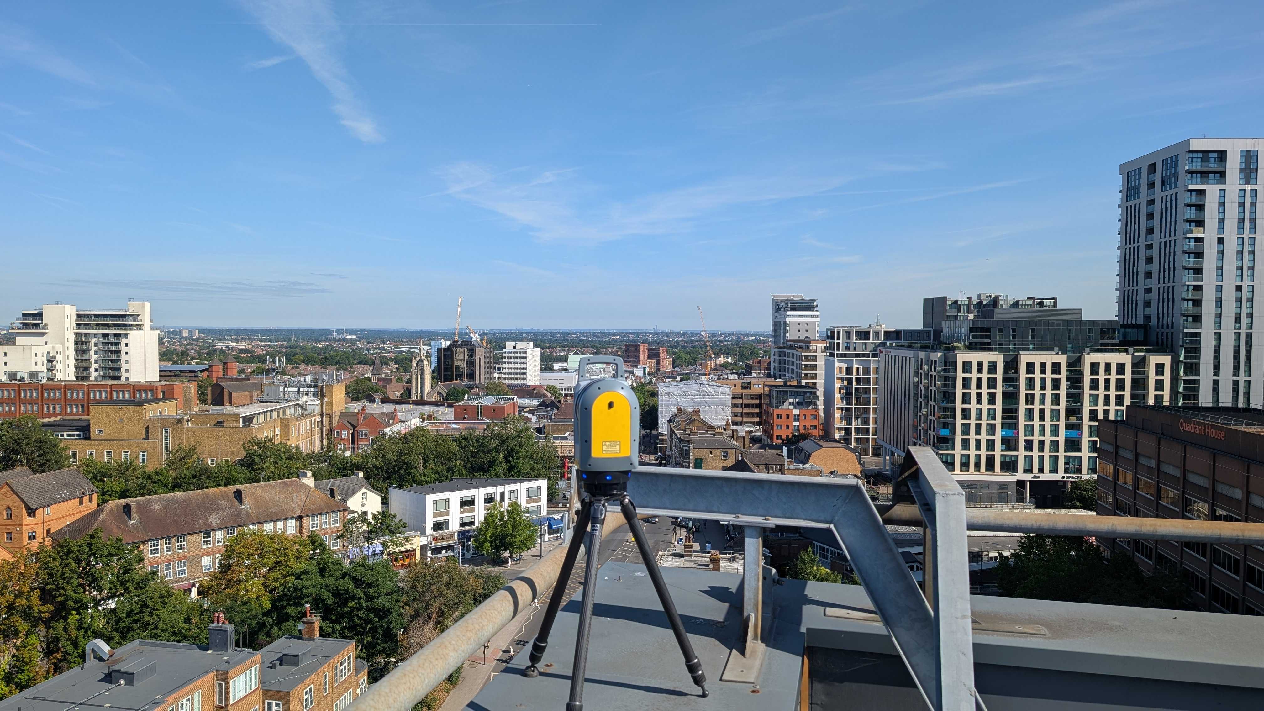
The technology used can also change the pricing model. Drone mapping and laser scanning, for instance, offer exceptional coverage and accuracy but require additional processing time. For large or uneven terrain, these methods often save cost overall by reducing time spent on-site.
Traditional Total Station or GPS methods may suit smaller, flat sites where high-resolution scanning isn’t necessary.
Why Do Professional Surveyors Charge Different Rates?
Experience, certification, and quality assurance all factor into cost. Reputable firms like Intersect Surveys invest in advanced equipment, continuous staff training, and robust verification processes, ensuring reliable, legally defensible data.
Choosing the cheapest option often results in incomplete or inconsistent data, which can create far greater costs later in the design phase. Professional surveys deliver value through accuracy, not price alone.
How Long Does a Typical Topographical Survey Take to Complete?
For small residential sites, fieldwork may take one day, with results delivered within 3–5 working days. For multi-acre commercial or infrastructure projects, surveys can span several days or weeks, depending on terrain and complexity.
Post-processing, converting raw field data into usable CAD or BIM files, often takes as long as the site work itself. The time invested in verification is what guarantees reliability.
What Is Included in the Cost of a Professional Topographical Survey?
A comprehensive Topographical Survey quote typically covers:
- Pre-survey consultation and specification planning
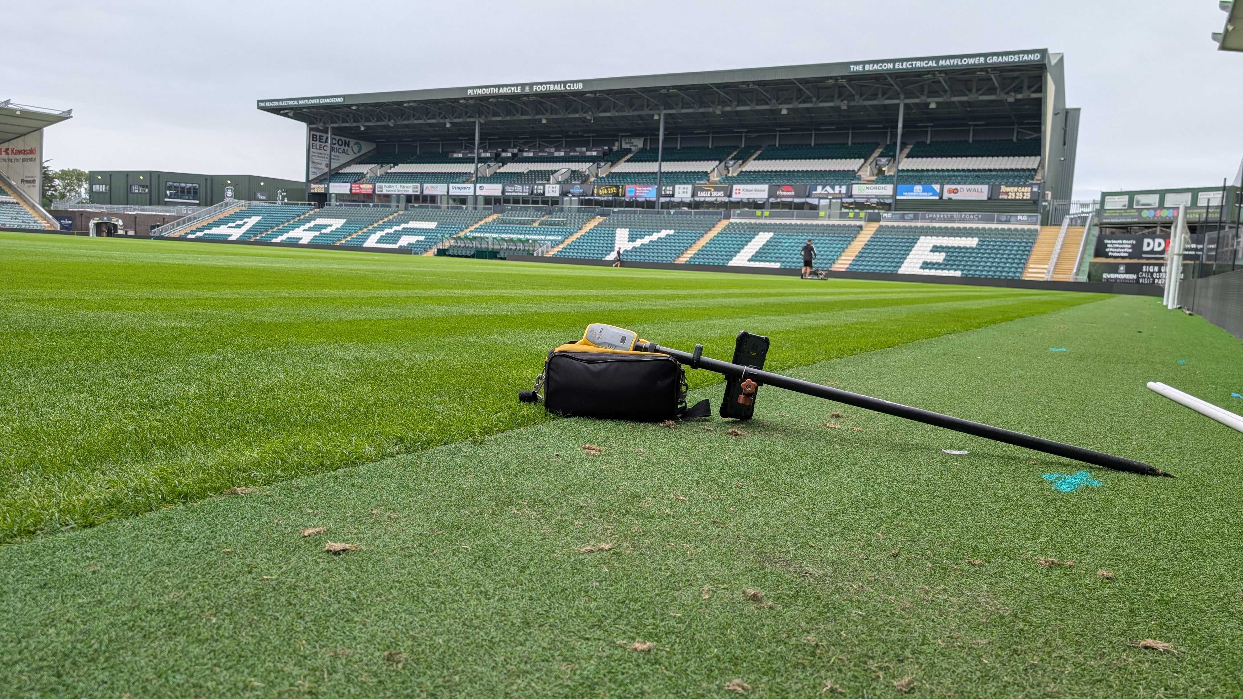
- Field data collection with GPS, Total Station, or laser scanning
- Data processing, modelling, and quality assurance
- Delivery of CAD, PDF, or BIM-compatible files
- Follow-up clarification or revisions where necessary
At Intersect Surveys, all our quotes include these core deliverables with no hidden fees. We also maintain full insurance and quality control compliance for peace of mind.
How Can You Keep Topographical Survey Costs Within Budget?
What Steps Help Reduce Unnecessary Expense?
- Define Your Scope Clearly: Avoid requesting excessive detail for early-stage feasibility studies.
- Provide Existing Site Information: Old drawings, boundaries, or records help surveyors plan efficiently.
- Ensure Site Access: Clear entry reduces delays and repeat visits.
- Combine Services: Pairing Topographical Surveys with utility or boundary surveys can lower overall cost through shared mobilisation.
- Commission Early: Early surveys prevent rework, saving significant time and money later.
Collaborating closely with your survey provider from the start ensures a cost-effective and precise result.
Are Cheap Topographical Surveys Worth It?
It may be tempting to select the lowest quote, but price often reflects experience and data quality. Poorly executed surveys can introduce errors that cascade into planning and construction phases.
A single miscalculated level can result in drainage issues, boundary disputes, or costly redesigns. The most affordable option up front can quickly become the most expensive mistake down the line.
Working with certified professionals like Intersect Surveys ensures data accuracy, traceability, and accountability throughout the project.
What Are the Hidden Costs of Inaccurate or Incomplete Survey Data?
- Design Revisions: Misaligned data leads to redesigns that consume time and fees.
- Construction Delays: Groundworks halted due to mismatched levels or unknown obstacles.
- Legal Disputes: Boundary or access discrepancies causing neighbour conflicts or compliance issues.
- Health and Safety Risks: Unrecorded features leading to hazards on site.
When compared to these risks, the cost of a thorough Topographical Survey represents genuine value protection for every stakeholder.
How Do Professional Surveyors Ensure Value Beyond Price?
At Intersect Surveys, we deliver more than measurements. Every Topographical Survey includes technical interpretation, project advice, and integration support for CAD and BIM systems.
We focus on quality assurance at every step, from control point verification to final digital modelling, ensuring our clients receive dependable results ready for immediate design application.
That professional precision adds long-term value far beyond the initial survey fee.
How Do Topographical Survey Costs Compare to Project Scale?
To put survey investment into perspective:
- For a £1 million development, a detailed Topographical Survey might represent less than 0.1% of total cost.
- Yet it directly influences design accuracy, build efficiency, and compliance, areas that collectively represent over 50% of total project value.
In other words, the return on investment is exponential. Accurate data at the start saves multiples of its cost throughout construction.
When Should You Request a Quotation for a Topographical Survey?
The best time is always before design or planning begins. Early quotations allow developers and architects to incorporate survey costs into project budgets from the outset.
To receive an accurate quote, provide:
- The site address and approximate boundary
- Purpose of the survey (planning, design, or verification)
- Any specific requirements or coordinate systems
At Intersect Surveys, our team reviews every enquiry promptly and issues tailored proposals with clear scope, timeframes, and pricing.
Key Takeaways: What Should You Remember About Topographical Survey Costs?
- Costs vary based on site size, complexity, and detail level.
- Investing in quality data prevents much higher costs later.
- Early commissioning simplifies design and improves accuracy.
- Working with certified professionals guarantees compliance and reliability.
- Combining surveys can optimise both cost and project efficiency.
Plan Your Next Project with Confidence
Understanding the true cost of a Topographical Survey helps you plan smarter and build safer. At Intersect Surveys, we deliver accurate, cost-effective surveying solutions tailored to your project’s scale and purpose.
Our experienced surveyors use advanced GPS, Total Station, and laser scanning technology to produce reliable results that support every stage of design and construction.
Secure a consultation today and see how our precise Topographical Surveys can provide the clarity your development needs, without unexpected costs later.


