In every construction project, precision is not just a goal—it's a necessity.
From the initial blueprint to the final brick, every element of a project must align perfectly with the design to ensure success.
However, achieving this level of accuracy is often easier said than done. Many construction projects are plagued by delays, costly rework, and structural issues that stem from inaccuracies in initial measurements and alignment.
But what if there was a way to virtually eliminate these errors?
Site control using GNSS (Global Navigation Satellite System) and total station offer the accuracy and reliability that your project needs.
In this blog, we’ll explore how GNSS and total station technology are simplifying site control, ensuring that every aspect of your project is completed efficiently.
The Pain Points In Traditional Site Control
Traditional site control methods, while historically foundational, often struggle to meet the precision demands of modern projects. These methods, which rely heavily on manual measurements and human judgment, can introduce errors that have far-reaching consequences.
One of the most common pain points is the inaccuracy in initial measurements and alignment. When a project begins with even slight deviations from the design, these errors can compound as the construction progresses. Walls may not line up correctly, foundations could be poured in the wrong location, or crucial infrastructure might be misaligned.
Another significant issue with traditional site control is its susceptibility to human error. Surveyors and construction teams often rely on physical markers, such as stakes or tape measures, to set out the boundaries and key points of a project. However, these markers can be easily disturbed, misread, or incorrectly placed
In essence, traditional site control methods, while familiar and accessible, often fall short of the precision required for today’s complex construction projects.
GNSS And Total Station Technology
As construction projects become increasingly complex, the demand for precise and reliable site control has never been higher.
What is GNSS?
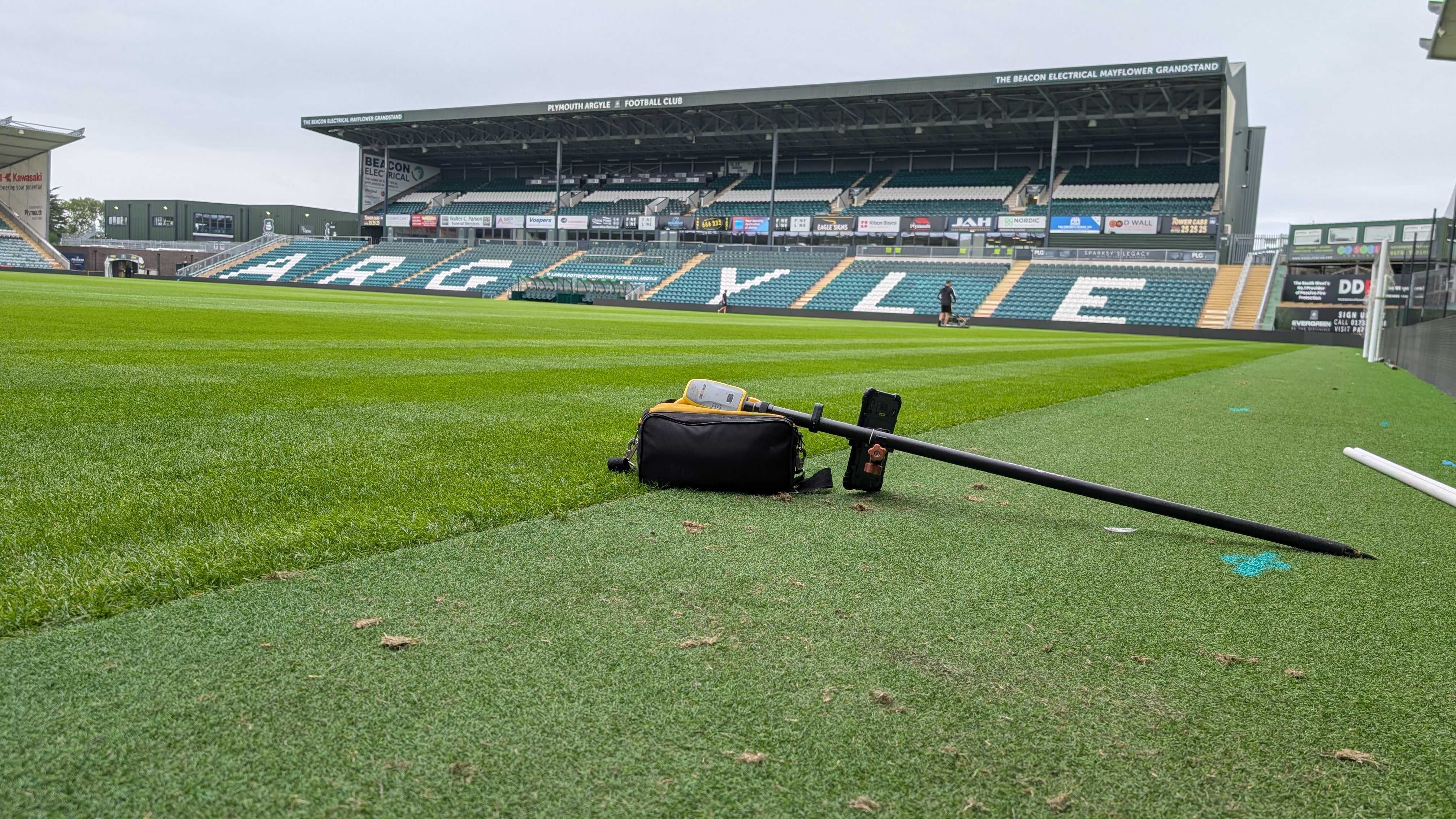
GNSS, or Global Navigation Satellite System, is a network of satellites that provide geospatial positioning with global coverage. In the context of construction, GNSS allows surveyors to pinpoint exact locations on Earth with remarkable accuracy. By receiving signals from multiple satellites, GNSS receivers can determine precise coordinates, which are crucial for establishing control points, laying out grids, and aligning structures.
The use of GNSS in construction site control provides several key advantages. It significantly reduces the time required for setting out and measuring large areas, as surveyors no longer need to rely solely on manual methods. Additionally, GNSS can operate in various weather conditions and terrains, making it a versatile tool for projects of all sizes and complexities.
What is a Total Station?
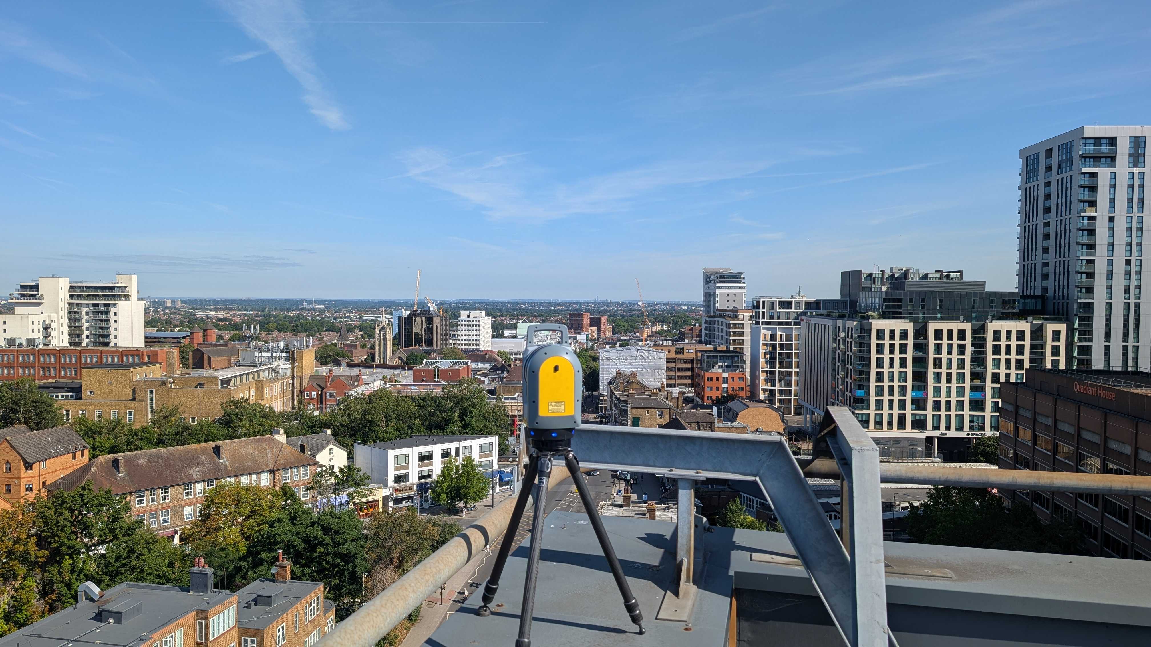
While GNSS is invaluable for providing broad geospatial data, total stations offer a different kind of precision, particularly over shorter distances. A total station is a sophisticated piece of surveying equipment that combines an electronic theodolite (which measures angles) with an electronic distance meter (EDM).
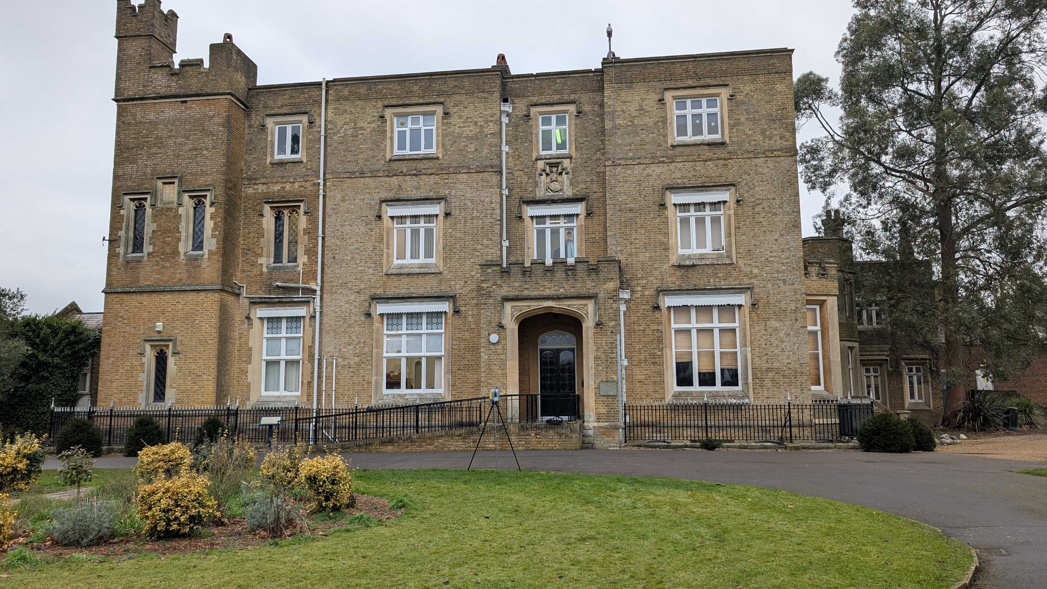
Total stations are particularly effective for detailed work on construction sites. They are used to set out key points, verify the placement of structural elements, and ensure that everything is aligned according to the design specifications.
The Synergy of GNSS and Total Station
When combined, these technologies create a comprehensive site control system that covers all aspects of a construction project, from the initial groundwork to the final alignment of structural elements.
By integrating GNSS and total station technology into site control practices, construction teams can achieve a level of accuracy that significantly reduces the risk of errors. This not only keeps projects on track and within budget but also ensures that the final construction is as close to the original design as possible.
How This Technology Improves Construction Projects
- Enhancing Accuracy and Reducing Errors
GNSS and total stations provide a level of accuracy that traditional methods simply cannot match.
- Keeping Projects on Track and Within Budget
GNSS and total stations help prevent issues by providing accurate data from the outset, ensuring that every phase of the project starts on solid ground.
Together, these tools not only enhance the accuracy of site control but also help keep projects on track and within budget by reducing the risk of errors and minimising the need for costly corrections.
By embracing GNSS and total station technology, construction teams can achieve a higher standard of accuracy and reliability, ensuring that every project is executed with the precision required for success.
Contact Intersect Surveys for more information on setting out and site control!
FAQs
1. What are the main differences between GNSS and total station technology in construction site control?
GNSS (Global Navigation Satellite System) provides geospatial positioning by receiving signals from satellites, making it ideal for establishing broad control points and measuring large areas with high accuracy. It works well across various terrains and weather conditions. On the other hand, a total station combines an electronic theodolite and a distance meter to offer precise angle and distance measurements for detailed work over shorter distances.
2. How do GNSS and total station technologies improve the accuracy of construction projects?
By integrating GNSS and total station technologies, construction teams can achieve a high level of precision that is difficult to match with traditional methods. GNSS provides accurate geospatial data for the overall site, while total stations allow for precise measurements on smaller scales, ensuring that structures are aligned correctly.
3. Why are traditional site control methods less effective in modern construction projects?
Traditional site control methods often rely on manual measurements, physical markers, and human judgment, which can introduce errors. These methods are prone to inaccuracies in alignment and measurement, especially as construction projects grow in complexity. Physical markers such as stakes or tape measures can be easily disturbed or misread, leading to compounded errors as the project progresses.


