When it comes to construction and development, regulatory compliance stands as a cornerstone for project success.
Yet, navigating regulations and standards like PAS128 can pose significant challenges.
In this blog, we delve into the vital role of expert topographical surveys in mastering compliance.
Understanding Regulatory Hurdles
Regulations often present challenges to project advancement.
How many times have you worked on a project to find that you need to meet certain requirements to move forward?
These hurdles manifest in various forms, each contributing to the complexity of navigating regulations and standards like PAS128.
Project Delays:
Regulatory compliance issues can lead to unforeseen delays in project timelines. From area setbacks to environmental regulations, each hurdle encountered along the regulatory pathway can significantly impact project schedules.
Compliance Issues:
Meeting the myriad of regulations and standards, including the detailed requirements outlined in PAS128, can be daunting. Compliance issues stemming from misinterpretation or oversight can result in costly revisions and setbacks.
Complex Regulatory Landscape:
Understanding the nuances of these regulations, including PAS128, requires expertise and precision to ensure adherence to stringent requirements.
Navigating PAS128:
PAS128 presents a comprehensive framework for utility mapping, defining rigorous standards for accuracy and data quality. Navigating the intricacies of PAS128 compliance demands expertise to ensure compliance with its stringent requirements.
By understanding the nature of these regulatory hurdles, you will begin to appreciate the importance of expert topographical surveys in overcoming them.
The Role Of Expert Topographical Surveys
Expert topographical surveys play a pivotal role in navigating regulatory landscapes and ensuring compliance with standards like PAS128.
So, how do these surveys contribute to overcoming regulatory hurdles?
We’ve listed 5 key ways!
- Accurate Data Collection
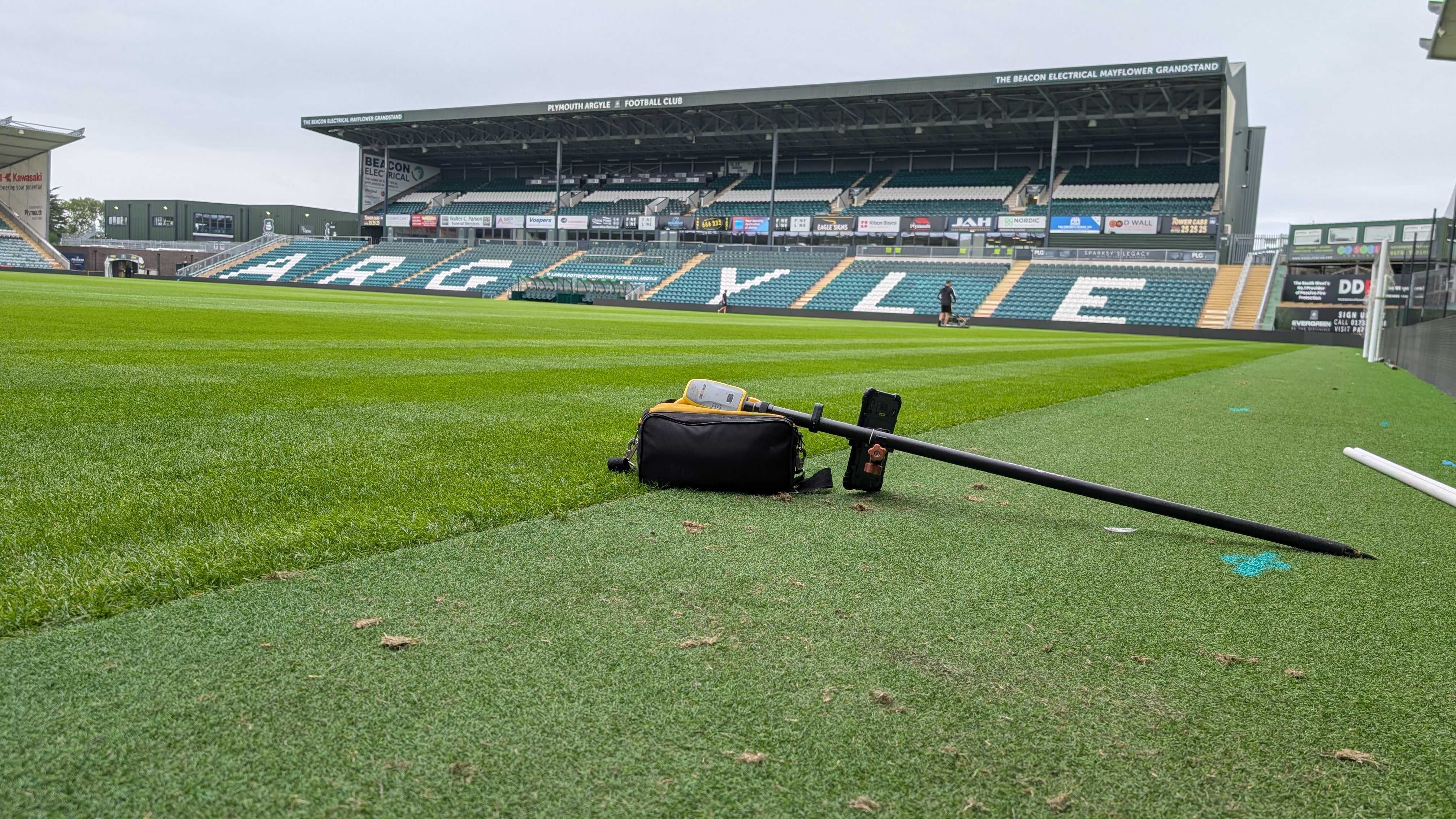
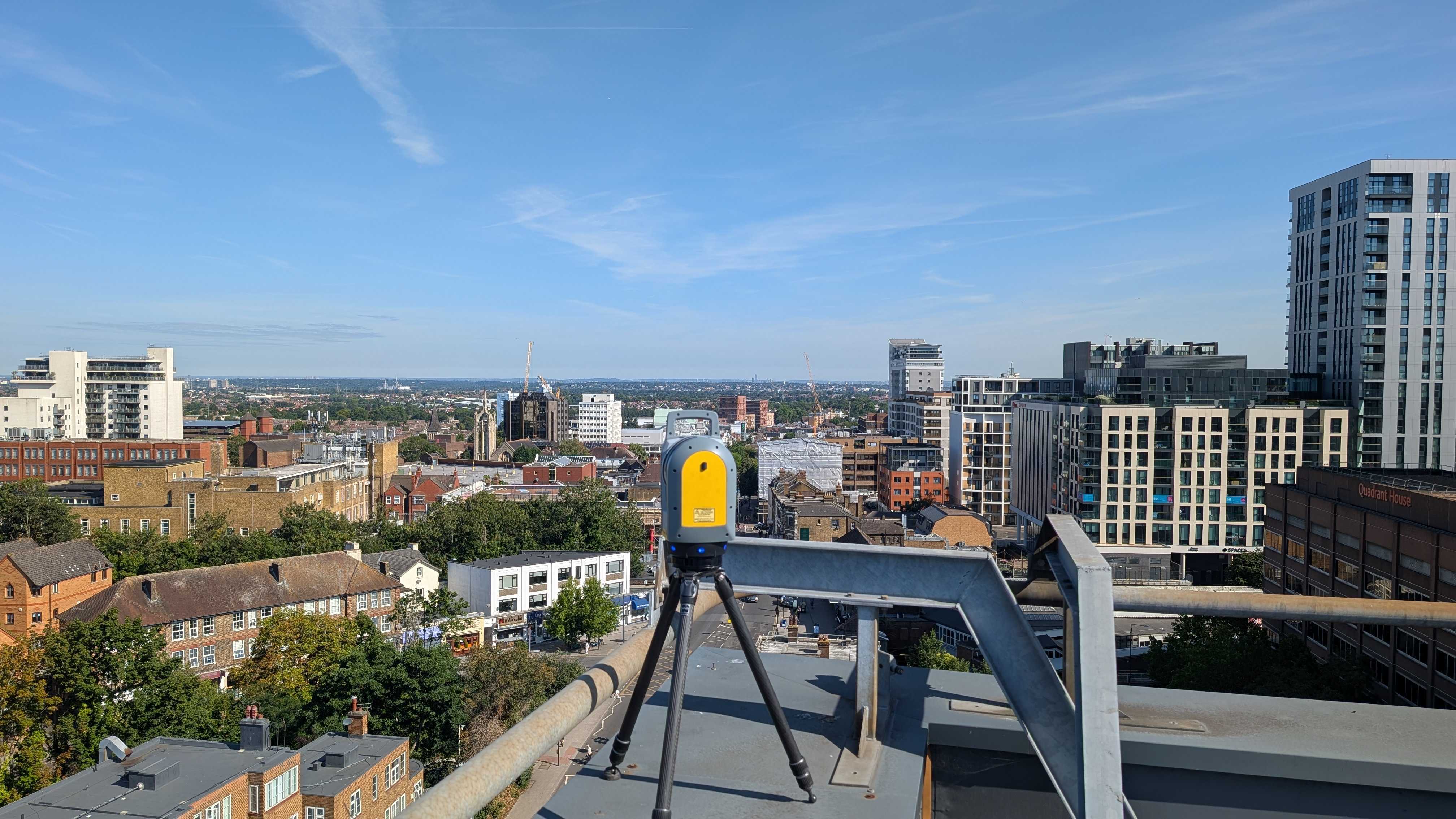
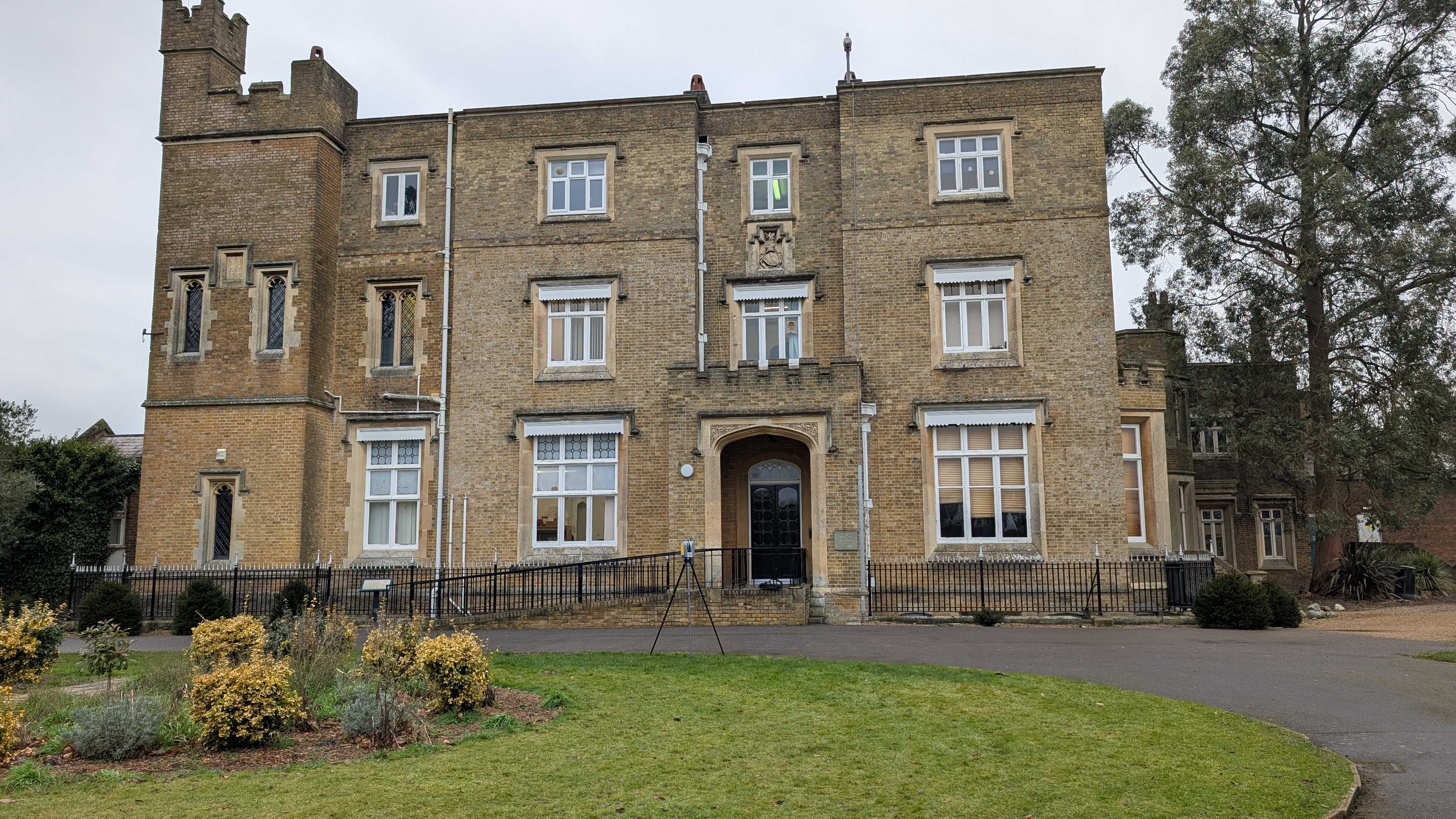
Expert topographical surveys involve precise data collection methods, including advanced surveying technologies such as GPS, LiDAR, and robotic total stations. This ensures that the data gathered meets the stringent accuracy requirements set forth by regulatory standards like PAS128
- Comprehensive Mapping
Topographical surveys provide comprehensive mapping of the surveyed area, capturing details such as terrain features, elevation changes, and existing infrastructure. This detailed mapping is essential for identifying potential regulatory issues and ensuring compliance with other regulations.
- Utility Mapping and PAS128 Compliance:
Expert topographical surveys play a crucial role in utility mapping, a key component of PAS128 compliance. By accurately mapping underground utilities and infrastructure, these surveys help mitigate the risk of damage during construction activities and ensure compliance with PAS128 standards.
- Risk Assessment and Mitigation:
Topographical surveys facilitate thorough risk assessment and mitigation strategies, helping project stakeholders identify potential regulatory risks and address them proactively. This proactive approach minimises the likelihood of compliance issues and project delays down the line.
5.. Consultation and Collaboration:
Expert topographical surveyors, such as those at Intersect Surveys, often serve as valuable consultants, providing insights and guidance on regulatory requirements and compliance strategies. Their expertise enables effective collaboration with project stakeholders, ensuring that regulatory considerations are addressed from the outset of the project.
Minimising Project Delays And Ensuring Stress-Free Compliance
Conducted early in the project lifecycle, these topographical surveys identify potential regulatory issues, align data collection with standards, and facilitate streamlined approval processes.
By understanding the regulatory landscape, project stakeholders can implement proactive risk mitigation strategies, reducing the risk of delays and disruptions. Additionally, these surveys contribute to a stress-free regulatory experience by providing clear documentation, professional guidance, and assurance of compliance.
Working alongside Intersect Surveys allows you to use the accurate data we provide for your site to adhere to such regulations. Topographical surveys can provide you with not only the right information about your project, but the peace of mind that you’re within guidelines such as PAS128.
Get in touch today to receive a quote!
FAQs
1. How do expert topographical surveys help minimise project delays?
Expert topographical surveys conducted early in the project lifecycle identify potential regulatory issues, enabling proactive measures to address them. By aligning with regulatory standards and facilitating streamlined approval processes, these surveys help minimise delays.2. What role do topographical surveys play in ensuring compliance with regulatory requirements?
Topographical surveys provide accurate data and mapping that align with regulatory standards, such as PAS128. By facilitating clear communication with regulatory authorities and providing assurance of compliance, these surveys play a crucial role in meeting regulatory requirements.3. How can topographical surveys contribute to a stress-free regulatory experience?
Topographical surveys offer clear documentation, professional guidance, and assurance of compliance, creating a stress-free experience with regulatory processes. By addressing compliance issues proactively and providing expert insights, these surveys instill confidence in project stakeholders.4. Can topographical surveys help mitigate regulatory risks effectively?
Yes, topographical surveys enable project stakeholders to identify and mitigate regulatory risks early in the project lifecycle. By understanding the regulatory landscape and implementing proactive risk mitigation strategies, these surveys help minimise compliance-related delays and disruptions.5. What benefits do expert topographical surveys offer in navigating regulatory landscapes?
Expert topographical surveys provide thorough data and expert insights, allowing project teams to navigate regulatory landscapes confidently. With clear documentation, alignment with regulatory standards, and proactive risk mitigation strategies, these surveys ensure compliance and minimise project delays.


