When people hear the word "survey," they often assume it refers to a single process. However, surveying is a broad field with various types, each designed for specific purposes.
Using the wrong survey—or skipping one altogether—can lead to costly mistakes, legal disputes, and project delays. A property developer may need a topographic survey to map out land features, while a homeowner dealing with a boundary dispute requires a boundary survey.
Understanding the different types of surveys and their applications can help you make informed decisions, ensuring your project runs smoothly and stays compliant with regulations.
In this blog, we’ll break down the most common types of surveys, their specific uses, and when you might need one.
What Makes Surveys Different?
Surveys are not a one-size-fits-all solution. While all surveys aim to collect accurate spatial data, the type of information gathered and the methods used can vary significantly depending on the project's needs.
The differences between surveys primarily come down to three key factors:
Purpose – Every survey serves a distinct function. A boundary survey ensures legal property definitions, whereas a topographic survey provides a detailed land map for construction planning. Meanwhile, a GPR survey is crucial for detecting underground utilities before excavation.
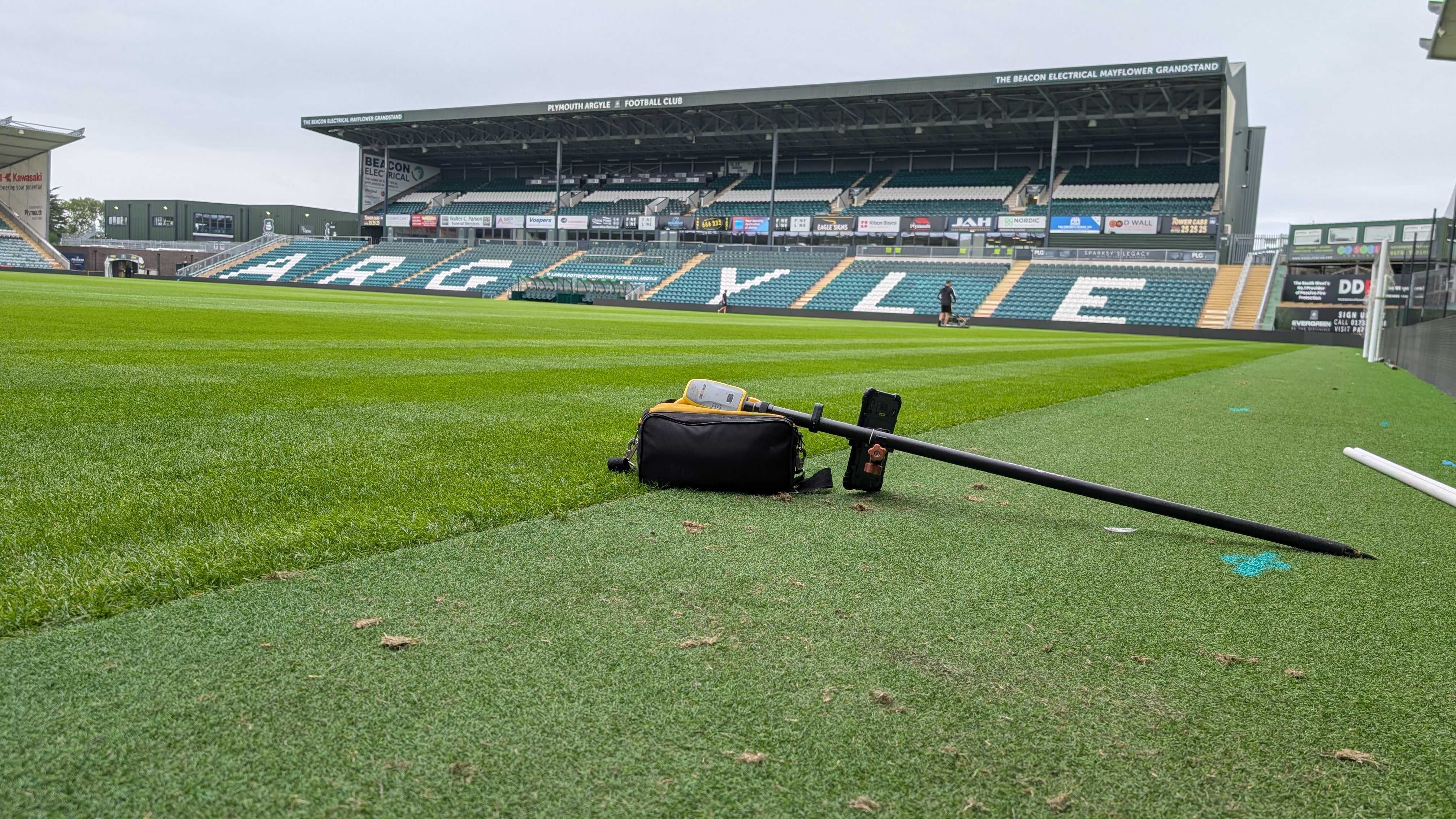
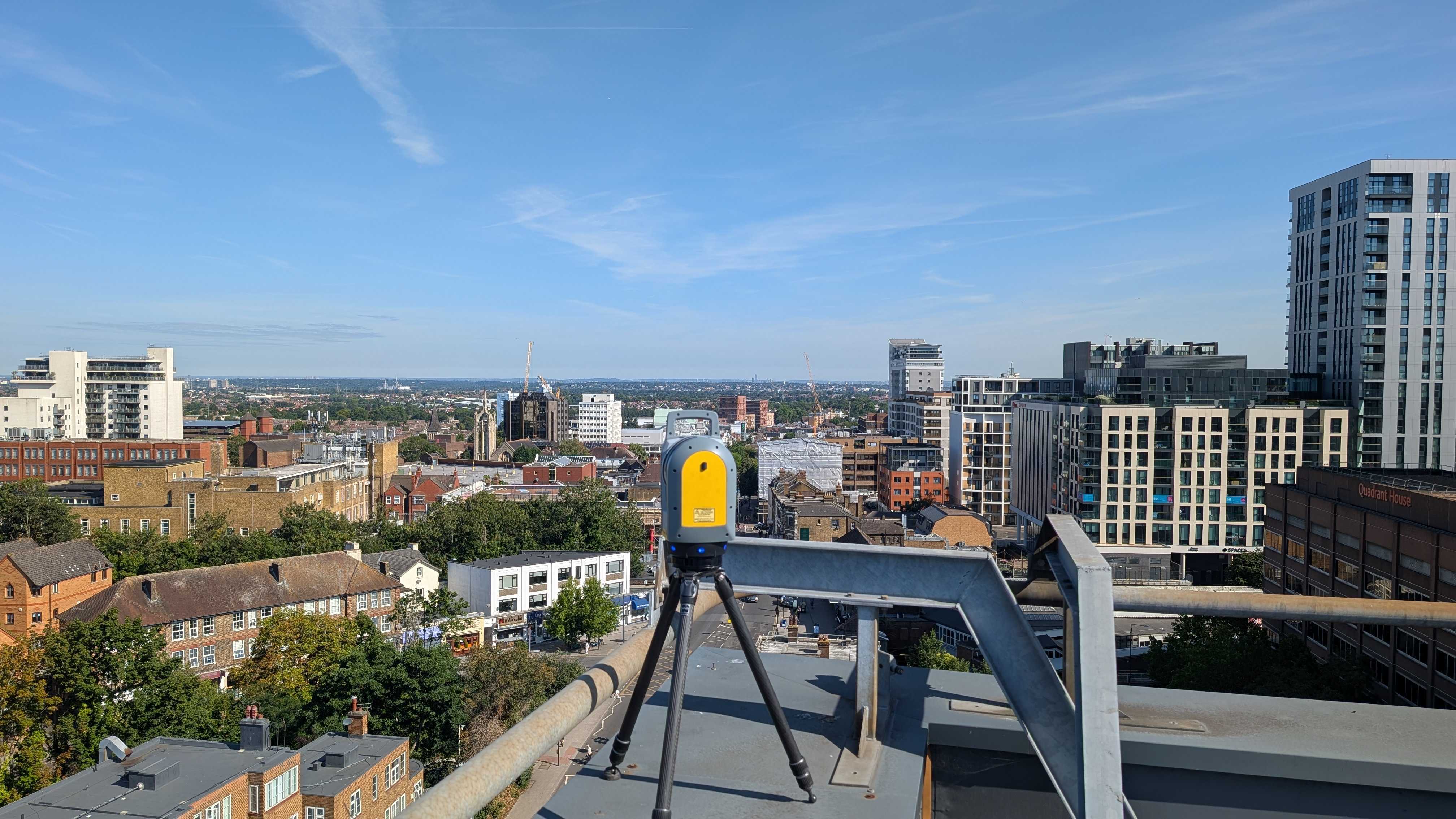
Technology & Equipment – Surveyors use various tools and techniques based on the survey type. For example, GPS and GNSS systems help define precise property boundaries, laser scanners create accurate 3D models of buildings, and Ground Penetrating Radar (GPR) reveals hidden underground structures.
Legal & Project Requirements – Some surveys, like measured building surveys, are necessary for renovations and extensions, while others, such as boundary surveys, are required for property transactions and dispute resolutions.
Let us dive a little deeper into these popular survey types.
Boundary Surveys: Defining Property Lines with Accuracy
A boundary survey is one of the most common types of land surveys, used to establish the precise legal boundaries of a property.
Surveyors conduct boundary surveys by researching historical records, including deeds, previous surveys, and land registry documents. They then use advanced tools such as GPS, GNSS (Global Navigation Satellite Systems), and total stations to measure and confirm property lines on-site.
Topographic Surveys: Mapping Land Features for Planning and Development
A topographic survey provides a detailed map of a piece of land, identifying both natural and man-made features. Unlike boundary surveys, which focus on legal property lines, topographic surveys capture elevation changes, slopes, drainage patterns, vegetation, roads, buildings, and other site-specific elements.
Surveyors use tools like GPS, total stations, and 3D laser scanners to create an accurate representation of the terrain.
Measured Building Surveys: Capturing Structural Details with Precision
A measured building survey provides accurate documentation of a structure’s interior and exterior dimensions. These surveys are essential for renovations, extensions, space planning, and heritage conservation projects.
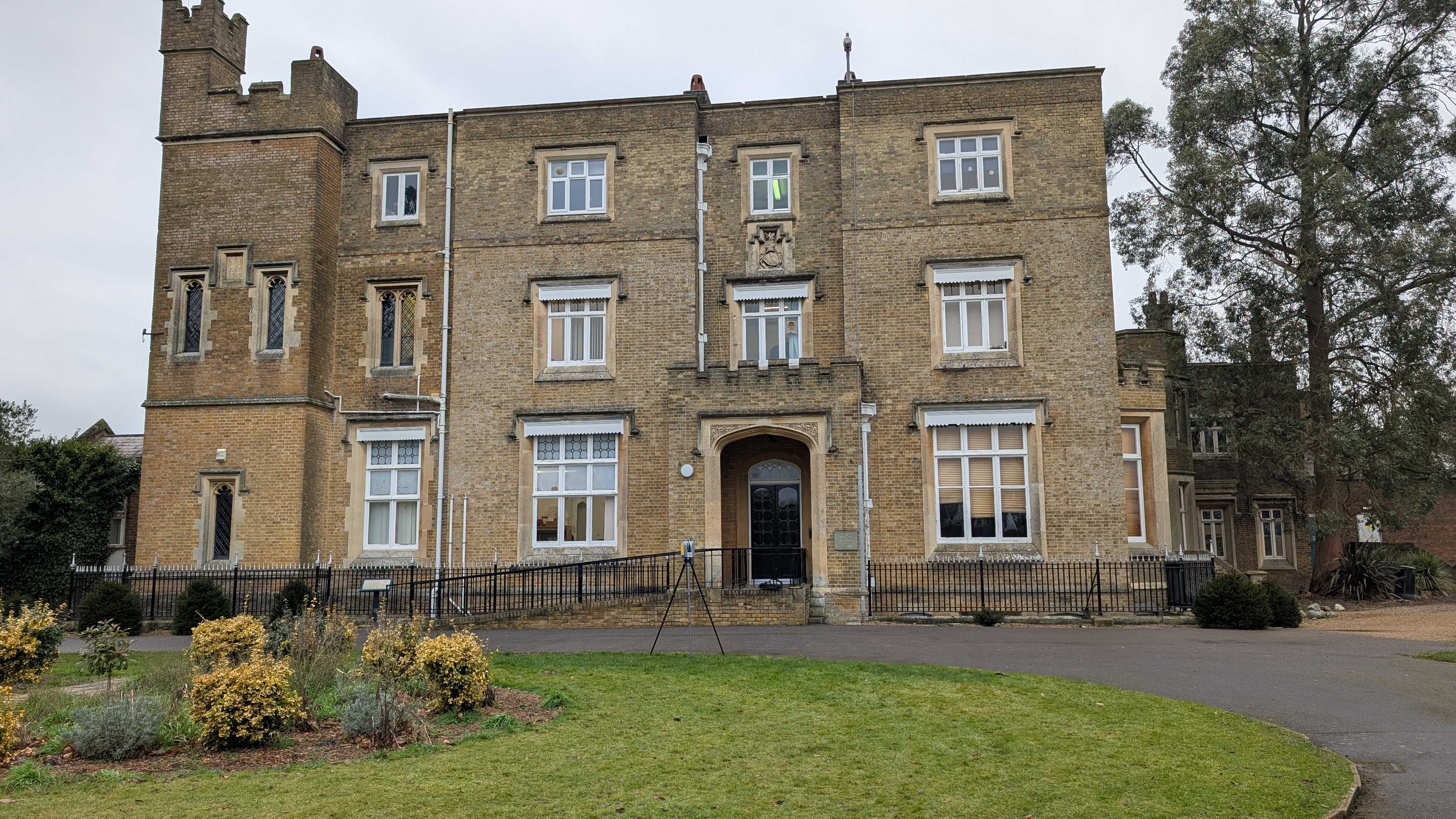
Surveyors use 3D laser scanning, total stations, and CAD software to generate highly detailed floor plans, elevations, and cross-sections of a building. This information helps architects, engineers, and contractors understand the structure’s layout and dimensions before making modifications.
By capturing highly accurate data, measured building surveys prevent design errors, ensure regulatory compliance, and provide a solid foundation for future development.
GPR Surveys: Seeing Below the Surface
Ground Penetrating Radar (GPR) surveys allow surveyors to detect and map underground features without disturbing the surface. This non-invasive technique is essential for identifying buried utilities, foundations, voids, and other hidden structures that could impact construction or excavation projects.
GPR works by transmitting high-frequency radio waves into the ground. When these waves encounter different materials—such as pipes, cables, or changes in soil composition—they reflect back to the surface, creating a detailed image of what lies beneath. This technology is particularly useful in urban areas where underground infrastructure is complex and where traditional excavation methods could lead to costly damages.
Choosing the Right Survey for Your Project
Selecting the right survey depends on the specifics of your project, legal requirements, and site conditions.
Each survey type plays a vital role in ensuring smooth, compliant, and cost-effective decision-making. Without the right survey, you risk costly delays, legal complications, and unforeseen obstacles.
Whether you're a homeowner, developer, or contractor, understanding and selecting the appropriate survey is the first step toward a successful project.
Contact Intersect Surveys today to discuss your needs and ensure you have the right data before moving forward.
FAQs
1. How do I know which type of survey I need for my project?
The right survey depends on your project’s purpose. For example, a boundary survey is ideal for resolving property line issues, while a topographic survey is necessary for construction planning. If you're modifying an existing structure, a measured building survey will provide accurate floor plans.
2. Can one survey cover everything I need?
Different surveys collect different types of data, and using the wrong one can leave you without the information you need. For example, a topographic survey won't provide legally defined boundaries, and a GPR survey won't show above-ground features.
3. Why is it important to use a qualified surveyor for different survey types?
Each survey type requires specific equipment, training, and experience. A qualified surveyor ensures your data is accurate, meets legal requirements, and suits the needs of your project.


